The warning for Tasman, west of Motueka, runs from 3am on Thursday to 9pm, and anticipates 120 to 150mm of rain, with more possible around the coast.
The warning for the remainder of the district, as well as the Nelson District, Richmond and Bryant Ranges including the Rai Valley, and the Marlborough Sounds, is from 6am to 9pm on Thursday, and forecasts 80 to 100mm of rain about the Sounds and ranges.
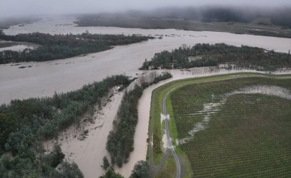
More than 300mm of rain fell in some areas late last week, leading to widespread flooding, slips and road closures.
Two localised states of emergency remain in place as the clean-up continues.
Community meetings will take place on Tuesday in Tapawera and Wakefield.
MetService also had a heavy rain warning in place for Bay of Plenty, west of Whakatane from 8am on Thursday until 3am on Friday, with up to 120mm of rain forecast.
Cold starts
On Tuesday morning parts of the South Island woke up to freezing temperatures.
About 6am Christchurch was -1.8C, with fine weather and a high of 11C forecast for the city.
In Queenstown it was -1.1C early in the morning with a forecast of fine weather, light winds and a high of 9C.
MetService showed the coldest temperature was -5.2C at 6am at Twizel, where the day's high was forecast to be 4C.
The warmest place in Aotearoa before 7am was Auckland's North Shore with 11.4C.
MetService said it was a frosty start to the day for Canterbury and Marlborough, but overall Tuesday was forecast to be relatively settled apart from the odd shower or two.