
Respite from last weekend’s wild weather looks to be short lived as more strong winds, heavy rain and snow are expected to batter much of the South for the rest of this week.
Conditions settled earlier this week after damaging winds felled trees, downed powerlines and forced flight cancellations on Saturday.
A spokeswoman for the Central Otago District Council said this morning a general warning has been issued for high winds in the Ida Valley, St Bathans and Naseby areas.
"Our teams are currently out monitoring and clearing debris (fallen branches). Take extra care, slow down and drive to the conditions."
Meanwhile, the Milford Road (State Highway 94) is closed today due to a high risk of avalanche.
MetService meteorologist Michael Pawley said more unsettled weather is on the way and was typical weather for this time of year.
"We're in that unsettled spring westerly flow at the moment and over the course of the next couple of days we've got a front that moves up the country. Ahead of it, we've got these strong winds and then heavy rain."
Mr Pawley said there was a strong wind watch in place for exposed inland parts of Otago and Southland until noon today, and there was a strong possibility it could be upgraded to an orange warning.
"And then as that front pushes on through, we see there's also heavy rain for the western parts of the South Island.
"We have an orange warning for heavy rain in Fiordland and the headwaters of the Otago lakes, so we're expecting that the amount of rain that's coming might spill over into those headwaters and cause streams and rivers to rise on that side of the divide."
Up to 200mm of rain was expected about the main divide and up to 140mm was expected within 20km further east.
Peak rates of up to 25mm per hour was expected about the divide.
The warning was in place until 4pm today and he urged residents to be wary of streams and rivers which might rise rapidly, surface flooding, slips and difficult driving conditions.
There was also a possibility of thunderstorms extending north and east from the Queenstown Lakes district, Fiordland and much of Southland, including Stewart Island.
The thunderstorms might bring localised heavy rain with intensities of 10mm to 15mm per hour, strong wind gusts of 80kmh to 90kmh, and hail of 5mm to 15mm in diameter.
Once the main band of rain had passed, showers would linger in many places before clearing by the end of Friday, and temperatures would be in the low to mid-teens for most.
However, he said the reprieve would be short-lived because another ridge was expected to build behind the present front late on Friday.
"So, on Friday, we're going to see some winds start to pick up in the far south ahead of the next feature, which will be making landfall towards the weekend.
"That's something we'll be keeping a close eye on," he said.
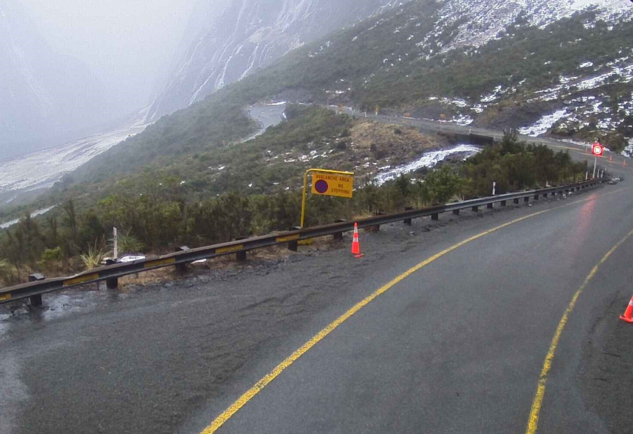
Avalanche risk high for Milford Rd
In Southland, the Milford Road is closed from East Gate (Hollyford) to Donne River (Westgate) on Wednesday, due to heavy warm rain throughout the day increasing the avalanche hazard to high.
Milford Road Alliance advised they were unsure what time SH94 would reopen on Thursday, due to a cold front moving through the morning.
"The rest of the week is looking unsettled with snow and heavy rain forecast, so further travel disruptions may be possible."
Forecast
Wednesday: Heavy and thundery rain. | Thursday: Showers gradually easing, then clearing by evening. Snow possible above about 800 metres. | Friday: Fine at first, but showers developing later with snow possible near the tunnel. | Saturday: Periods of rain, possibly heavy. Snow possible about the tunnel at first. | Sunday: Periods of rain, possibly heavy.
- additional reporting Allied Media


