PHOTO
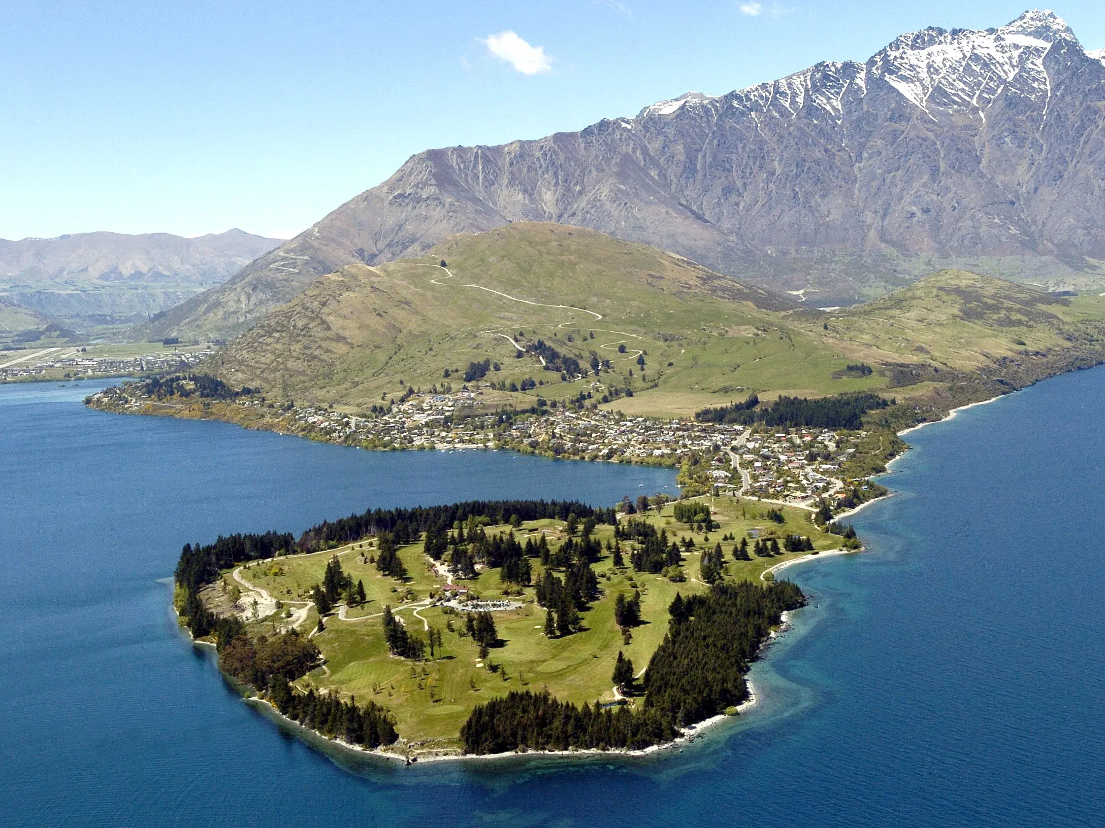
Niwa researchers are mapping Lake Wakatipu to study the potential risk of landslips and tsunamis in Queenstown during an earthquake.
This week, scientists are surveying the lake floor using advanced sonar equipment, which uses sound to measure how deep the seabed is and what is sitting on the surface.
Marine geologist and project lead Dr Joshu Mountjoy said studying the lake floor can show whether landslips or tsunamis had happened in the past.
''We are looking for big piles of rocks - if you have an avalanche or landslide coming down the mountain, when it reaches the valley floor, it forms a big pile of debris and dirt.
''The big question is have these things happened in the last 1000 years ... The conditions are pretty much the same as we have now, so if it happened then, there is every reason it could happen again.''
The findings will create the most detailed picture of the lakebed ever produced, Dr Mountjoy said.
The study follows a pilot programme at Lake Tekapo two years ago, when researchers found it would be possible for a 5m-high wave to hit the shores there.
Dr Mountjoy pointed out while many people believed tsunamis could only happen in oceans, there had been such events at lakes, in places such as Canada.
Given gigantic cliffs line Lake Wakatipu, a landslip or tsunami would cause significant damage to Queenstown's community and infrastructure, he said.
Lake Wakatipu is New Zealand's longest and the country's third largest lake and located close to one of the country's largest earthquake sources, the Alpine Fault.
''Mountains are 1500 metres above lake level, so if you have a big rockfall into the water these can cause really big waves.''
Two researchers are currently working at the north of the lake, while four others are tasked with analysing the data. Preliminary results will be released later this year.