PHOTO
A small township south of Queenstown is relying on portaloos and generators following Thursday’s storm.
Torrential rain is again falling tonight, despite the Queenstown Lakes District Council removing a sandbagging station, and businesses are braced for more wet weather to come.
While the rest of the Wakatipu is connected to the Dunedin-based Aurora Energy network, Kingston residents rely on Southland’s Powernet.
The power supplier had to temporarily disable its online outage map because it wasn’t able to display accurate information due to the sheer number of power outages it was dealing with.
Describing it as an ‘‘unprecedented weather event’’, Powernet was unable to provide estimates for power restoration, predicting it may take "days" for power to be restored to everyone.
Queenstown Lakes District Council’s Emergency Operations Centre (EOC) controller Bill Nicoll said the lack of power was having a greater effect on Kingston’s residents, because their household water supply was pumped from bores, which was reliant on electricity.
They recognised Powernet was ‘‘in its own words, ‘overwhelmed’ with outages across their network’’, and were doing everything they could to support Kingston residents until mains power and cellphone coverage was restored.
Mr Nicoll said the EOC was working closely with Kingston’s Community Resilience Group to ensure residents had access to clean water, providing water tankers, they had established generators to provide temporary power and set up portaloos.
The council is working with the Community Resilience Group to set up a community emergency hub at the Kingston golf club.
It will be powered by emergency generators enabling people to power devices.
A starlink will also be set up so people can access the internet for online communications, and clean drinking water and portaloos will be available there. The hub will be open over the weekend, between noon and 5pm.
Queenstown Lakes District Mayor-elect John Glover visited Kingston today and thanked all the community resilience groups, the multi-agency team which ran the EOC and "the unseen boffins" from agencies such as Otago Regional Council and Earth Sciences New Zealand (formerly NIWA) who assisted council to understand and track the weather event.
"I recognise the impact in terms of staff time and anxiety that all of this is having on our local businesses, and I hope you are all able to make the most of this holiday weekend," he said.
Lake levels in Wakatipu and the Upper Clutha peaked early today and were expected to continue to recede, despite lesser amounts of rain in the forecast for the next few days.
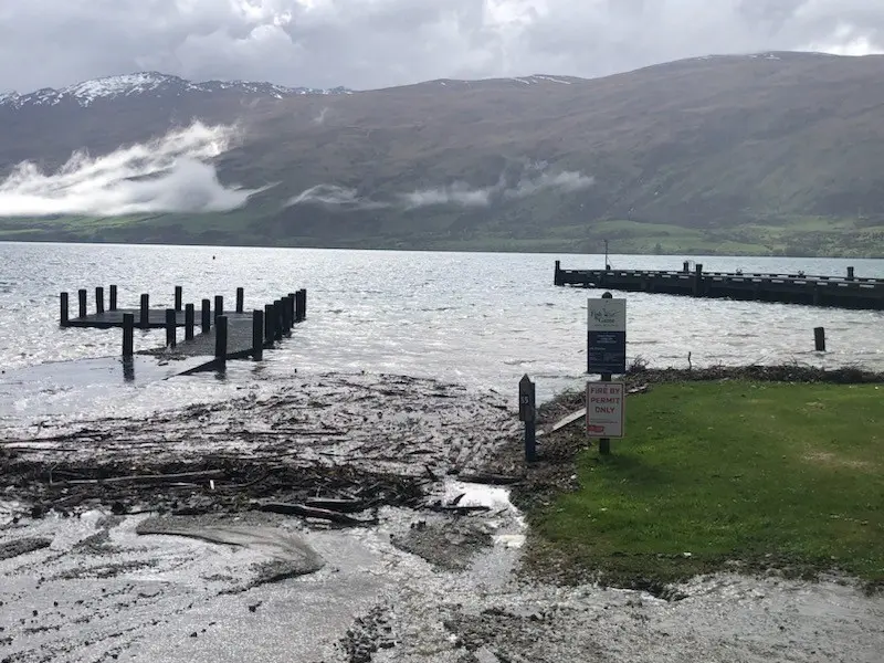
As sandbags were removed from Queenstown’s CBD today, a huge clean-up of foreshores across the district began to clear the large amounts of driftwood which washed up.
Meanwhile, the Queenstown Lakes District Harbourmaster urged boaties to use ‘‘extreme caution’’ over the long weekend due to the significant amount of debris in lakes.
That included large logs and trees which had washed down from flooded rivers, much of which floated just below the surface and could be difficult to spot.
In terms of roads, the council said the Mt Aspiring Rd, after the Treble Cone turn-off and Paradise Rd north of Glenorchy would both potentially remain closed until next week.
Other roads affected are State Highway 6 between Makarora and Haast, Rees Valley Rd, north of Glenorchy, and Skippers Rd.
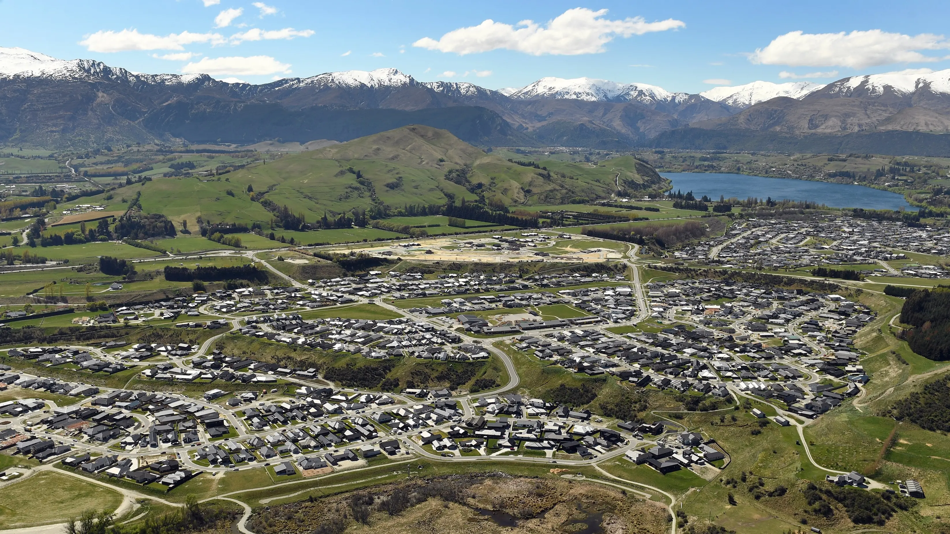
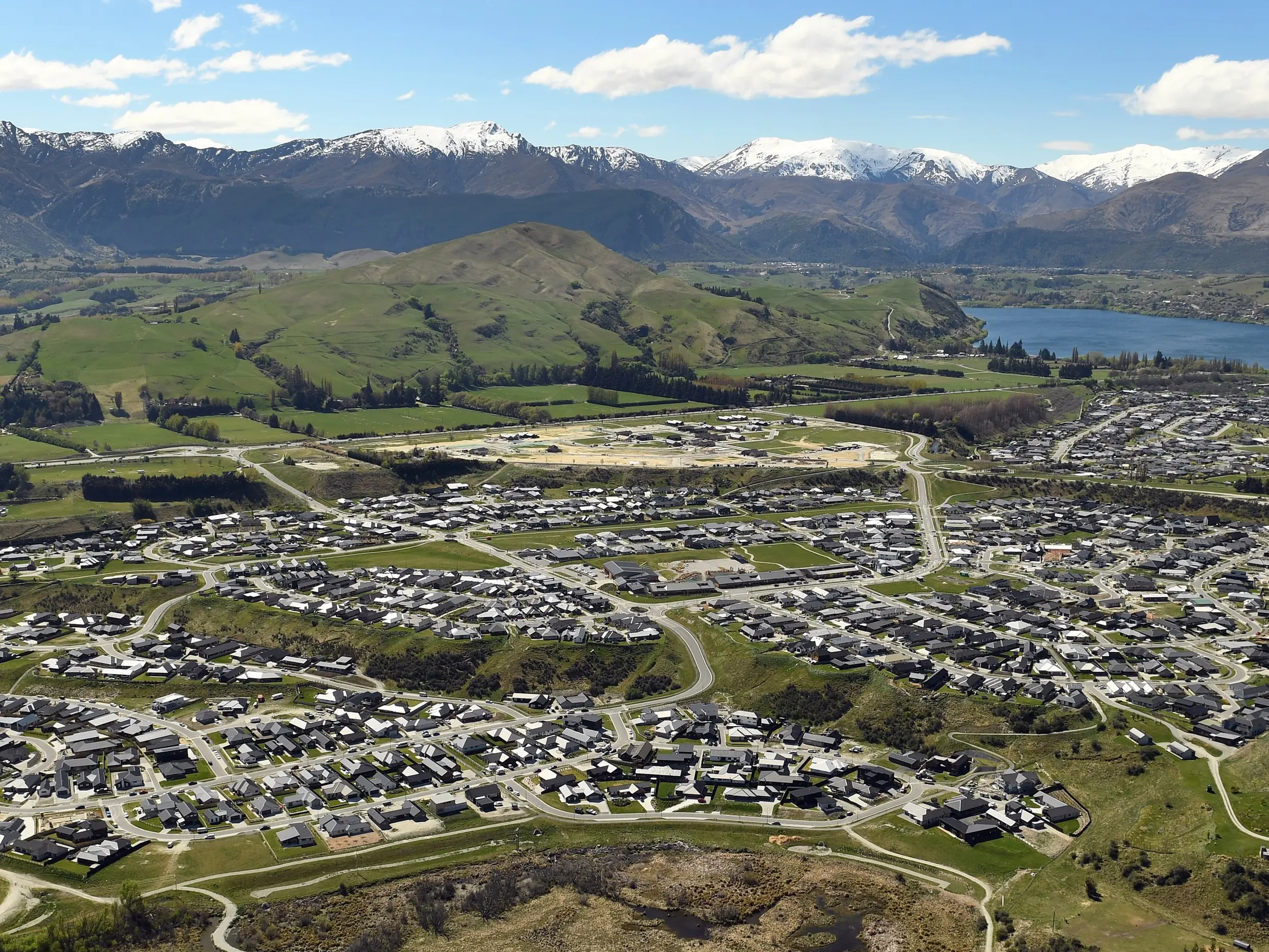
Lakes on flood watch, more wet weather on way
Wakatipu and Wānaka managed to escape the worst of yesterday's wild winds, but remain on flood watch.
In the past 30 days, 523.5mm of rain has been recorded in the Dart River at Paradise, near Glenorchy - 108mm of that was recorded in the 24 hours to 3pm yesterday.
The Otago Regional Council said the Dart River peaked yesterday morning at a flow of 2080cumecs, which was the second-highest flow for the Dart at the Hillocks site since monitoring began in June 1996.
Queenstown climate scientist Dr Jim Salinger said so far this month 130mm of rain had been recorded in the resort, compared with an average of 63mm.
That was on top of last month being the second-wettest September on record since 1968.
The precipitation meant that by 3pm yesterday, Lake Wakatipu at the Glenorchy Lagoon was sitting at 312.289m, above the first flood warning of 311.9m.
The Queenstown Lakes District Council expected the lagoon to peak at 312.6m late last night or early today, likely resulting in localised flooding to the northwest of the township and around the foreshore.
In Queenstown, the council expected the lake would peak just over 311.4m this morning.
That was likely to result in flooding of low-lying areas in Kingston and around Queenstown’s waterfront, while Queenstown Bay stormwater systems were also predicted to start backing up.
Lake Wanaka was forecast to peak at 279.5m this morning. This was expected to cause flooding around the foreshore, but not expected to flow across Ardmore St.
The council warned businesses to remain alert, but said last night no significant impacts were expected.
There were widespread power cuts around the Wakatipu yesterday, affecting almost 1130 customers from Kinloch to the Kawarau Gorge, while the weather bomb also brought Queenstown Airport to a virtual standstill.
By 3pm, 38 flights - 19 each inbound and outbound - of the scheduled 48 services had been cancelled.
Meanwhile, many Queenstown businesses, particularly those around Steamer Wharf and the waterfront, spent yesterday afternoon filling and stacking sandbags as a precautionary measure - the Emergency Operations Centre, set up in tandem with Emergency Management Otago and others, also ensured sandbags were available in Kingston.
Multiple roads were closed, affected by surface flooding, rockfalls and fallen trees.
While the worst might be over, there was still more rain to come.
Dr Salinger said it would be at least Tuesday before the Wakatipu had any reprieve. He estimated another 26mm would fall between tonight and Tuesday, and said Labour Day, at this stage, looked particularly nasty.
Temperatures would also nose-dive again before a "big ... blocking high" finally arrived.
All major rivers in the district peaked yesterday and remain elevated.