
Initial screening will be followed by technical assessments, monitoring and planning for the areas at greatest risk.
The assessment of the stretch of coast covered by the Dunedin City Council is expected to influence future work carried out at priority sites.
Challenges include high groundwater levels in well-populated South Dunedin, protecting the built-up area at St Clair and adapting to erosion near the old landfill under Kettle and Marlow Parks.
Screening has started and is due to be completed early next year.
Another report expected to influence the way the coast from St Clair to St Kilda is managed in the decades ahead is to be considered by the Saddle Hill Community Board this week.
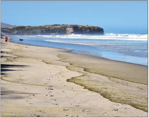
The detailed and technical report by marine and freshwater consultancy eCoast examined the movement of sediment along the southern Otago coast, between Nugget Point and Cape Saunders.
Understanding that system was imperative for helping to shape development of a sound St Clair to St Kilda coastal plan, the authors said.
Sediment predominantly moved south to north and conditions tended to be more volatile at the northern end, by Dunedin.
The consultancy recommended surveying the sea floor beside the coast between St Clair and Lawyers Head.
A high-resolution depiction of reefs and rocky platforms around the St Clair headland could also be created.


