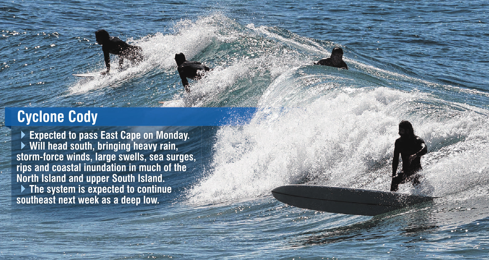
MetService meteorologist Stephen Glassey said the cyclone was forecast to pass near East Cape on Monday, and slowly move south.
If the projected path of Cody was correct, then gale to storm-force winds were expected to affect a large portion of the northern and eastern North Island and the upper South Island, resulting in large easterly swells, significant sea surges, rips and coastal inundation about exposed eastern coastlines.
The cyclone would also be accompanied by a tropical air mass bringing heavy rain to many parts of central and northern New Zealand, and potentially torrential rain for the east of the North Island.
While the forecast posed hazardous conditions which would deter people from going to the beach in those areas, Otago would be relatively unscathed, aside from some rain and 2m swells, he said.
‘‘It looks like there will be some decent northeast swells coming into Dunedin and the rest of the Otago coastline. They might rise to about 2m on Tuesday and Wednesday.
‘‘We’ve got a large area of gale-force winds around the cyclone, and over time those winds on the ocean’s surface will start generating waves.
‘‘Over a longer period, further south they will start turning into swells.’’
While conditions would be dangerous for swimmers in the North Island, Surf Life Saving Otago search and rescue co-ordinator Max Corboy said it would be safe in the South as long as people stayed between the flags.
Mr Glassey said there was still some uncertainty regarding the actual track of Cyclone Cody, and the area that was going to be most impacted by the system and even small changes in the track might mean impacts could vary from place to place.
‘‘Expert meteorologists are closely monitoring the situation and people are advised to stay up-to-date with latest severe weather watches or warnings.’’


