PHOTO
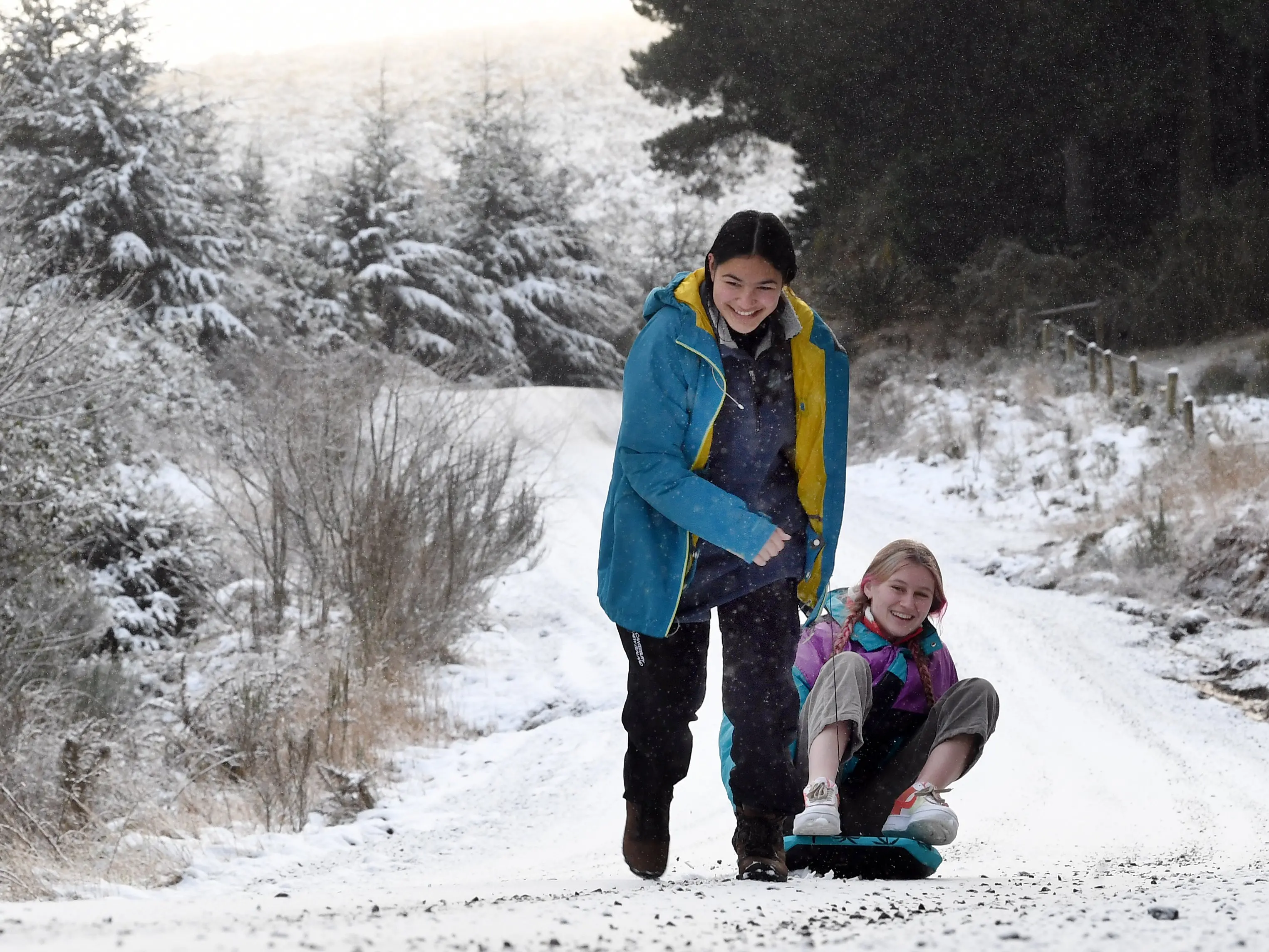
Keep those winter woollies within reach — the snowy start to the week may have melted but frosts and chilly temperatures are expected to keep their grip on the southern region until Sunday.
MetService meteorologist Dan Corrigan said it was likely to be the coldest week of the year for some.
"Most of Aotearoa can expect settled weather on Wednesday and Thursday aside from showers affecting the top of the country and a couple along the east coasts, though the real kicker is how cold it’s going to be."
Most places in the South Island looked to remain in single-digit temperatures until the weekend, he said.
Severe frosts are expected across the southern region this morning, followed by evening cloud, light winds and a shower or two along coastal Otago and Southland.
MetService weather stations show many southern areas recording sub-zero temperatures around 7.15 this morning, including Dunedin Airport at -4degC.
All southern highways were open but local councils and Waka Kotahi were urging caution on roads.
The frosts are expected to continue everywhere except the Dunedin area tomorrow and will be followed by some morning drizzle and light winds.
On Friday morning, there will be more frosts around the region and Dunedin will reach double-digit temperatures for the first time this week.
And on Saturday and Sunday, the morning frosts will continue everywhere in the southern region except Dunedin.
The rest of the region should reach double-digit temperatures again on Sunday, which is forecast to be fine and sunny with light winds.