PHOTO
Fire and Emergency New Zealand is shuffling firefighters around the South Island, with a looming heatwave expected to put extra pressure on already exhausted personnel.
A total fire ban has been in place for some time.
Despite that, several major fires have flared up across Otago and Southland in recent days.
No relief is in sight.
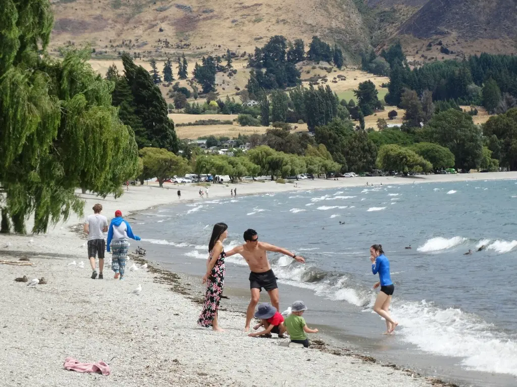
Temperatures are expected to climb into the 30s from Friday.
Monday is expected to be the hottest day, with Alexandra and Cromwell predicted to hit 35degC, Wanaka 34degC, and Queenstown 31degC.
Temperatures in Dunedin, Invercargill, Oamaru and Balclutha are expected to reach at least the high 20s.
''Some of our guys are getting quite tired, so we are putting plans in place to have cover for all our personnel,'' principal rural fire officer Graeme Still said.
''We are at a high state of readiness and we are making sure we have the right number of people in the right places to make sure we can deal with anything.''
Mr Still feared people had become complacent during last year's soggy summer and were not taking proper fire-safety precautions this summer.
''I can't work out, for example, why someone would use a grinder,'' Mr Still said.
''Our message is that it is extremely dry, and it does not take much to start a fire ... and next week it is going to be worse.''
MetService forecaster Tom Adams said heatwave conditions - in which the daily maximum temperature is higher than the average maximum by at least 5degC for five consecutive days - were looming.
''We're going to break records for January,'' Mr Adams said.
Climate scientist Jim Salinger said if the average temperature for the month slides up just half a degree it may be the hottest month in recorded history.
The national average January temperature is 17.1degC.
Before the coming heatwave the average was sitting at 19.3degC, making it the hottest on record.
However, relief may be at hand, with cooling temperatures towards the end of next week and several days of much-needed rain forecast.
-Additional reporting by NZME