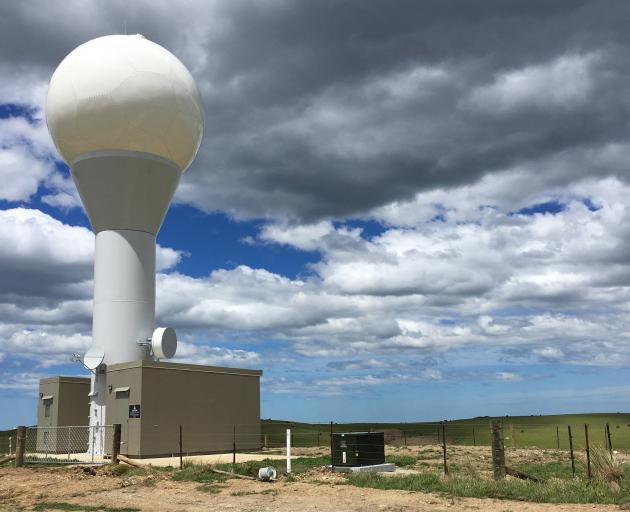
Otago Regional Council natural hazards manager Jean-Luc Payan said the $2.8million radar gave council staff confidence that Otago would be all right in terms of rainfall levels and flood risks during the one-in-100 year rainfall event which caused chaos and millions of dollars worth of damage across Canterbury.
The facility uses the latest dual-polarisation technologies to distinguish between different types of precipitation, such as rain, hail and snow.
This, along with precise estimates of accumulated rainfall derived from the radar data, was designed to help forecasters, hydrologists and emergency managers better understand weather impacts on communities, river catchments and infrastructure.
"Our duty flood officers kept a close eye on rainfall and river data, as rain inundated Canterbury and was approaching warning levels over parts of Otago," he said.
"While we saw the Taieri and Pomahaka River flows increase, we had much more confidence about the level of rain falling over Otago, thanks to the new radar near Hindon."
Dr Payan said the rain radar did not predict rainfall amounts, but it did support other data inputs to give staff a much clearer and more detailed picture about how much rain was falling in the region, and where it was falling — particularly for coastal rainfall events.
MetService severe weather services manager Elke Louw said "real-time information" was particularly important during high-impact weather events, and the Otago radar provided meteorologists with added confidence about the distribution of rainfall across eastern areas of the South Island.
The rainfall event was one of the first major use cases for the new radar, which became operational in December last year.
The radar is the first in Otago, and the newest in the MetService’s national 10-facility network.


