PHOTO
What lies beneath South Dunedin has intrigued many for decades.
Today, 2700 homes are constructed on land in the area, reclaimed from coastal wetlands and dunes, that is less than 50cm above sea level.
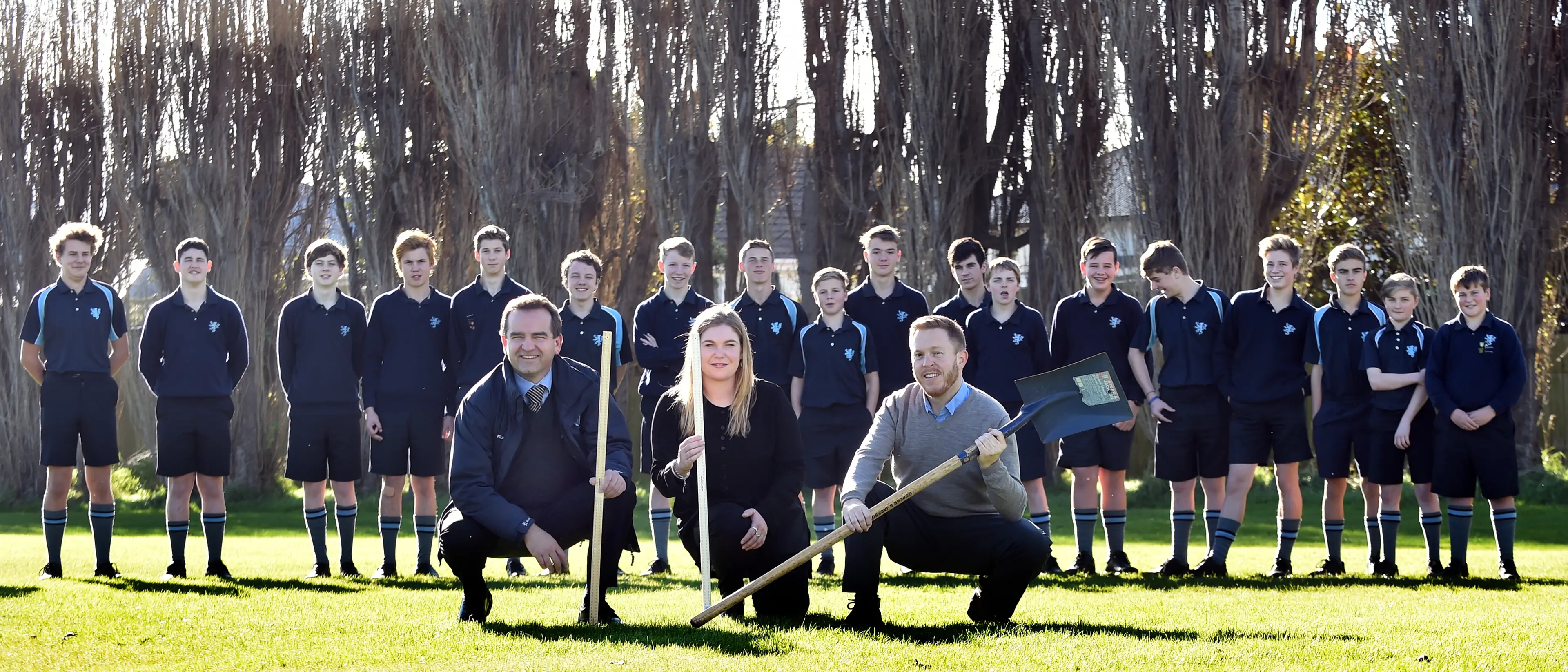
Now, geography pupils at Bayfield and King's High School are about to find out what is beneath the land on which they stand.
As part of the Government's Curious Minds programme, year 10 geography pupils from both schools will work with the Otago Regional Council, the New Zealand International Science Festival, GNS Science and the University of Otago to learn about the variability of groundwater levels and soil composition beneath their schools.
Groundwater monitoring bores will be drilled up to 4m deep at both schools in mid-June, and sensors will be placed inside the holes to monitor water levels.
Pupils will analyse data from the sensors and study soil and sedimentary layers from their bore holes to see their composition and compare them to what was known about the historical landscape.
King's High School social sciences head Simon Cushen said the project aimed to whet pupils' appetites for natural science by giving them an opportunity for hands-on learning about the geography and hydrology of South Dunedin.
ORC engineering, hazards, and science director Gavin Palmer said the low level of South Dunedin, along with high groundwater levels, meant the area was flood prone. There was also concern the hazard would increase with a rise in sea level.
``Given what we know about South Dunedin, we need to be prepared for adapting to the changing environment over time. Understanding the nature of the landscape South Dunedin is built on is an important step in that process.
``The small bores in the school grounds will provide simple visual cues as to the rise and fall of groundwater and rainfall, and how ocean tides affect these movements.
``We hope by the end of the project they have a greater understanding of what the climatic pressures facing South Dunedin are and how they interact with each other.''
Once the pupils have analysed the data, they would make presentations to family and the school community on their findings.
New Zealand International Science Festival director and project director Dan Hendra, of Dunedin, said it was important pupils and the community understood South Dunedin's changing environment and its effect on the area's geography and hydrology.
``Recent rainfall events mean it's more important than ever that we collectively engage in what is happening directly below our feet,'' Mr Hendra said.
This project is the first step in engaging the community through outreach to affected schools.
``The next step is to build on this through creating an educational exhibition for the 2018 New Zealand International Science Festival, which will outline in greater context the role of climate change in shaping Dunedin's evolution and geology history, and our sustainable occupation of this landscape,'' Mr Hendra said.