
MetService has this morning updated its weather alerts to include a heavy snow watch for inland Dunedin, and an orange heavy rain warning for the city.
Between 70mm and 90mm of rain is forecast for the city between 9pm tonight and 6pm on Saturday.
Dunedin City Council chief executive Sandy Graham said while the city's network was expected to cope with the downpour, staff and contractors were in a state of readiness.
“Our contractors have been out and about clearing mud-tanks and drains in low lying areas, and key staff are meeting regularly today to consider the latest information.
“At this stage there the Dunedin Civil Defence bunker is not activating, and we expect our network will cope with the forecast rain, but we’ll continue to monitor the situation and make further announcements as needed.”
DCC general manager climate and city growth Scott MacLean said they would open a sandbagging station for "anyone feeling anxious or worried".
The sandbagging station will open at 2.30pm Friday at the Dunedin Ice Stadium car park at 101 Victoria Rd, St Kilda.
The MetService warning comes as an active front is moving up the country today, bringing heavy rain and thunderstorms to the top of the South Island and much of the upper North Island.
MetService meteorologist Lewis Ferris said a deep, complex low would move across the upper South Island from the west, directing a strong cold southwest flow across the southern regions.
"So that rain coming across the country swirls around and makes landfall again near Dunedin and North Otago.
"It’s kind of like a spinning top."
MetService this morning issued fresh weather alerts, including an orange heavy rain warning for Dunedin and Clutha, for 21 hours from 9pm today.
The forecaster said to expect 70 to 90mm of rain with peak rates of 10 to 15mm/h, mainly during Saturday afternoon.
Streams and rivers may rise rapidly. Surface flooding, slips, and difficult driving conditions are also possible.
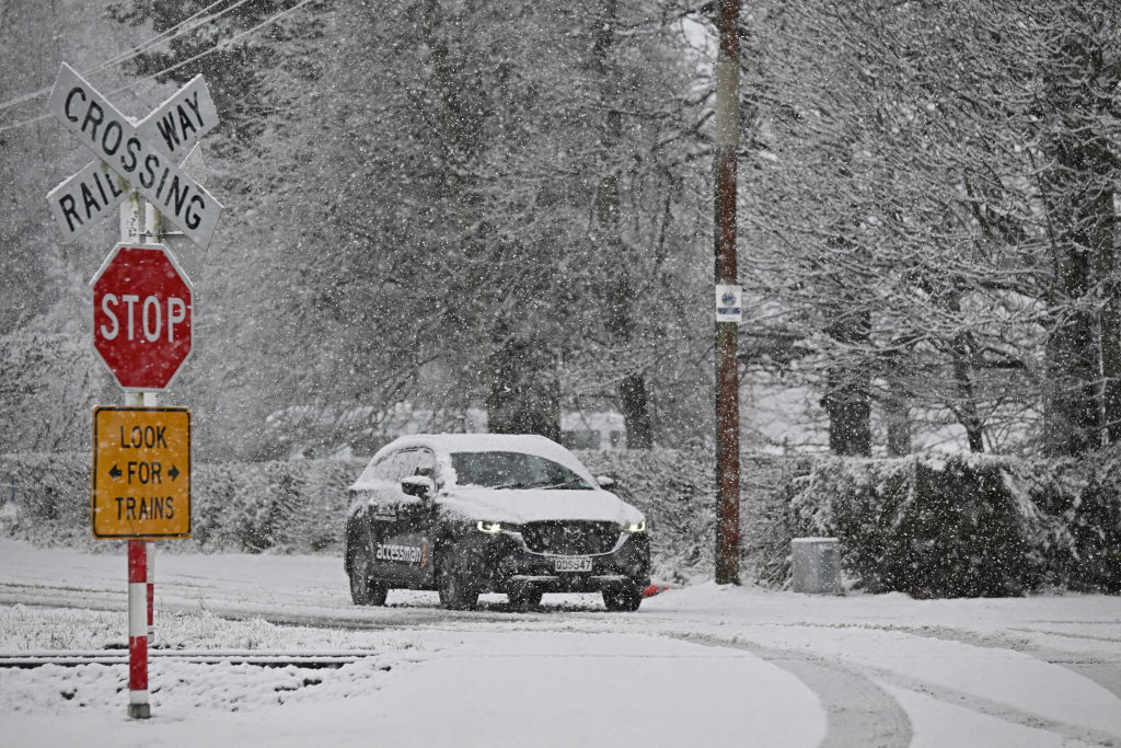
There is also a heavy snow watch for inland Dunedin, Clutha, Central Otago, and Southland north of Lumsden, for nine hours from 3am on Saturday.
Heavy rain watches have been issued for North Otago, for 12 hours from 3pm today, and for Southland about and east of Mossburn, for 15 hours from midnight today.
Road snowfall warnings have been issued for the Lindis Pass (State Highway 8), the Crown Range Road and the Milford Road (SH94) overnight and into Saturday.
Mr Ferris earlier said the forecast snow would be good for the southern skifields, but not so good for driving conditions on higher roads.
It would also be cold, with temperatures in many places failing to reach double digits on Saturday, he said.
"At this stage, it’s unlikely to fall in the towns, but it’s the kind of snow set-up which can bring quite large amounts of snow.
"We’ve put out a watch for heavy snow because of the lead time — we don’t have, right now, a firm idea of where, when and how much snow will fall."
"Right now, it’s about being aware of that potential for rain and snow, and again, it’s one of those situations where it’s rain pushing on shore and it looks at this point quite persistent.
"It’s the start of the school holidays, so just maybe avoid making plans to get away on Friday evening or Saturday.
"If you were trying to drive inland, you wouldn’t want to be doing that anyway with that potential for snow around some of those high roads, and the heavy rain which will make for difficult driving conditions."
An NZ Transport Agency Waka Kotahi spokeswoman said State Highway 6 had reopened between Haast and Makarora after trees came down earlier in the week, but more weather was on the way, which might cause further disruption on South Island roads over the weekend.
She too urged motorists to plan ahead for any possible weather disruptions, especially if travelling to areas that were unfamiliar.
MetService has forecast the heavy rain to ease tomorrow afternoon, and on Sunday, cloud would clear and become fine.


