By long tradition, if you are first on the scene, you have naming rights.
It’s a circumstance now hard to imagine, as we go about a world named and named again, every feature noted, signposted and mapped.
But the earliest explorers of the long bright islands that stretch south from the 34th parallel were encountering lands that lay unknown and of which no words had ever been spoken — of neither its coasts, its mountains nor its rivers.
How might you speak of such a place?
It’s recorded that the kaihautū, the captain, of the first waka to sail down the east coast of what would come to be know as Te Waipounamu noted the sort of features anyone might when assessing the qualities of a potential new homeland.
Further south again, after he had erected eel weirs at Canterbury’s river mouths, the area became known as Kā Poupou-a-Rakihouia, the posts of Te Rakihouia.
The intrepid Te Rakihouia was navigating the coast in the waka hourua, double-hulled craft, Uruao, at the request of his father Rākaihautū. The pair had split up after landing at Boulder Beach in Whakatū Nelson, Rākaihautū heading south overland, while Te Rakihouia was tasked with scouting the seaward path.
Now, centuries later, there is an addendum to Te Rakihouia’s work of naming.
His voyage of exploration is being remembered again as his name is attached to the Southeast Marine Protection Network.
The network has been christened Te Au Roa o Te Rakihouia, the name encompassing the network’s new marine reserves, which come into effect next month.
In this context, ‘‘au’’ is a wake or current and ‘‘roa’’ means long — the long wake of Te Rakihouia’s waka.
The research into and design of the name was undertaken by noted Ōtākou language practitioners Paulette Tamati-Elliffe and Komene Cassidy in partnership with the Southeast Marine Protection Network governance group — a body incorporating representatives of the three Otago rūnaka and the Department of Conservation Te Papa Atawhai.
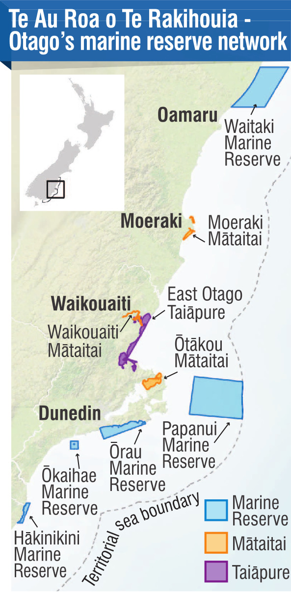
The shape of five has been agreed, while the sixth, Te Umu Kōau, lying off the coast of Karitāne, is in the process of being finalised.
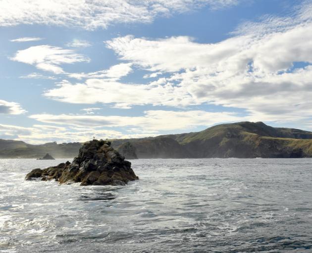
They are dots in the ocean, the biggest of them 168sq km, the Papanui Marine Reserve, sitting east of Muaūpoko Otago Peninsula, the smallest, Ōkaihae Marine Reserve, 5sq km. In all they make up just 4% of the region’s coastal area, but they are expected to have benefits that flow well beyond their borders, the nurseries they represent feeding life into the surrounding waters.
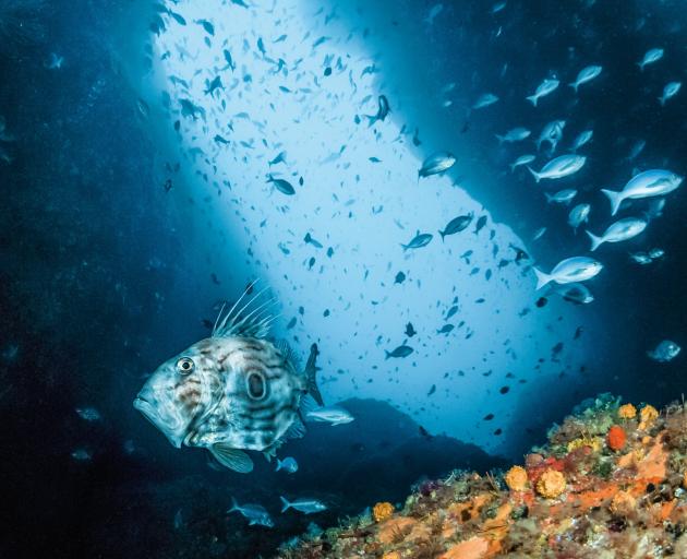
The no-take reserves are designed to protect habitats for headline species such as hoiho/yellow-eyed penguin, toroa/northern royal albatross and pakake/New Zealand sea lion, but also for the sea’s many other treasures, including brittle stars, squat lobster, kōura, shrimps, crabs, sponges, sea squirts and reef fish.
They have been chosen as examples of key ecosystems or environments, from estuarine systems, tidal lagoons, through to rocky reefs, deep canyons, bryozoan thickets and kelp forests.
The unveiling of the new name, Te Au Roa o Te Rakihouia, is a final step in the process of setting up the network and speaks both to the area’s history and the process by which the reserves were created and will be managed.
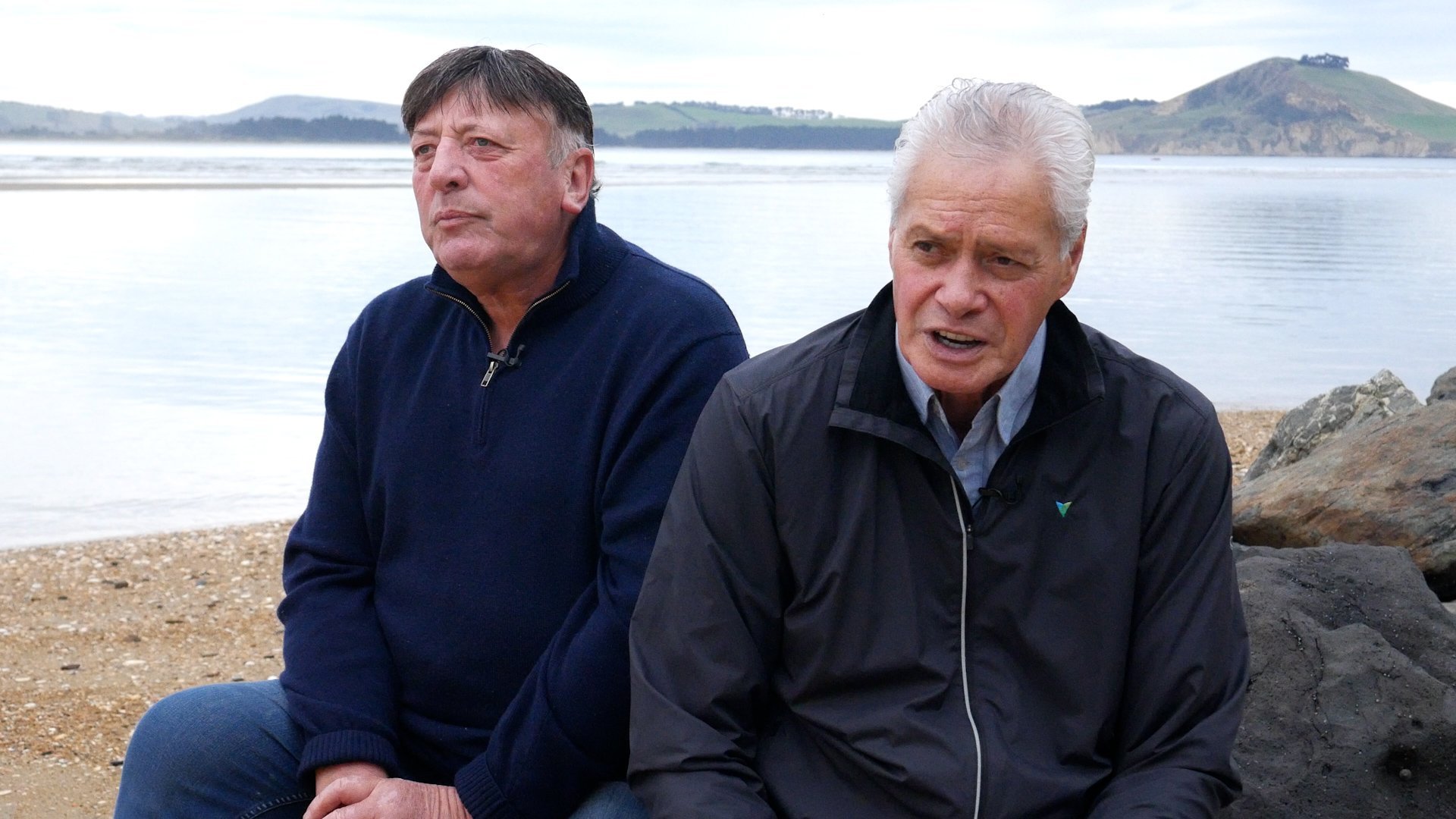
‘‘So, the long current of Te Rakihouia represents the coastal current which comes from the south, up the east coast of the South Island here,’’ Ellison says.
As such, it is both evocative and apposite.
‘‘Te Au Roa, the long current of Rakihouia, is a whole lot more poetic a name, to my mind, to apply to this wonderful project.’’
Higgins likes the sound of it too, allied to the accuracy with which it describes the environment.
‘‘The current that sustains life in the moana off Te Tai o Āraiteuru coast is that Murihuku current,’’ he says. ‘‘And the Murihuku current is a feeder, it supplies the sustenance for all of those wonderful taoka we have that survive and sustain us generationally off this coast.
‘‘It’s really, really important that that feeder current supplies all those nutrients. Whether they are the huge whales that come up and down this coastline, or whether it’s the periwinkles and the cockles and the mussels, they’re all the same, they’re all fed by the sustenance from that current.’’
The Southland or Murihiku current sweeps up the east coast of the Southland Island gathering warmer water from the Tasman and mixing it with cold fresh oxygenated subantarctic water from the Southern Ocean.
The mixing of the two and the different nutrients they carry create the perfect conditions for abundant and diverse sea life. Rakihouia must have thought he had found a new sort of paradise.
‘‘The partnership that we have in relation to these marine reserves with the Department of Conservation is significant to mana whenua. It’s a first within New Zealand in terms of the co-management, working alongside, developing the monitoring and other mahi that goes on,’’ Ellison says.
The timing is also good, Ellison notes, as climate change and warming seas are going to pose further challenges for our coastline and its inhabitants.
We need to be in a position of knowledge to be able to respond, he says.
Longtime champion of Otago’s environment and wildlife Hoani Langsbury agrees — as a younger man his interest was in balancing a surfboard against the coast’s breaking waves, now it’s about bringing a marine ecosystem back into balance.
‘‘The true collaboration between the treaty partners will provide for the best opportunities and outcomes for the marine environment and the community that values it,’’ he says.
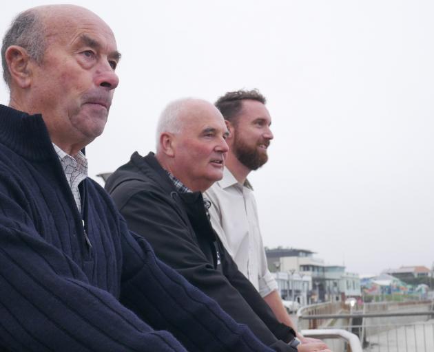
The four men are all part of the governance group that will have an ongoing role with the reserves.
That inclusive approach has been key to the success of the project to date, and will continue to be essential, according to those involved.
‘‘This is an opportunity for this nation to understand that co-management is not a frightening description,’’ Higgins says.
‘‘It’s an opportunity for mana whenua to be involved directly with a crown entity, in this case, Te Papa Atawhai, the Department of Conservation and, of course, Fisheries New Zealand, to ensure that we are real, true treaty partners and that we have the opportunity to do something together that is hugely beneficial for this environment out here, this coastline — that has been left for years not being well managed or cared for.’’
‘‘If we as mana whenua and the people of our nation, our tākata tiriti people, understand the importance of these particular projects we’ve got going on along our coastline, it makes it easier for us to then explain to new immigrants the importance of our takutai moana and our coastline, and what is in these waters that’s important to us,’’ Higgins says. ‘‘Once they understand, they will grow and develop an understanding, just like our young ones are at present.’’
The structures created for the network recognise the connection of people to place, Gabe Davies, operations manager for coastal Otago for Te Papa Atawhai, says.
Mana whenua have a long-standing connection with the coastline, with a place that has fed them for generations, he says.
‘‘It also represents the ability to not only apply western science but also the value that can be added by adding another cultural perspective or way of viewing a marine environment, so bringing that mātauraka to the fore,’’ he says.
Decision-making, planning and implementation will all be done in partnership.
‘‘Ultimately, that bi-cultural perspective will lead to a much healthier moana, because we’re not just applying how we have usually approached marine reserves, we’re also encompassing that generationally deep mātauraka into this place from the people that know this area best.’’
As an example of how that will work in practice, Edward Ellison says alongside the work of monitoring and gathering data, rūnaka will also hold wānanga.
‘‘The purpose is also to retain memory, location, kōrero associated with these places, and build on that going forward for future generations.’’
Those wānanga will be an opportunity to pass on an appreciation for the mokopuna of Takaroa, the grandchildren of Takaroa, god of the sea, Higgins says.
‘‘Our children and their children will understand then the importance of those generationally important areas and the species that are there.’’
The new reserves will sit alongside areas already afforded some protection by mataitai, within the takiwā of Ōtākou and Te Rūnanga o Moeraki, and the taiāpure that sits within the takiwā of Kāti Huirapa Rūnaka ki Puketeraki.
One management philosophy doesn’t fit all, Davies says, neither one tool nor one approach.
‘‘This partnership also brings that to life.’’
Among possible outcomes, it is hoped the reserves, small though they are, will provide improved food resources for wildlife known to be struggling, such as the coast’s penguins, Langsbury says.
‘‘We are the wildlife capital of New Zealand,’’ he points out.
Over time, the reserves will only enhance that reputation, especially for locals.
‘‘What it will provide them with is the ability to appreciate the abundance that Takaroa provides, without having to travel to the Poor Knights or other locations in Aotearoa. In a few years’ time, that will be on our doorstep.’’
When Rākaihautū and Te Rakihouia arrived in Te Waipounamu they did so armed with the deep empirical knowledge of their people.
Rākaihautū is said to have started his voyage of discovery in a place called Te Patunuioāio, literally translated as ‘‘the great conflict that disturbed the peace’’, somewhere in Eastern Polynesia, Paulette Tamati-Elliffe and Komene Cassidy write in their research paper.
He was given his sailing instructions by his father-in-law, Matiti, who also instructed Rākaihautū on how to use the knowledge of ‘‘Te Tautari Nui o Matariki’’ to follow the stars that would guide them south.
The stars, the sea currents, whale migration routes, and knowledge of sea bird migration routes would all have played a role in safely navigating the ocean.
Centuries on, as Te Rakihouia raises his sail again off the Otago coast, a similarly rich mix of mātauranga is poised to chart a new path forward once more.
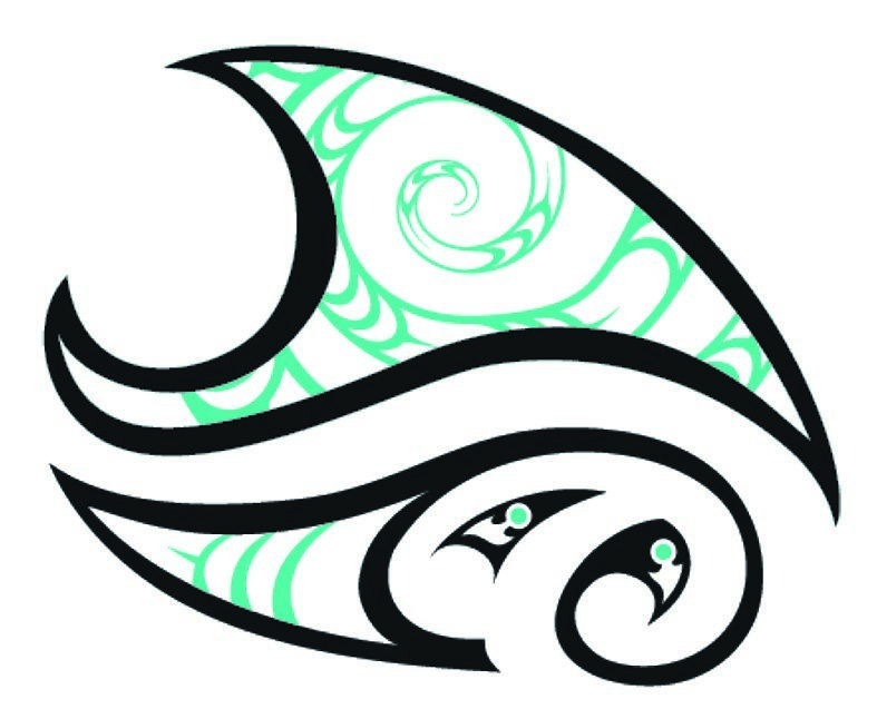
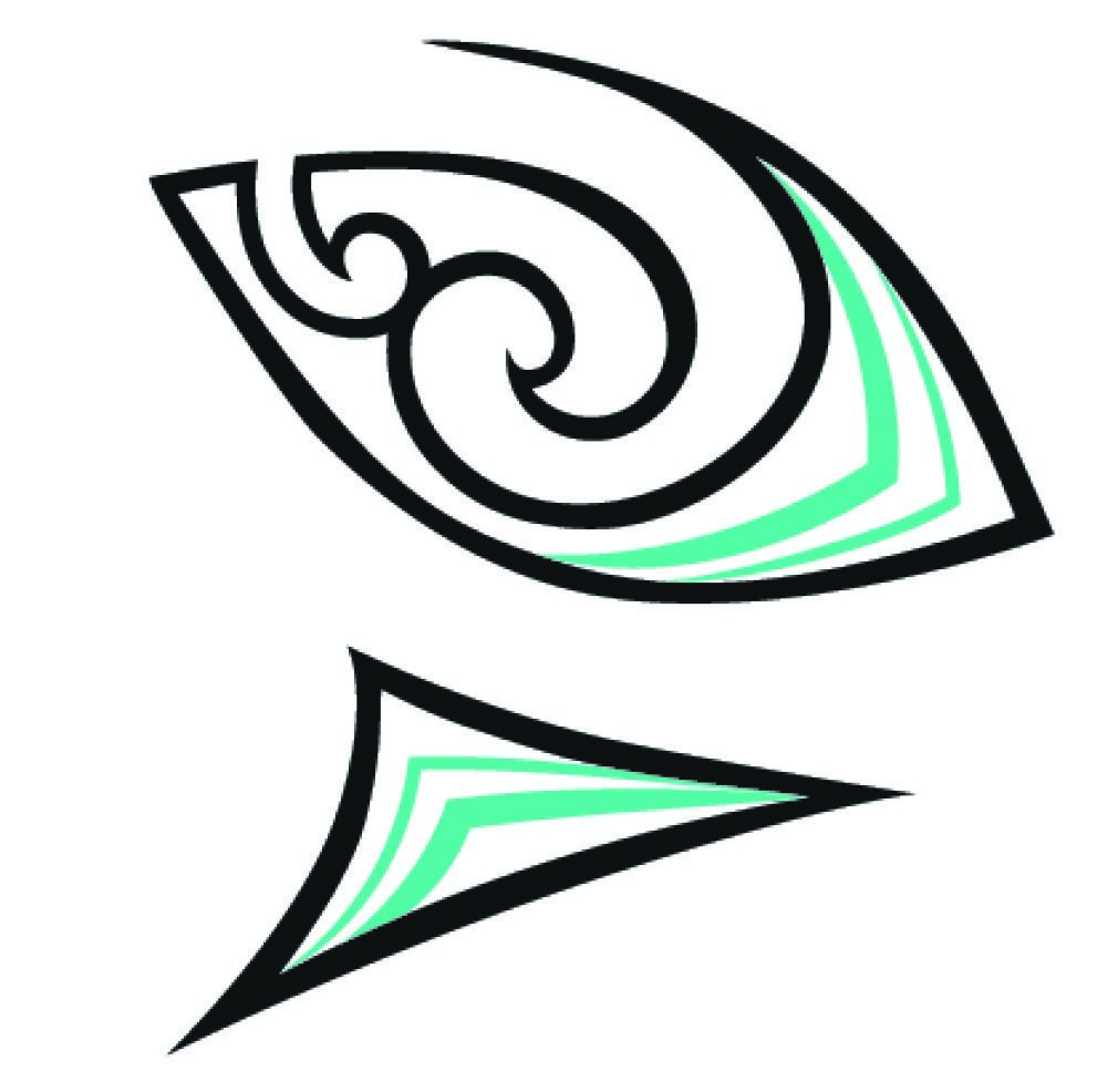
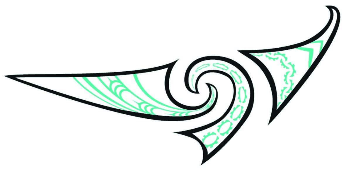
Design work for Te Au Roa o Te Rakihouia is by local artist
Tui Johnson, and ties into the qualities of each reserve.
The reserves
Design work for Te Au Roa o Te Rakihouia is by local artist Tui Johnson, and ties into the qualities of each reserve.