
PHOTO
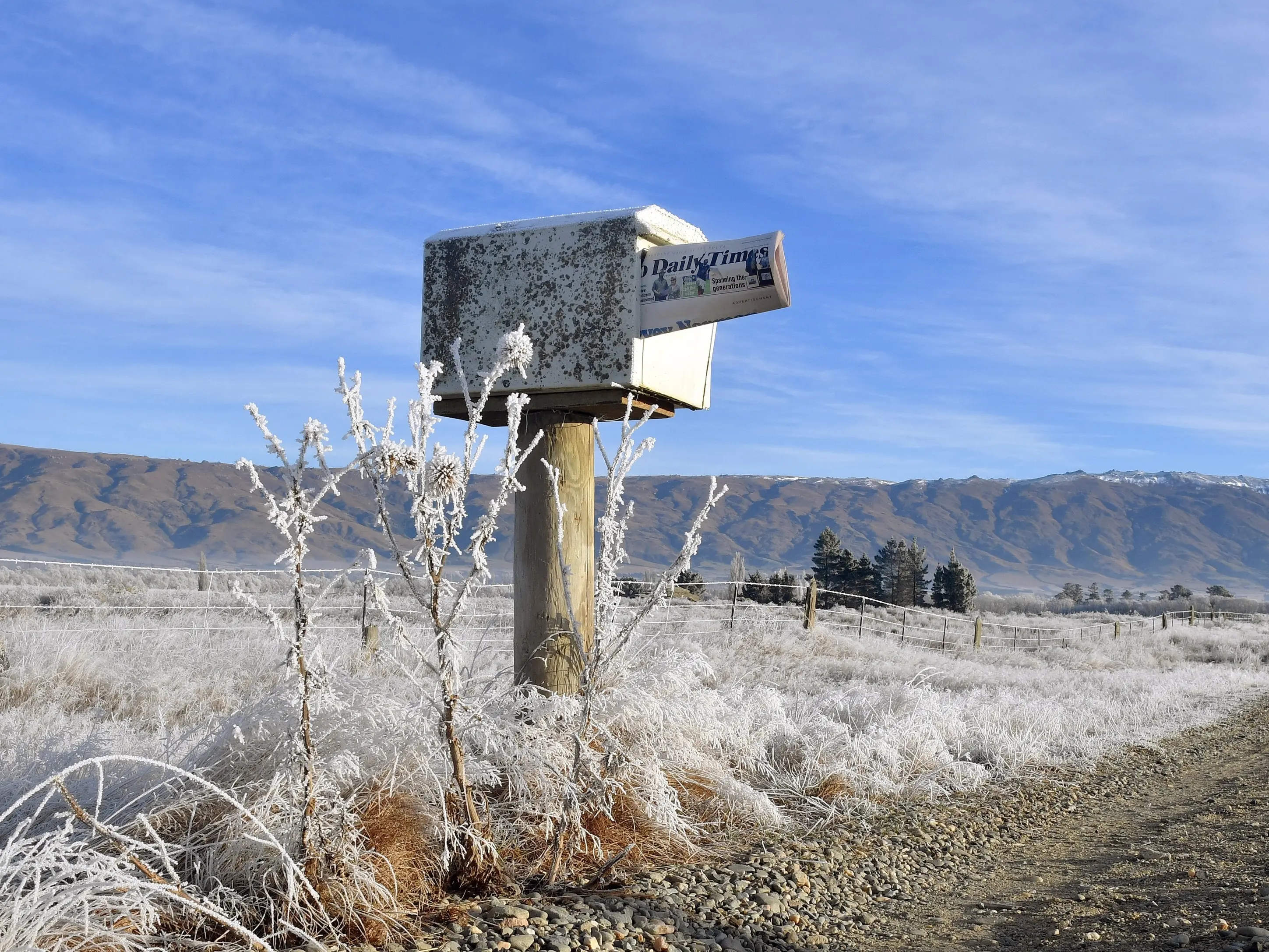
It has been a long, wet and snowy week, but Mother Nature appears to be making up for it with a clear and sunny long Matariki weekend.
MetService meteorologist Alanna Burrows said a large ridge of high pressure was building over the Tasman Sea and would start pushing on to the South Island today.
‘‘On Friday, the winds turn a bit more southwesterly and that really protects the region from the showers.
‘‘And that, combined with the high pressure, is bringing you this nice settled weather for the long weekend.
‘‘It’s kind of a protective shield ... shielding away all of that bad weather you’ve been having.’’
While most of Otago and Southland would have relatively clear skies today, it would take until noon tomorrow before the skies cleared in Dunedin — just in time for the Matariki celebrations at Forsyth Barr Stadium.
The ‘‘protective shield’’ was expected to last across the region for the entire long weekend, as well as much of next week. However, she urged people to take extra care when driving around the southern regions over the long weekend, because temperatures would drop below zero inland and daily highs would struggle to reach double digits.
It meant frost and black ice would affect the roads.
Temperatures will drop as low as -6˚C and only reach a high of about 7˚C in Central Otago, Queenstown, Wānaka, Balclutha and Gore.
Coastal areas such as Dunedin, Oamaru and Invercargill will be marginally warmer, dropping to about 0˚C and reaching highs of about 10˚C.
‘‘You’re going to see those colder temperatures because you’ve got those clear skies at night,’’ Ms Burrows said.
‘‘But then that also means that you have a good chance of looking at the stars, which is a nice part of this weekend.’’