
MetService issued new snow warnings for alpine passes in the South lsland late on Sunday morning, including up to 15cm of snow for the Milford Road (State Highway 94). The Crown Range and alpine passes in Canterbury would also get some snow.
A warning is in place for SH94 from 2pm on Sunday until 2pm on Monday. Between 10cm to 15cm of snow may accumulate on the road above 800m, with lesser amounts down to 600m.
Snow was expected to affect the major state highway throughout the week.
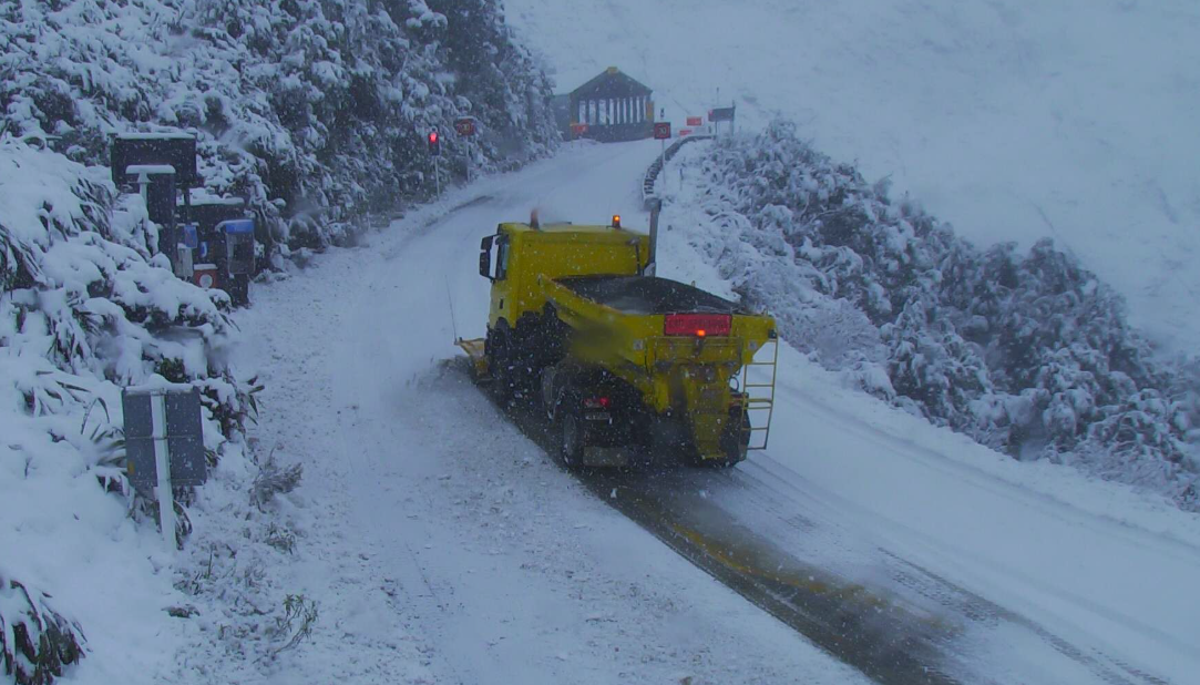
The Milford Road reopened this morning after closing mid-afternoon yesterday, after heavier than expected snowfall.
But with more heavy snow forecast to arrive from early this afternoon, Milford Road Alliance said SH94 would close between East Gate (Hollyford) to Donne River (Westgate) at 2pm.
There may be limited reopening of the road on Monday - possibly at noon if the snow eased, the road was cleared and the avalanche hazard was manageable, it said.
"Heavy snow overnight and Monday morning may impact road conditions and delay reopening till around midday or early afternoon."
The road would close again about 5pm on Monday, as the next heavy snowfall was forecast overnight.
Forecast for the Homer Tunnel area:
Sunday: Snow to 600m in the afternoon.
Monday: Heavy snow to 600m, easing to light showers to 800m.
Tuesday: Heavy snow to 500m, clearing afternoon.
Wednesday: Fine then possible snow showers.
Thursday: Heavy rain and possible thunderstorms, possible snow showers at tunnel.
Friday: Heavy rain, snow possible at tunnel.
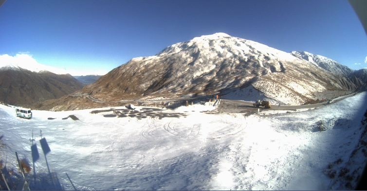
Snow for Crown Range and Canterbury
Steady snow was falling on the Crown Range early on Sunday morning and a spokesman for the Queenstown Lakes District Council said chains must be carried for the road linking Queenstown and Wānaka.
MetService said a brief period of snow was possible for the Crown Range above 700 metres from 6pm today and again late on Monday morning. Up to 1 cm may settle on the alpine pass.
Danseys Pass Road in Central Otago is restricted to 4WD vehicles only from the gates past the Danseys Hotel due to snow.
In Canterbury, snow was expected to affect Porters Pass (SH73) from 11am until 3pm today, with up to 3cm accumulating on the road, and on the Lewis Pass (SH7) where up to 4cm may fall on higher parts of the road between noon and 6pm.

Meanwhile, a strong wind watch has been issued for Dunedin, Clutha, Southland south of Gore, and Stewart Island on Monday from 11am until 6pm.
West to southwest winds may approach severe gale in exposed places, and there was a moderate chance of this being upgraded to a warning.
- ODT Online


