


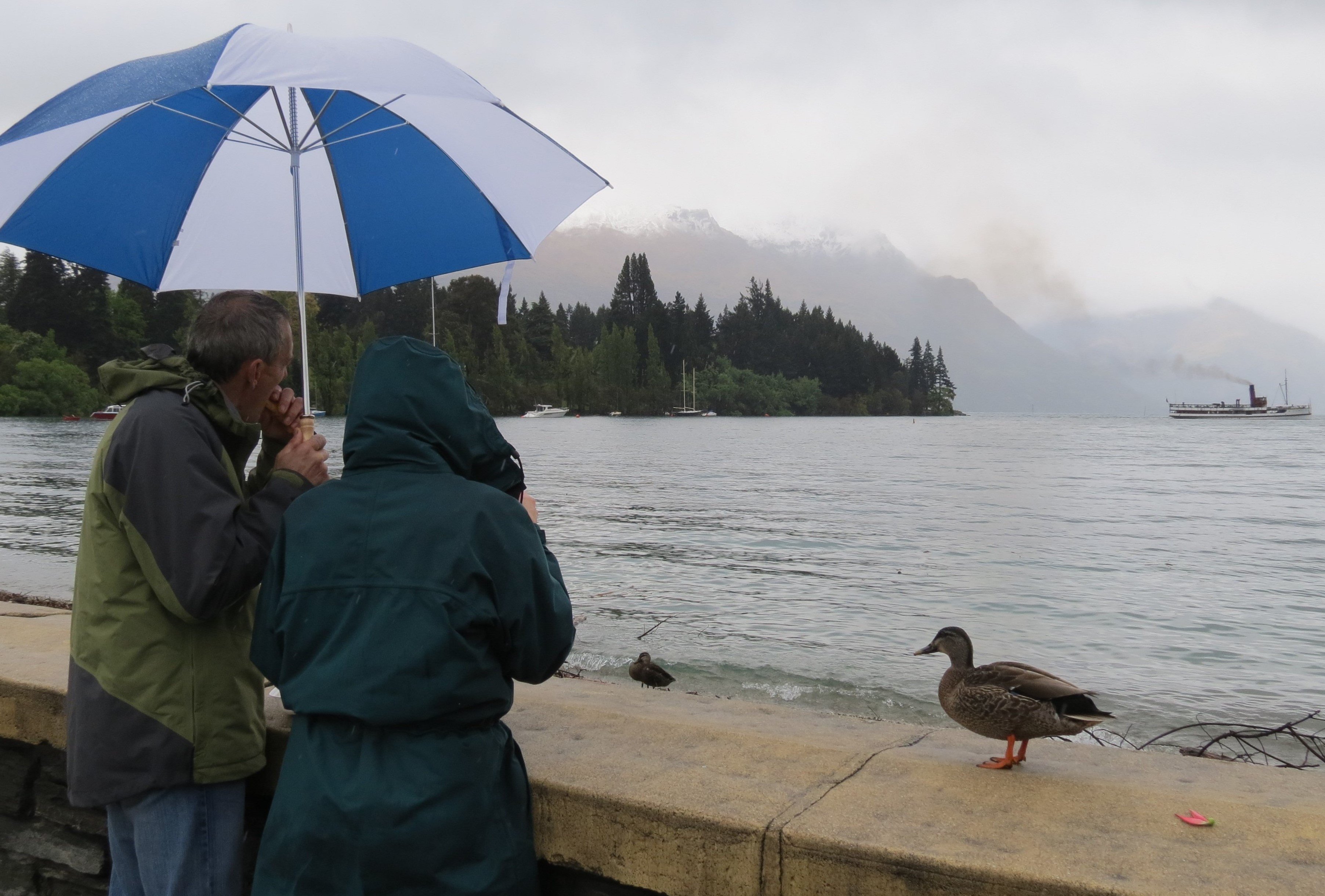
Locally-based climate scientist Jim Salinger says a "whopping" 200mm of rain fell at the airport, more than three times the norm for September, while the town centre was even wetter, with 216mm at the Queenstown Gardens.
That made it the second-wettest start to spring on record since 1968 — the wettest was last September — while only three months, at any time of year, have been wetter since 1968.
With more rain meaning more cloud, temperatures were down by half a degree on the norm for the month over the 1991-2020 period, Salinger says.
The maximum temperature at the airport was 18.2°C, on September 17.
On the upside, the month brought frequent top-ups of snow on the mountains, helping maintain cover on Coronet Peak and The Remarks through to the end of the season — the latter closes on Sunday.
He’s expecting the weather to remain unsettled until around Labour Weekend (October 25-27), after which it should warm up and settle down.
MetService meteorologist Lewis Ferris agrees, expecting the rest of October to bring more of what we’ve had in the past week, with warmer northerly breezes followed by brief spells of rain and cooler air.
"I would say for October, grit your teeth and get through it.
"November is looking more positive in terms of settled weather."


