
PHOTO
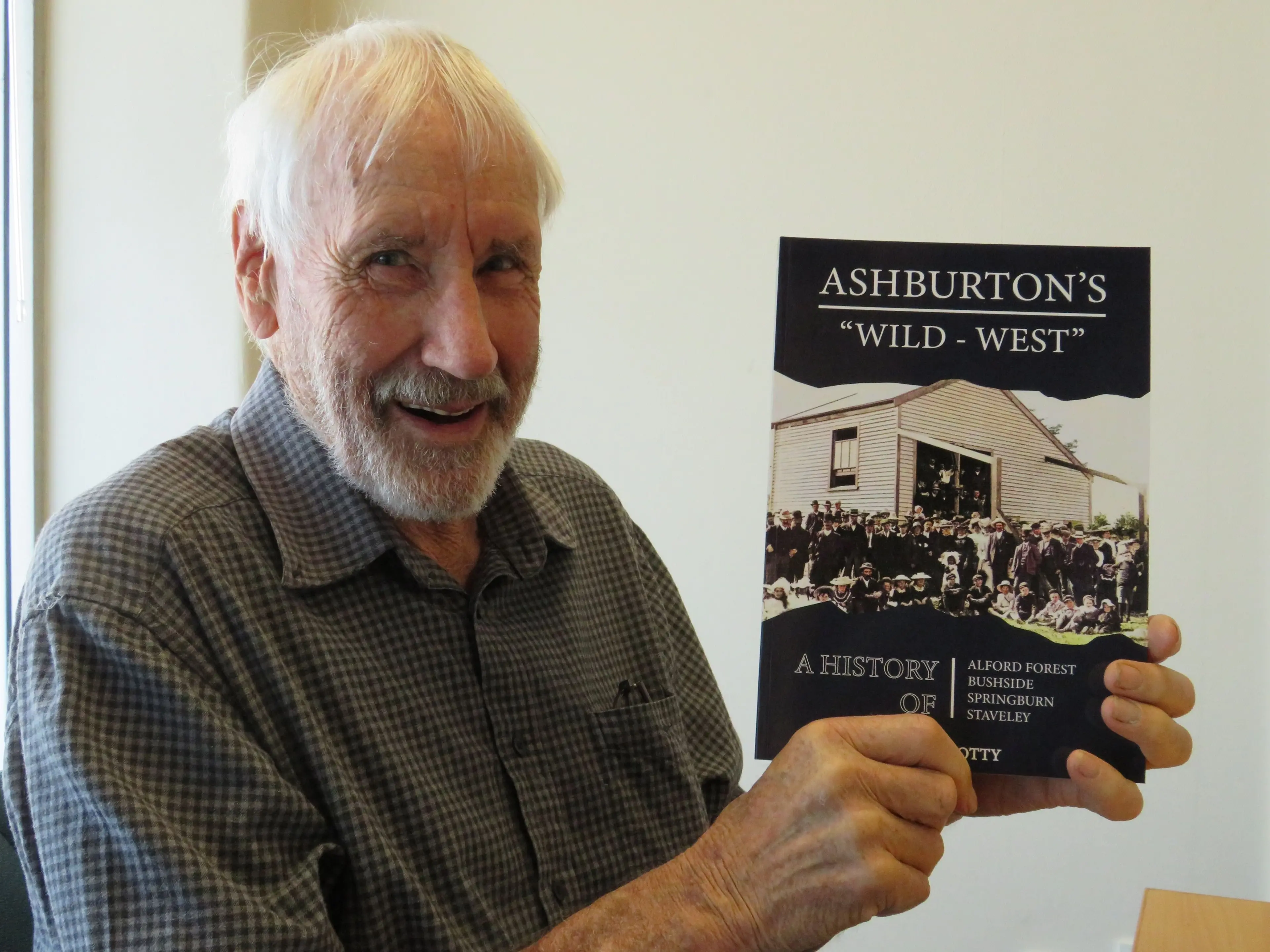
Alan Totty has spent decades thinking about Ashburton’s Wild - West.
It’s the name of his new book, and it covers 170 years of settlement in the Alford Forest / Staveley area and 150 years of its schooling.
The difficult time of those early settlers around the 1880s and the 1930s depression years in the Alford Forest, Bushside, Springburn and Staveley areas.
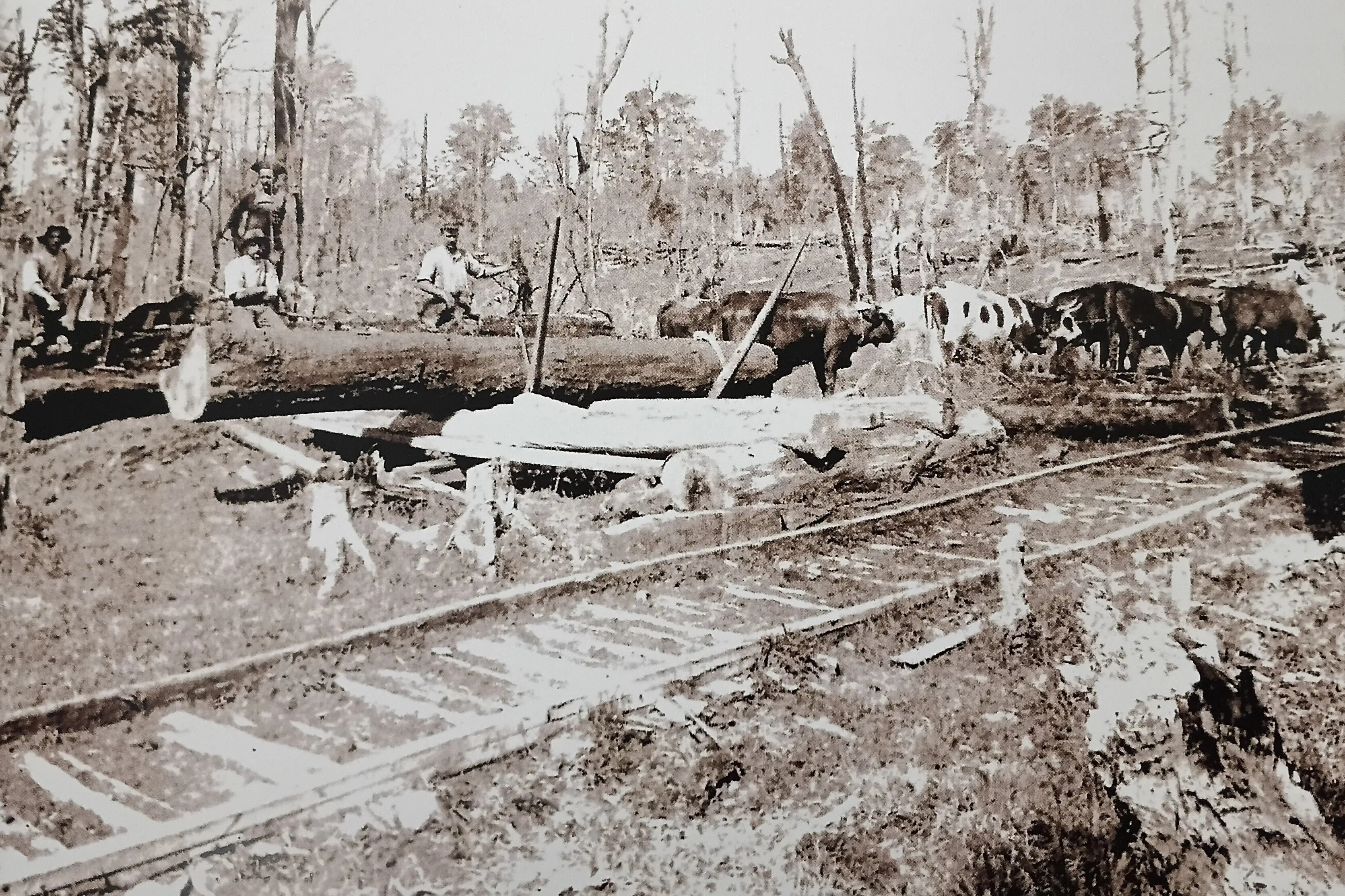
‘‘It was the first area populated in the Ashburton District, so when there was one hotel in Ashburton and one hut, there was probably 12 houses up at Alford Forest and 30 bushmen working in the bush,’’ he says.
‘‘I’ve been wanting to write my version of (the area) for about 50 years,’’ he says.
He did a lot of research and that had more recently turned into a focused effort.
The limited edition, 280-page book is his first - and only - he says.
‘‘I’m very pleased with it and I’ve got my grandson (Sam) to do the cover and my wife (Jane) did the editing.’’
‘‘It’s quite a family thing.’’
Alan, 79, is a third generation Staveley sheep and beef farmer with an interest in the conservation of history and biodiversity.
He has strong roots in the area which is part of the western edge of the Ashburton District.
Alan says anyone tramping nowadays near the Sharplin Falls will appreciate the still wild beauty of the area.
However, the name of his book reflects its early years when for the first decade or so, the nearest police station was in Christchurch.
The law was put in the hands of people of the community.
‘‘It was left to the runholders such as William Peter to monitor and report the theft of timber from Crown Land,’’ he says.
Alford Forest as the name given to both the forest and the adjoining land.
In the 1850s its boundaries were the North Branch to the north and Cave Stream then Bowyers Stream to the south.
The lower boundary was roughly defined by what is now Thompsons Track.
Near the North Branch, a prominent Matai tree, known as Singletree, serviced as an important landmark for travellers crossing the plains.
The name Singletree was sometimes referred to as the area between the North Branch and Taylors Stream.
The first records of permanent settlement in the area date from the mid-1850s.
Early residents included runholders, their workers, and bushmen living along the forest edge.
‘‘They encountered a land with no roading, no banks and no shops,‘‘ he says.
‘‘The first commercial business started was a licensed accommodation house.’’
Alan says it was an ideal spot for ship deserters seeking a fresh start and wanted to put distance between themselves and the authorities.
Others took advantage of the limited law enforcement.
William Peter of Anama Station, supported by other runholders, kept watch on the activities of bushmen and others.
Aa member of the Canterbury Provincial Government he called on the Christchurch authorities to enforce law when necessary.
The community of the 1850s included immigrants from many European countries.
Alford Forest became a home base for the families of musterers, shearers, and waggoners working on nearby high-country stations.
‘‘There were many small 20-acre (eight hectare) sections available to build a house and enough land to provide much of a household’s food.’’
The forest was harvested, or burned to make way for farming.
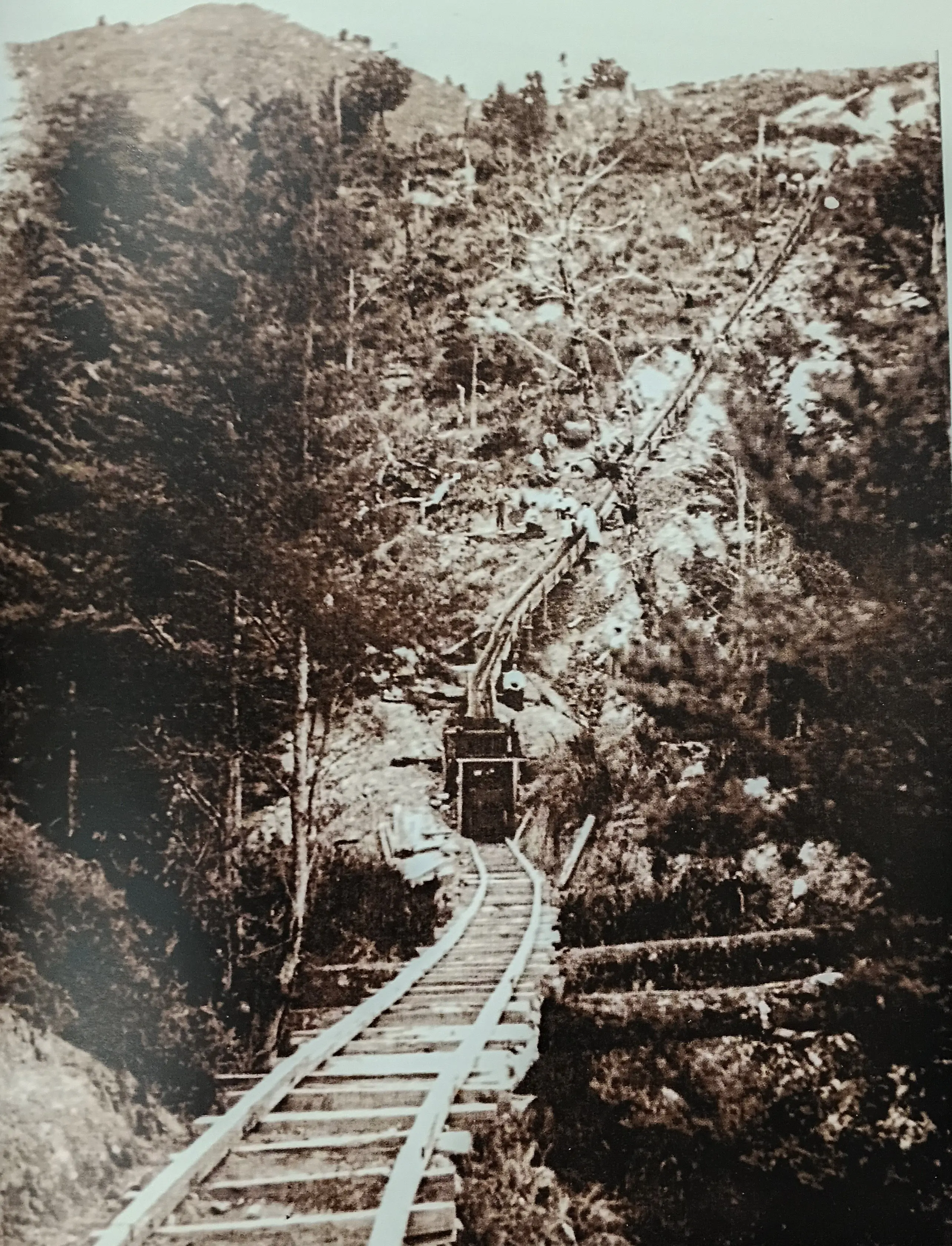
The area offered an abundance of natural resources such as timber from the forest, limestone, coal and and, what were first thought to be diamonds.
‘‘It encouraged many to foresee a brilliant future for the district, as was headlined in the local newspapers from time to time,’’ he says.
‘‘Only farming provided residents with a lasting economic base.’’
Alan is the curator of the Staveley Museum and has been collecting and documenting the district’s history for about 20 years.
He says he wrote the book to correct earlier misconceptions about the history of the district and to offer a balanced record.
‘‘Previous histories written about the Ashburton District have tended to ignore the history of this area concentrating on areas closer to the Ashburton township,’’ he says.
‘‘Hopefully this book will correct that imbalance.’’
There are anecdotes of early residents and reference points for readers seeking a record of local history.
There are the names of resident families prior to 1900 as well as school teachers and committees. Along with the names of those enlisted to World War 1 and II.
‘‘Life for the first residents living in the Upper Ashburton District was hard but compared to the poverty and the harsh climate that many left behind in Britain and Europe, this land provided opportunities through hard work and thrift to enjoy a much more comfortable life,’’ he says.
But it also allowed for greater opportunities for their sons and daughters.
The natural resources in the district provided a new beginning for many settlers who then later moved to Ashburton or further afield.
Alan says the community of the 2020’s is now integrating new residents and their families from all parts of the country.
‘‘Anyone passing through this district, driving along Route 72, can admire the view of the bush covered mountains and the productive farmland.
‘‘They could be excused for not being aware of the many changes to that landscape.
‘‘From beech forest to farming, to depression years and a proliferation of gorse and broom, and then back to productive sheep farms, and now to dairy farms.
‘‘The interpretation panels on the roadside around the district only give a very brief history of the area to the traveller.’’
Alan Totty’s book retails at $50 and is available from Paper Plus Ashburton, and at the Staveley Store.