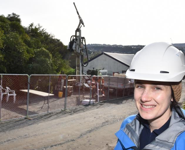
Nine new bores being drilled into residential South Dunedin and reclaimed coastal areas will help scientists improve an increasingly clear picture of the parts of Dunedin most at risk of rising sea levels.
Otago Regional Council natural hazards analyst Dr Sharon Hornblow said the network of monitoring sites throughout Dunedin’s low-lying areas was already thought world-class.
But the increased density of monitoring sites would help to clear up inaccuracies revealed in recent modelling.
The work under way would improve the understanding of how tides and rainfall influenced shallow groundwater levels, how permeable and porous the ground was, and would help to measure the long-term subsidence of the land, she said.
The drilling programme began with only four monitoring sites in 2018. After the drilling work under way, there would be 36, from South Dunedin to the University of Otago near Logan Park.
Already analysis had revealed the greater South Dunedin area was not uniform underground.

Parts of South Dunedin were built where there would have been a river connecting to the sea, Dr Hornblow said.
Settling the area involved a lot of levelling of sand dunes, filling in low-lying areas, and blocking up what used to be the outlet of the waterways in South Dunedin.
Shallow groundwater levels were very shallow in parts of the area, but the groundwater was not evenly spaced.
The ground beneath the suburb was not quite as permeable as researchers had thought in the past, either, she said.
‘‘The environment that has been variously drained and filled in to become the greater South Dunedin area is a result of what used to be some tidal channels and inlets, some lagoons, and little rivers,’’ Dr Hornblow said.
‘‘And people have filled those in over time with sand and with man-made rubble and other things.
‘‘That means that there’s a big ‘complexity’; there’s occasionally channels that have been filled with material, some of the soils are peats and things, that variability is big.
‘‘It’s not just one size fits all.’’
The drilling work began this week behind the St Clair tennis club in Victoria Rd where 10m and 70m bores were drilled.
Measuring devices were installed and geological core samples were taken.
The different depth of the drilling would allow comparisons necessary to map the groundwater below the suburb in more than a two-dimensional way, Dr Hornblow said.
The core samples taken would be analysed by GNS Science as part of its NZSeaRise Project.
The information gathered would also be used by the Dunedin City Council in infrastructure planning, she said.


