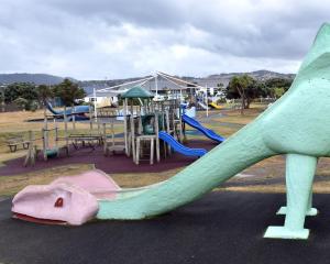
It seems winter is not yet finished with the South.
A severe weather front is expected to bring heavy rain and severe gales to many parts of New Zealand, and snow to low levels in the far south.
A MetService spokesman said the wintry weather was expected to affect much of the country over the weekend and into early next week.
In particular, severe gales are forecast for many places and could make driving hazardous, especially for high sided vehicles, motorcycles and bicycles, while snow is expected down to low levels in the far South.
He said severe weather warnings and/or watches would likely be issued later today, and people are advised to keep up to date with the latest forecasts for their areas - especially those considering travelling for school holidays.
"An active front is forecast to move eastwards across New Zealand over the weekend, preceded by a strong and moist north-to-northwest flow and followed by a strong and cold west-to-southwest flow into early next week.
"This front delivers a period of heavy rain to some western areas, severe gales for many places, and snow to low levels across western and southern parts of the South Island."
On Saturday and Sunday, there was a strong possibility of rain reaching warning amounts, and north-to-northwesterly winds becoming severe in Fiordland, southern Westland and the Canterbury and Otago headwaters.
He said in the east of the South Island, there was high likelihood of severe northwesterly gales for the remainder of Marlborough and Canterbury on Saturday and Sunday, lessening for Central Otago, North Otago and Dunedin on Sunday, and Southland and Clutha on Sunday.
On Monday and Tuesday, snow was forecast to reach low levels in the far south, possibly down to sea level, with heavy snow possible above 200m in Fiordland, Southland and Clutha.
In addition, there is a likelihood of severe gale southwesterlies affecting Fiordland, Southland and Clutha, lessening for the remainder of Otago.
"The combination of strong southwesterly winds and cold air is likely to cause stress to livestock. Also, many higher roads and passes across the South Island are likely to be affected by snow on Monday and Tuesday."
AVALANCHE WARNINGS
Warnings for dangerous avalanche conditions are in place for several alpine areas after recent snow and rain.
Wet slab avalanches large enough to bury or destroy a car were sighted at Aoraki-Mt Cook on Wednesday following up to 50cm of new snow on Tuesday night.
The Avalanche Advisory has issued the alerts for alpine areas in Taranaki and Arthur's Pass, rising to high alpine areas at Aoraki-Mt Cook, Wanaka and Fiordland.
There are heightened avalanche conditions at Tongariro, Ohau, Two Thumbs, Queenstown and Nelson Lakes.
- additional reporting RNZ


