
PHOTO
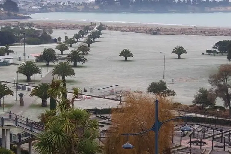
Several cities have reported the coldest night this year as a polar blast continues to hit the country.
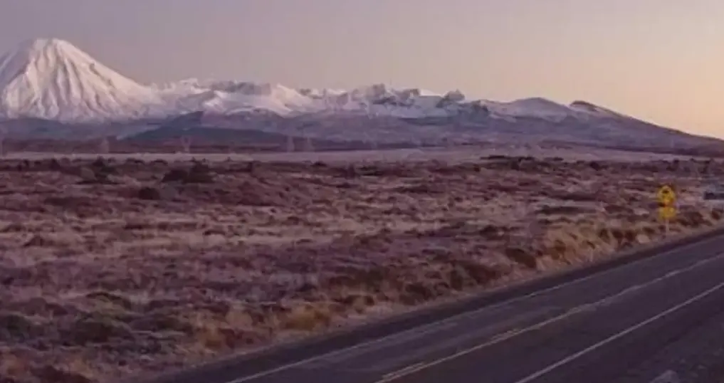
Timaru experienced its coldest August temperature in 46 years of -6.1°C, while the Desert Road (State Highway 1) in the central North Island was the chilliest place in the country overnight on -10°C.
MetService said there as lots of frost on the road, State Highway 1, and the possibility of black ice.
Transpower said New Zealanders used more power on Thursday than ever before, and it expected similar demand on Friday.
Ice warning for Central Otago, Queenstown
In the South, Central Otago with temperatures ranged from -6°C to -1°C on Friday morning.
Light drizzle has begun to fall in the Maniototo and Ida Valley areas. With temperatures continuing to drop, road surfaces may become slippery, a spokeswoman for the Central Otago District Council said.
In the Queenstown Lakes district, MetService has forecast rain which could translate into a risk of ice forming.
Crews were reporting a little bit of snow near Glenorchy-Routeburn Road, a spokesman for the district council said.
In the North Island, Rotorua has also experienced its lowest temperature this year - and for August since 2006 - at -4.4°C, as have Napier and Hastings at -2.6°C. Napier's temperature is the coldest for August, also since 2006.
Temperatures were expected to lift over the next few days, MetService said. Lead meteorologist Alan Bailey said the recent cold patch was almost over.
"We've got a frontal system moving in from the west on Saturday that will mean northerly winds and warmer moist air and some rain, so that'll be the end of the clear skies and light winds, which are the conditions you need for very cold overnight temperatures.
"Into early next week we're not expecting any minimums in the order of what we've seen the last two or three nights."
Overall, he said Friday's conditions would be very similar to Thursday's.
"The North Island's going to be pretty similar, if anything maybe a touch colder, but very similar.
"[But] over in the east, expecting it to be a good deal colder this morning because the cloud cover's dissipated there and moved offshore, so Napier and Hastings going to -4°C, and then Dannevirke and Masterton -5°C, so they'll be a good deal colder."
"In the South Island, not a great deal warmer but a touch warmer."
Of the cities, he said morning commuters in Wellington would be best off.
"Wellington's probably going to be the warmest city around, the Hutt Valley might get down around freezing but in the city itself maybe 4°C or 5°C [during the morning]," he said.
"Auckland's in the low single digits, 1°C or 2°C maybe, and Christchurch going to -3°C."
Temperatures would remain brisk on Saturday morning, but start to warm up.
"We've probably got another [cold day] for parts of the North Island on Saturday morning, but nothing like the last couple of days," he said.
- Additional reporting Allied Media
