
PHOTO
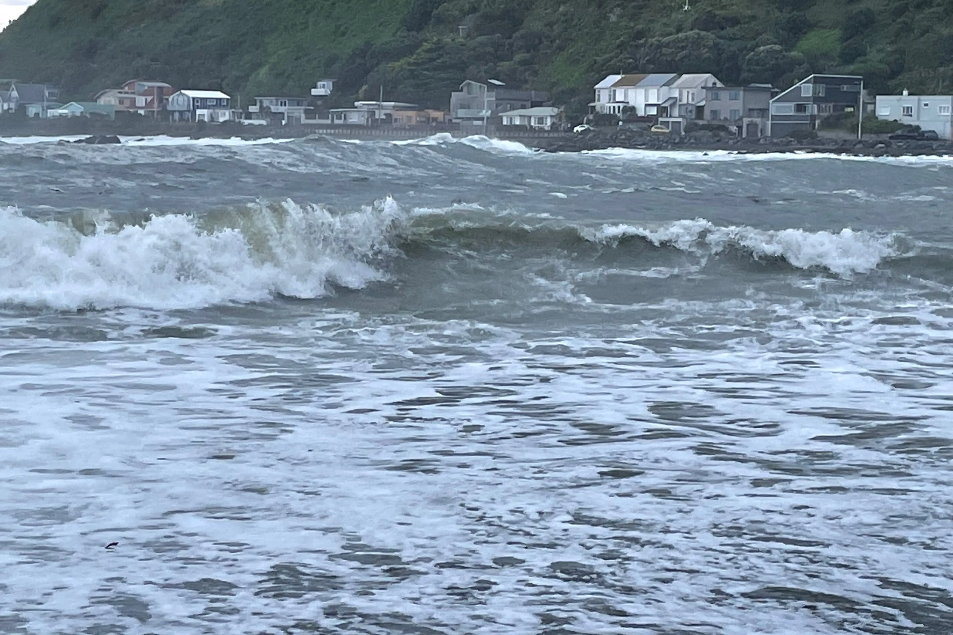
A strong wind warning is in place for the capital on Friday, while parts of the central and northern South Island are being drenched with heavy rain.
MetService said a front impacting parts of the South Island and the Tararua Range had hit on Friday and strong northwesterlies could reach a severe gale in eastern areas from Canterbury all the way up to Hawke's Bay.
Drivers in Canterbury and the West Coast were warned to expect delays as rain and strong winds hit these regions.
MetService has forecast severe westerly gales reaching 90km/h near Arthur's Pass. An area warning for slips and flooding is in place on State Highway 73 from Arthur's Pass to Kumara Junction.
State Highway 7 is down to a single lane with stop/go traffic management in place due to fallen trees near Heslop Creek Bridge, between Rahu Saddle and Springs Junction.
MetService has also issued a strong wind watch for the Canterbury high country from 11am until 9pm on Saturday, saying winds could approach severe gales in some areas.
This could bring damage to trees, powerlines and unsecured structures and make driving difficult for high-sided vehicles and motorcycles.
A road snowfall warning was also in place for Milford Rd (SH94) until 6pm on Friday, with the possibility of 2 to 5cm of snow accumulating by the tunnel.
The weekend was looking more settled, according to MetService, with some rain.
The North Island would see a few showers in the west on Saturday, but be mainly fine while the South Island could expect rain or showers in the west and south with possible heavy falls.
On Sunday, MetService said rain would be developing in the west with possible heavy falls for the North Island and rain the west and south with heavy falls for the South Island.
