
PHOTO
A cold front is set to send temperatures plummeting after a mild start to the week for many people.
Cold southerly blasts are continuing to interrupt the warming spring weather, and MetService is predicting conditions may be “favourable for large amounts of snow at higher elevations” again later this week.
A front is forecast to reach the South Island on Tuesday, with heavy rain expected for western areas already sodden after recent storms. A MetService heavy rain watch is in place for Fiordland from 5pm on Tuesday.
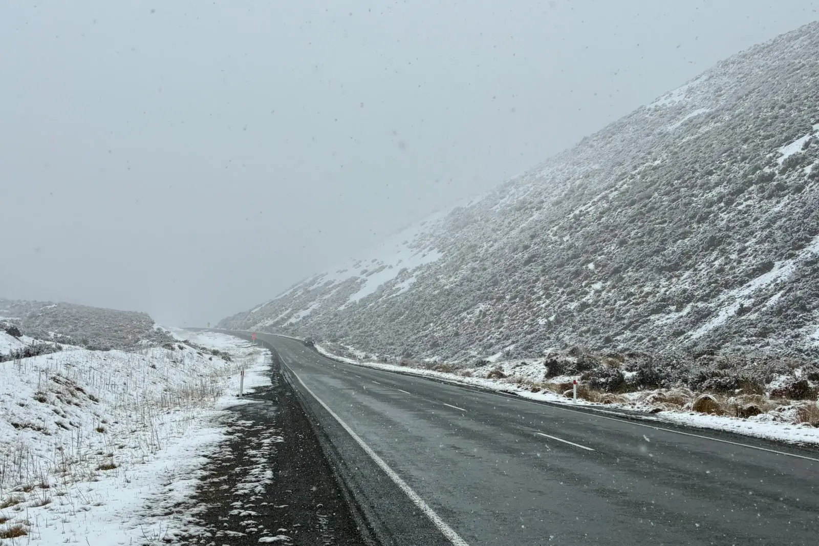
Temperatures across eastern parts of the island are set to plunge on Wednesday, MetService says, with higher roads in for snow on Wednesday and Thursday.
An NZ Transport Agency Waka Kotahi (NZTA) spokesman said private forecasts supplied to the agency suggested a risk of 10cm of snow in the Mackenzie Basin impacting State Highways 8 and 80 early on Thursday, while further north more than 10cm may fall on higher parts of State Highway 73 such as Porters Pass and west of Arthur’s Pass village.
On SH94 near Milford Sound, the cold front and accompanying rain is predicted to elevate the avalanche risk. Part of SH94 is likely to close from Tuesday evening, with a reopening currently expected around midday on Wednesday.
The spokesman said crews would be monitoring the state highways – especially around the alpine passes - and would be ready to clear snow or put in place closures or restrictions where necessary.
— Allied Media