

MetService has forecast a series of weather systems to move through, two from the Tasman Sea on Wednesday and Thursday, followed by one affecting the North Island on Friday.
After a cooler start for the North Island on Monday temperatures are set to climb up again from Tuesday, with daytime highs in the 20s expected from Northland right through to Wellington.
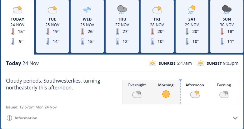
The heat goes on in the South Island on Wednesday and Thursday. MetService's 7-day forecast for Dunedin shows the city reaching temperatures of 26C and 27C those days, and it's a similar story for inland Otago.
Further north, Christchurch could get close to 30C midweek.
Friday is shaping up to be the most unsettled day of the week with showers expected for most areas and a chance of thunderstorms.
MetService meteorologist Mmathapelo Makgabutlane said keeping an eye on the rain forecast would be important for the North Island this week.
"There'll be plenty of dry breaks, but those showers could catch people off guard."
The South Island is set to see more than a few showers this week as two systems bring wet and windy weather on Wednesday and Thursday.
"Mid-week will be the time to plan for in the South Island. Additional watches or warnings may be issued, so keep an eye on metservice.com in the coming days," Makgabutlane said.
The first wave moves in early Wednesday, with possible heavy rain for the ranges of Tasman, the West Coast Region and Fiordland.
A heavy rain watch is in place for the ranges of Westland, and heavier falls may spill over into the Canterbury High Country near the Southern Alps.
The next wave arrives on Thursday, bringing even larger rainfall totals for similar areas.
Northerly winds will also be felt markedly over the South Island this week, mainly on Wednesday and Thursday when speeds may approach severe gale in exposed places.
- additional reporting Allied Media


