
PHOTO
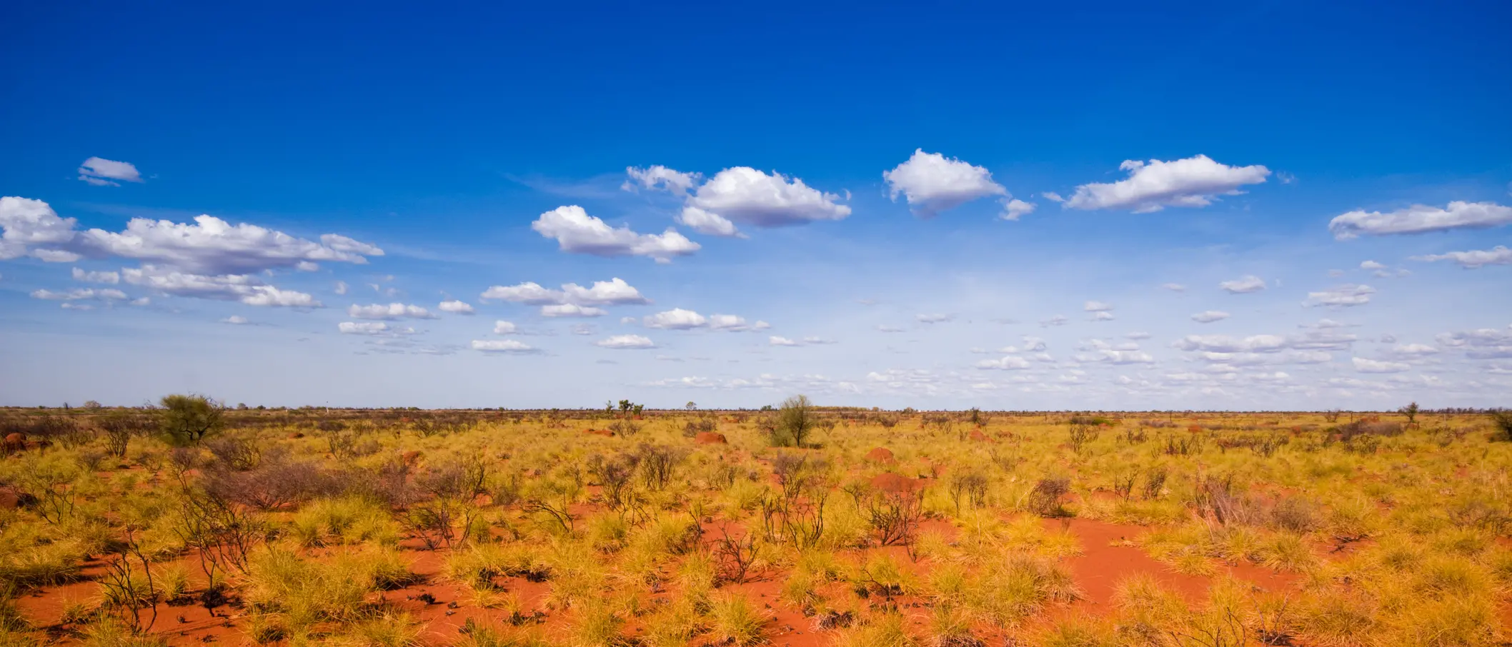
Large swaths of Australia sweltered on Sunday in a heatwave raising bushfire risk, while another storm threat has northern flood-hit regions on high alert.
Heatwave alerts at "extreme" level - the highest danger rating - were in place for a second day for parts of Western Australia and were extended to South Australia, while areas of Queensland, New South Wales and the Northern Territory were under "severe" warnings, the weather forecaster said.
It cautioned that in Western Australia, the nation's largest state, the remote Pilbara and Gascoyne areas could hit high forties degrees Celsius on Sunday.
About 1500km north of the state capital Perth, in the Pilbara mining town of Paraburdoo, a maximum temperature of 48degC was forecast, more than seven degrees above the average January maximum, according to forecaster data.
It was 31.1degC at 6.30am (local time).
Australia's highest temperature on record of 50.7degC was logged at the Pilbara's Onslow Airport on January 13 in 2022.
On the east coast, parts of New South Wales' capital Sydney were forecast on Sunday to reach 40degC, almost 10 degrees above the average January maximum.
The hot, dry conditions raised the risk of bushfires in some areas, the weather forecaster said, as Australia endures an El Nino weather event, typically associated with extreme phenomena such as wildfires, cyclones and droughts.
The last two bushfire seasons in Australia have been subdued compared with the 2019-2020 "Black Summer" when bushfires destroyed an area the size of Turkey, killed 33 people, 3 billion animals and trillions of invertebrates.
Sodden north on cyclone, flood watch
Northern Australia is battening down the hatches as the Bureau of Meteorology warns intensifying activity in the Coral Sea will likely result in the formation of Cyclone Kirrily.
While the cyclone won't be officially named until it is properly formed, the bureau expects it to develop off the Queensland coast by Monday.
A coastal impact with Queensland is now considered more likely than not, but there still remains some uncertainty in the movement of the system.
The most likely area of impact is between around Cooktown and Mackay, probably south of Cairns.
"It is still maybe a day away from becoming a cyclone and mid-next week it is looking like tracking towards the Queensland coast," the bureau's Dean Narramore told AAP on Saturday.
The cyclone is expected to track south-westerly and gain strength as the week continues.
A severe impact is possible, particularly if the system crosses south of Cairns.
On Saturday, residents celebrated the reopening of the Captain Cook Highway from Cairns to Port Douglas which was closed after Cyclone Jasper struck a month ago.
Also on Sunday, severe thunderstorms with heavy rainfall were forecast to impact Australia's far north and northwest.
The bureau said heavy rainfall and potential flash flooding was likely to continue through the central inland, extending west towards the WA border on Sunday, and reach the Pilbara on Tuesday and Wednesday.
Residents in parts of Kimberley and North Interior districts were told to get ready now for severe weather due on Sunday afternoon. Locations which may be affected include Halls Creek, Balgo, Lake Argyle and Warmun.
Severe weather was forecast to develop over the eastern Kimberley and northern parts of the North Interior districts on Sunday night and Monday morning with scattered six-hourly rainfall totals between 90 to 150mm likely.
A flood watch was in place for East and West Kimberley and Fitzroy Rivers and Sturt Creek District.
Flooding has already forced people to flee their homes in the Northern Territory, where a flood watch and multiple flood warnings are current for the northwest and some central districts. Locations most likely to be affected on Sunday include Kalkarindji, Lajamanu, Timber Creek, Top Springs, Rabbit Flat and Daguragu.
- Reuters and AAP