PHOTO
Who would be a weather forecaster?
It might be an easy task in the desiccated Australian outback or in the tropics, where you can set your watch by the late afternoon downpours. But in mountainous New Zealand, plonked in the middle of the Roaring Forties westerly wind belt, it is one of the most difficult jobs you could do.
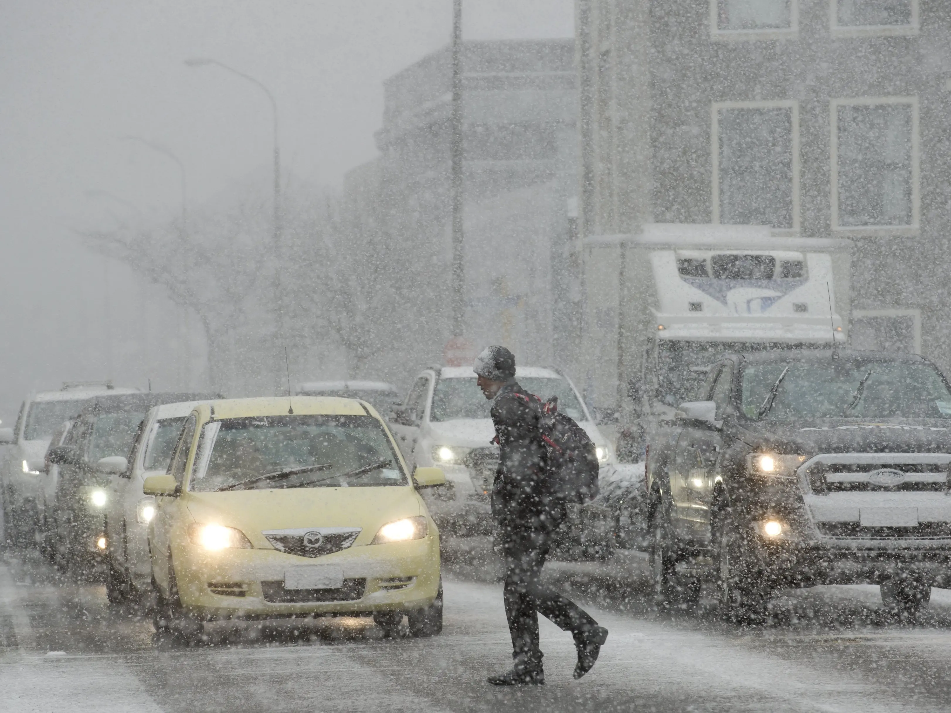
The South and other parts of New Zealand have just been through a fearsome winter storm, despite it being well into spring, with snow settling more than 10cm deep in some places and snow even lying on southern beaches at high-tide level.
Southerners owe a debt of gratitude to official state-owned forecaster MetService and to private agencies such as WeatherWatch which saw this coming a long way off.
WeatherWatch in fact was warning of the risk of a significant blast of Antarctic air and snow to sea-level in parts of Otago and Southland as early as the middle of last week, while MetService took a more cautious approach.
Only 30 years ago we would have been lucky to get more than two or three days' notice of a weather event like this.
As the snowflakes swirled across the South, settling even in Dunedin's Octagon for the first time in several years, how many had already cried ‘‘fake news’’ because the storm had nuances and subtleties and failed to play out as quickly as they might have imagined?
It is human nature to try to play down warnings, and perhaps part of that is also the phlegmatic Kiwi nature and the ‘‘Southern Man’’ image.
But we can see now this was an incredible piece of forecasting that has probably saved southern farmers from having to bear the cost of millions of dollars of lost stock. Some areas of course were worse hit than others.
The scale of the ‘‘bomb low’’ which dictated the weather over a four-day period at the weekend and into this week meant it was not a traditional storm in the way many consider them.
This was not a mercurial thunderplump drifting across Central Otago dumping torrential rain and large hailstones in just an hour or two and causing flash flooding. Nor was it a couple of days of constant rain or snow without let-up.
Instead, this was a tricky blighter. The worst conditions in any one area came and went across a longer timeframe, with sunny interludes which gave the illusion several times that it had either come to little or was just about over.
Watching this one was like attending a meteorological play which had several acts unfolding over a period of time. There were cliffhangers, ‘‘how long till the snow arrives?’’, a climax as the South turned white on Tuesday and a denouement of sorts now in the form of rapidly melting snow and sodden paddocks.
Snow in the South in September is not unusual. It happens in October too and has, on rare occasions, even affected part of the region as late as November or December.
So we shouldn't be surprised when a polar blast hits outside the traditional winter months of June, July and August.
Otago is still patiently waiting for its MetService weather radar. Good news then this week to hear it may finally be in place next month and operating by the end of the year.
Weather forecasting is one of those thankless tasks.
Get it right, as forecasters in New Zealand generally do about 80% or more of the time, and you remain largely invisible — you are just doing your job.
Get it wrong, as still occasionally happens, and you find yourself thrust into the media spotlight being bashed with the hoary old adage that anyone could do better by merely looking out the window.
On this occasion, credit where credit is due. A round of applause for our forecasters, please.