
PHOTO
What you need to know:
- More than 20cm of snow fell in places
- Crews are assessing conditions and trying to clear roads
- Avalanche danger across the Southern Alps is high
- Poor weather, low visibility and strong winds expected through Friday
- Check highways conditions on NZTA’s Journey Planner
- Check weather forecasts on MetService
Police are urging motorists to avoid travel on two key roads around Queenstown as a winter storm batters parts of the South Island.
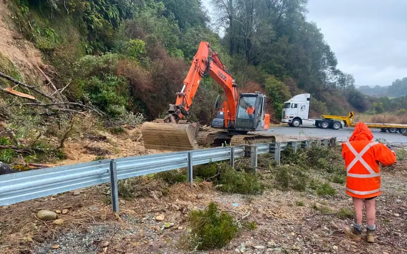
A slip has closed the Glenorchy-Queenstown Road between One Mile Roundabout and the Sunshine Bay turn-off, Queenstown Lakes District Council said.
Traffic can still travel up and over Fernhill Rd to detour.
"We've received reports of flooding and debris at the One Mile Roundabout in Queenstown. If you're travelling to or from Fernhill & Sunshine Bay or Glenorchy-Queenstown Road this afternoon, please drive with care,” the QLDC said.
In an update on Thursday evening the council advised the road would stay closed overnight.
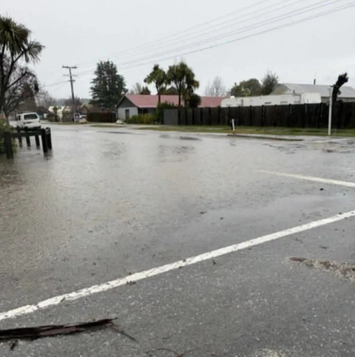
The Crown Range Road has reopened after rockfall and stranded vehicles caused it to close at 2pm, but late on Thursday afternoon police issued a plea to motorists to avoid travelling on both roads.
They said officers were at the Glenorchy – Queenstown Road site with fire crews and council staff, working to clear the debris and to assess the damage to the road.
“Currently there are no reports of damage to residential properties.
"Police are also advising motorists to avoid or delay travelling over the Crown Range as heavy snow is currently impacting the area.”
On Thursday evening the council said Rees Valley Road near Glenorchy was closed due to flooding and debris caused by the rain.
The QLDC earlier said the Crown Range Road, which joins Queenstown and Wānaka, was only open to vehicles with chains.
“Vehicles must fit chains at Eastburn Road (Queenstown side) and Cardrona snow gate (Wānaka side).
“Minor slips are present and we ask that all road users drive with extreme care.”
The council said the road would close overnight from 10pm on Thursday owing to the conditions.
Elsewhere, road users are urged to drive with care or consider delaying their travel, with heavy snow, rain, rockfall and highway disruptions.
Large avalanches were expected to run to the valley floor in parts of the island as heavy snow prompts multiple alerts for very dangerous conditions.
People were urged to stay out of the back country until the stormy weather had passed and snowpack conditions settled, RNZ reports.
In Southland, SH94 Te Anau to Milford Sound (the Milford Road) remained closed from the Lower Hollyford Road intersection to Donne River on Thursday due to an avalanche risk.
The road was expected to reopen from mid to late morning on Friday, based on current forecasts.
Road snowfall warnings are in place for the Lewis (SH7), Lindis (SH8), Arthur's and Porters Passes (both SH73).
The worst effects of the storm were expected to unfold throughout Thursday and people travelling around the South Island – especially inland and through alpine areas - should take care, a spokesman for NZ Transport Agency Waka Kotahi advised.
Late on Thursday afternoon NZTA said it would be monitoring highways overnight for any further flooding and slips as the risk of disruption from snow diminished.
MetService meteorologist Devlin Lynden earlier told RNZ the storm was expected to weaken on Friday as it moved across the country.
"The worst of the snow has passed, but areas of heavy rain do persist through Friday.”
However, unsettled weather would continue into the weekend with a cold front moving over the lower South Island on Saturday while a complex trough impacted the central and top of the North Island followed by a strong west to southwest flow on Sunday.
“This means the weather remains changeable through the weekend, with a series of fronts and troughs bringing periods of rain, particularly to western and southern areas,” Lynden said.
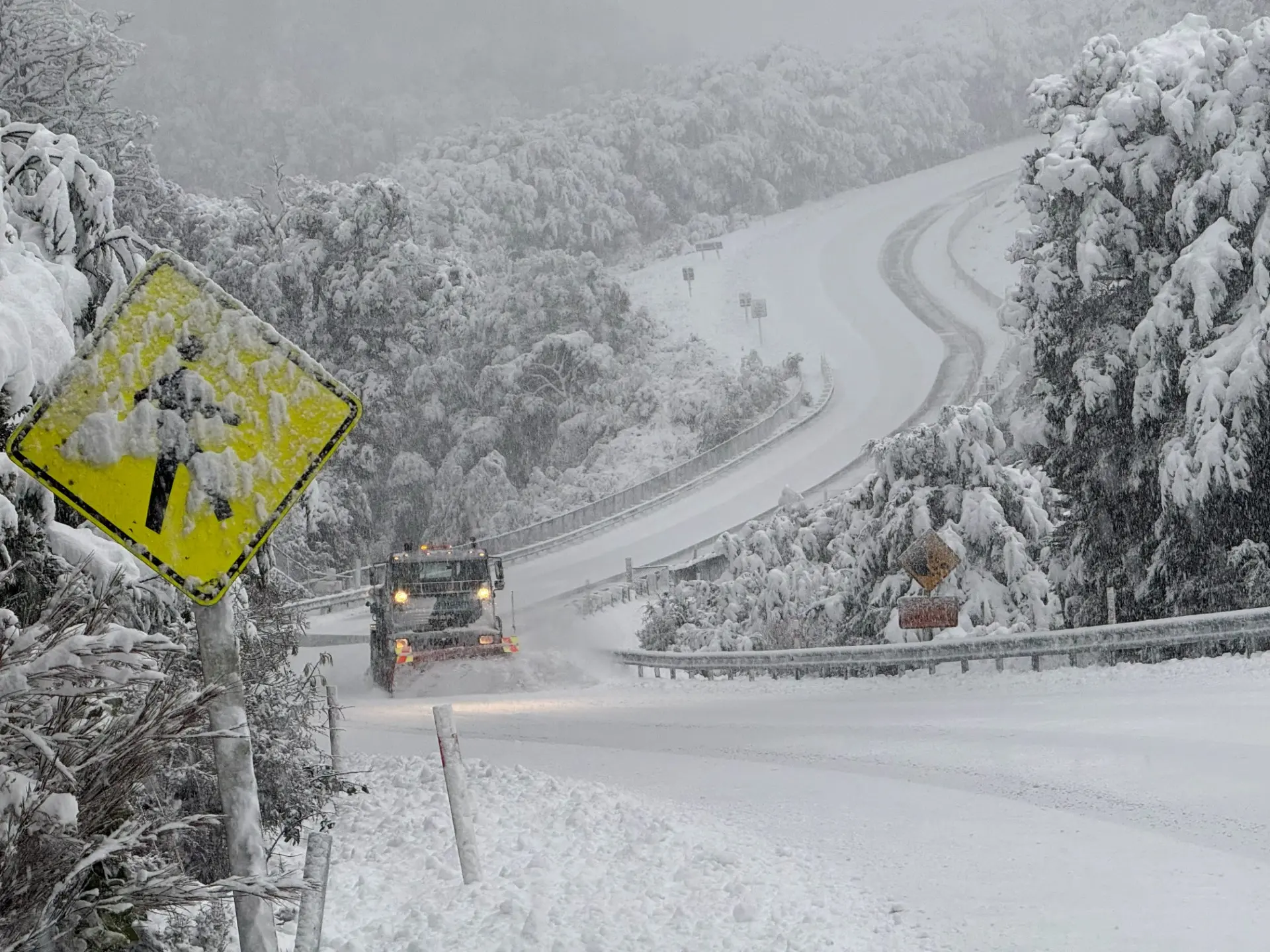
Police earlier warned of severe weather conditions across Central Otago.
“Thankfully, there have been no serious crashes reported this morning - however, there is heavy rain fall across the area, and we want to remind the public to drive to the conditions,” police said in a statement.
“Please remember to slow down, increase following distance, exercise patience, and never drive impaired or distracted.”
Danseys Pass Road was closed (from the gates past the Dansey’s Pass Hotel) by 10am due to snow and ice.
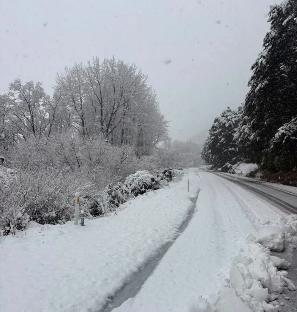
Snow affecting state highways
NZTA said area warnings were now in place for state highways in the Mackenzie Basin as snow presented a risk to road users.
Official warnings were in place for SH8 from Fairlie to Tekapo (including Burkes Pass), and SH 80 from Glentanner to Mount Cook Village because of snow.
Motorists were urged to travel with caution – including reducing their speeds, increasing their following distances, avoiding sudden braking or turning movements, and staying as visible as possible.
SH73 between Otira and Springfield is now fully open on Thursday after being closed because of snow. Multiple rockfalls had also been reported. Up to 25cm of snow had earlier fallen from Porters Pass through to Craigieburn Cutting on the state highway.
Road users were advised to take extra care as winter driving conditions remain.
Heavy snow was expected above 800m in the Canterbury High Country and parts of inland Otago with lesser amounts possibly falling as low as 400m.
A heavy snowfall warning was earlier issued for Canterbury High Country south of the Rangitata River, and Otago north of Arrowtown to Ranfurly.
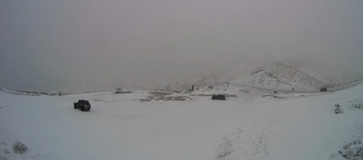
Widespread large avalanche warnings
The Avalanche Advisory has its second-highest danger warning in place for Arthur's Pass, Aoraki Mount Cook, Ohau, Queenstown, Wanaka, Fiordland and Aspiring.
A considerable avalanche risk was also in place for Craigieburn Range, Mount Hutt, Two Thumbs and Nelson Lakes.
Aoraki Mount Cook had already received plenty of snow and rain with a large amount of snow predicted on Thursday. More than 3.5 metres could have fallen on the Tasman Saddle over recent days, the advisory said.
There was a very high degree of uncertainty in the forecast and avalanches might be larger than forecast, it said.
On Wednesday, a large loose wet avalanche was reported to run to the valley floor on Mount Ollivier Fan, reaching the lower bushline.
The advisory said the risk at Arthur's Pass meant large avalanches were expected to reach the valley floor and people should keep out of run zones which included tramping terrain.
In Queenstown, the advisory said local ski fields had reported multiple natural and ski triggered loose wet avalanches.
"Poor visibility, poor snowpack strength. Gale strength winds, blizzard conditions before the rain turns it all to wet cement. Yeah, nah… movie day.”
For Aspiring, the advisory said it was the largest storm of the winter with more than 1.5m of fresh snow potentially falling in higher elevations.
Heavy rain warnings
More rain was expected to fall on already sodden ground as a complex low continued to slowly move over the South Island.
NZTA area warnings were in place for surface flooding on SH6, from Haast to Fox Glacier, and from Lake Wahapo (near Whataroa) to Harihari, on the West Coast.
More than 300 millimetres of rain has been recorded around Franz Josef during the current storm, MetService said on Thursday afternoon.
The forecaster has issued a new orange heavy rain warning for the ranges in the Grey and Buller Districts for up to 90mm of rain from midnight on Thursday until noon on Friday.
Westland and the headwaters of lakes and rivers in Otago and Canterbury remain under heavy rain warnings, lasting until 2am on Friday for Otago headwaters and noon on Friday for Westland and the Canterbury headwaters.
A further 140 to 180mm of rain was predicted to hit the Westland ranges, with peak rates of 20 to 30mm.
MetService warned streams and rivers might rise rapidly with possible surface flooding, slips and difficult driving conditions.
Rivers on the West Coast were running high where further heavy rain was expected to fall, while river flows in Canterbury were expected to also remain high through to Friday.
Grey District Council said contractors were clearing a slip on the road between Blackball and Atarau and the road was closed.
Motorists also needed to take extreme care due to flooding on Blackball hill and between Blair Road and Stillwater.
Fog, rain and wind for North Island
Rain was also spreading to the North Island and strong north to northwest winds would affect central New Zealand.
Fog was affecting flights in and out of Auckland on Thursday.
Wellington, Wairarapa south of Masterton, and the Marlborough Sounds would be under strong wind watches from 6am on Friday.
Severe gales were possible in central and southern parts of the country on Sunday and Monday but MetService predicted conditions would gradually ease later on Monday.
- Allied Media and RNZ