
PHOTO

Farmers should begin preparing now ahead of a predicted "significant" El Nino event which could bring with it drought and heavy rainfall, Otago Regional Council’s principal scientist says.
Jason Augspurger said while every El Nino was different, in Otago strong El Nino years tended to result in central and eastern Otago experiencing hot, windy and dry conditions, to the point of drought.
There was also the possibility of scattered heavy rainfall.
This could have a "significant" impact on agriculture, he said.
"People should start refreshing their thinking about how they’d handle different water restrictions scenarios if those were to eventuate at some point this summer, which could affect town and irrigation water supplies," he said.
For the rural sector, considerations should include considering grazing options, feed availability, back-up fuel, fixing leaky irrigation systems, stock plans for dry conditions on farms, and how potential water restrictions may impact farms and households.
Federated Farmers North Otago president Otto Dogterom said: "You always have to be prepared for a drought."
Mr Dogterom said there had been two very good seasons in a row so there was a "fairly big chance" of going into a dry season.
"That’s why irrigation is that important for the district."
He said the region was "lucky" to have the Waitaki River which he called "one of the most reliable rivers in the country".
El Nino was officially declared last week, and Earth Sciences New Zealand (ESNZ) expects the climate phenomenon to intensify into one of the strongest on record.
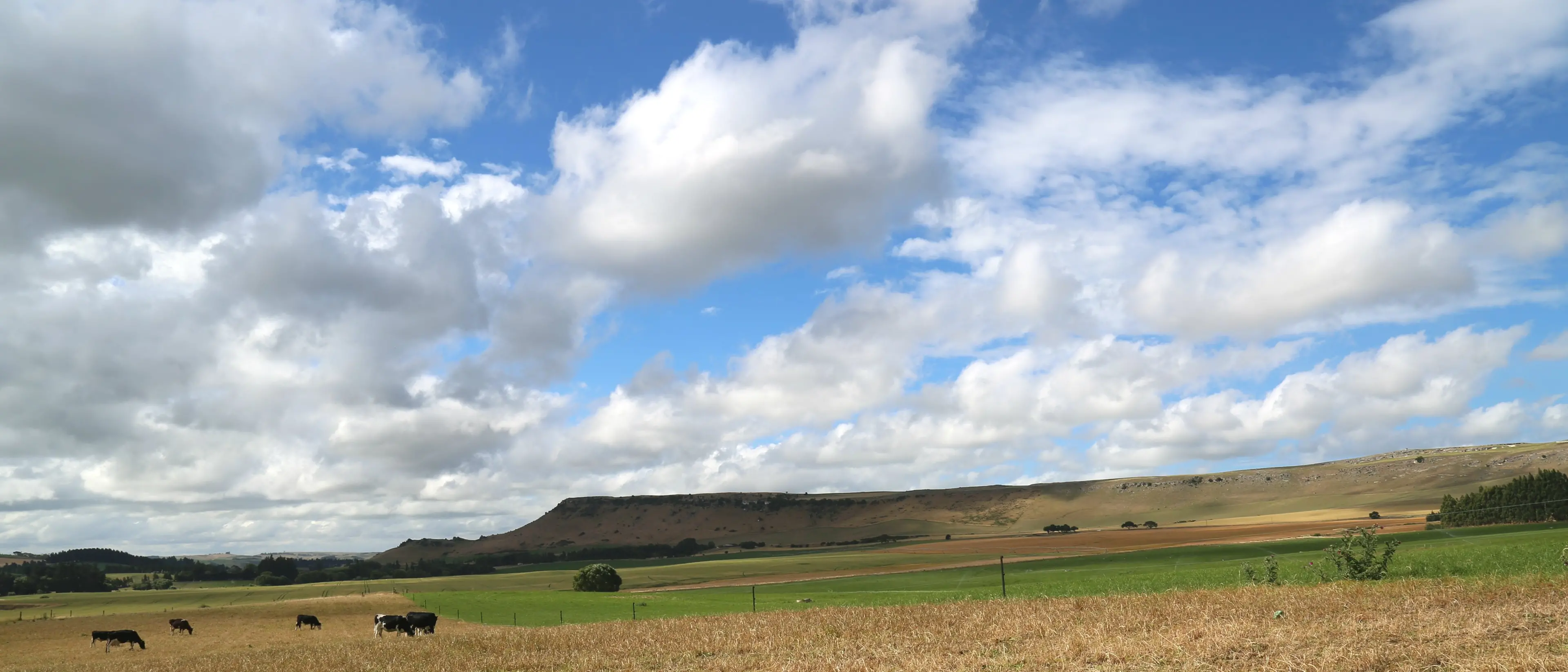
The naturally occurring cycle originates in the tropical Pacific Ocean, and significantly alters weather patterns in New Zealand, typically bringing stronger westerly winds and increased rainfall to the west and south of the country, and drier and warmer weather to the east and north.
ESNZ forecasting principal scientist Chris Brandolino said El Nino conditions had now been reached in the tropical Pacific atmosphere and ocean, but the event was still in its early stages.
He said the warmer-than-average subsurface ocean temperature anomalies would continue to intensify and expand in the tropical Pacific.
"This means that a significant El Nino event is increasingly likely.
"There is about an 80% chance for El Nino to reach or exceed strong intensity over the outlook period [July-September 2026].
"It will have significant impacts on New Zealand’s weather."
Along eastern Otago, temperatures were about equally likely to be above average or near average.
"Chances for increased temperature variability — like large temperature swings — and unusually windy periods, are likely to increase later in the winter season and especially during spring," he said.
"Rainfall totals are about equally likely to be below normal or near normal for the outlook period as a whole, but there is a risk of some significant rainfall occurring early in July."
Soil moisture levels and river flows are about equally likely to be below normal or near normal, he said.
"The prospect of below-normal winter rainfall in several regions is likely to translate to below normal groundwater recharge, creating challenges for water-reliant sectors."
He said El Nino conditions were expected to peak during the austral summer of 2026-27.