

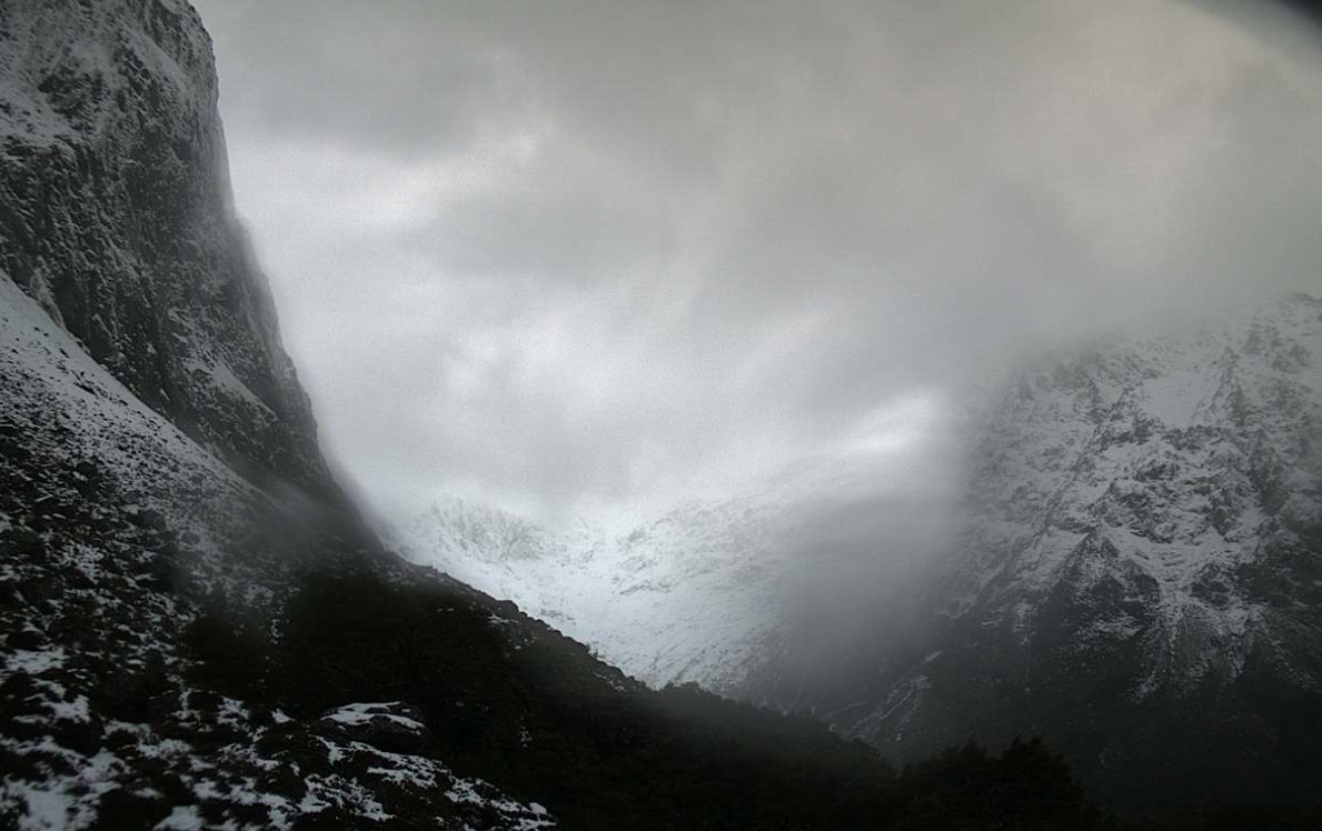
NZ Transport Agency Waka Kotahi (NZTA) said in an update about 4pm the road had been closed from the Hollyford Road Junction to the Donne River Bridge "due to heavy rain and snow elevating the avalanche hazard".
NZTA said the road would remain closed all of Friday and into Saturday until conditions cleared and avalanche mitigation work was completed.
It was hoped this would be done by Saturday.
MetService has issued road snow warnings for the highway, and for the Crown Range Road.
The forecaster also has a severe rain watch in place for the headwaters of the Otago lakes and rivers.
MetService meteorologist Lewis Ferris said an active frontal system moving up the country was likely to bring strong northwest winds and heavy rain to many parts of the South Island.
He said heavy rain had "kicked off" for the West Coast of the South Island today and there had been a few thunderstorms around Fiordland and southern Westland.
"Western areas are most at risk of rain today but as we head into Friday the wet weather extends northward with Wellington seeing passing showers through the day and the main frontal rain band arriving at night.
Ferris said thunderstorms were forecast to mostly remain around southern and western parts of the South Island; "however, some may sneak across the alps into the likes of Queenstown Lakes".
He said the storms brought the risk of hail, blustery winds and potential snow down to around 400m.
He said cool weekend was on the cards for southerners.
"A cool southwest change moves on to Southland Saturday evening and zips up the country.
"It might be breakfast in bed rather than a round of golf for Dad on Sunday.”
Road Snowfall Warnings
Milford Road (SH94), for 15 hours from 3pm Friday to 6am Saturday.
Forecast: Snow gradually lowering during Friday afternoon and evening. 5 to 10cm may accumulate about the Homer Tunnel entrance from Friday afternoon, with lesser amount above 400 metres from Friday evening, especially in the east.
Crown Range Road, for 13 hours from 4pm Friday to 5am Saturday.
Forecast: Showers are expected to turn to snow from late Friday afternoon, then clearing overnight Friday or early Saturday morning. 1 to 2cm may accumulate about the summit, with lesser amounts down to 800 metres.
Heavy Rain Watch
Headwaters of the Otago lakes and rivers north of Glenorchy, for 11 hours from midnight Thursday to 11am Friday.
Forecast: Periods of heavy rain with thunderstorms possible. Rainfall amounts may approach warning criteria within 20km east of the main divide. Freezing level about 1800 metres.
- Allied Media


