Niwa National Climate Centre forecasting principal scientist Chris Brandolino said the La Nina weather pattern continued during November and a marine heatwave developed in New Zealand’s coastal waters, and both were expected to influence the climate for the next three months.
"Summer air pressure is forecast to be higher than normal over and to the south of the South Island, and lower than normal north of the country.
"This will likely result in an easterly quarter air flow anomaly and fewer westerly winds over the three months as a whole."
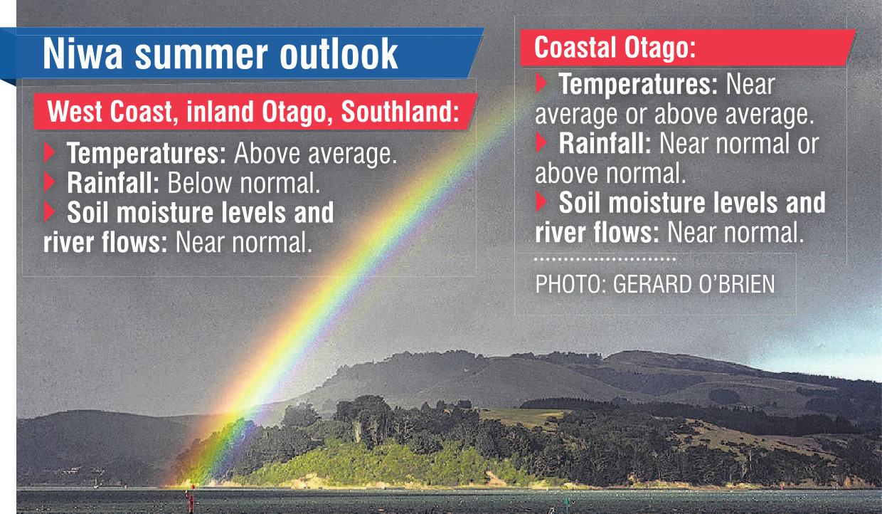
For the West Coast, the Alps and foothills, inland Otago and Southland, that meant temperatures were very likely to be above average, he said.
"More easterly-quarter winds and marine heatwave conditions will result in high heat and humidity at times."
Overall rainfall totals were most likely to be below normal, soil moisture levels are most likely to be near normal, and river flows are equally likely to be near normal or below normal.
But due to La Nina, more frequent offshore winds would likely result in extended dry spells, elevating the risk for extreme dryness or drought-like conditions during periods of high pressure."A dry spell is possible from mid-December to early January.
"The risk is elevated about the western and lower parts of both islands, especially the South Island, inclusive of Otago, Southland and the West Coast."
Despite the dry period, he warned the region to remain aware of the potential for a tropical moisture plume in January or February.
"Warmer than average regional seas are expected to fuel occasional heavy rainfall events," he said.
In coastal Otago, temperatures were equally likely to be near average or above average.
Fewer northwesterly winds may lead to fewer hot days above 25degC, although more frequent onshore winds may contribute to more cloud cover, creating warmer overnight temperatures and higher humidity.
He said the onshore winds may also lead to more wet days (more than 1mm of rain).
Occasional tropical moisture plumes were also possible, and conversely, nearby anticyclones could increase the risk for a dry spell or two during the season — especially in the South.
But overall rainfall totals were equally likely to be near normal or above normal. Soil moisture levels and river flows were most likely to be near normal, he said.


