PHOTO
The Clutha River exceeded the first flood level warning at Balclutha last night after persistent rain in the high country over the past few days.
Otago Regional Council monitoring equipment showed the river was flowing at 1306.205cumecs at 10pm, well above the first alert level of 1140cumecs.
ORC duty flood manager Neva Vaitupu said low-lying areas would be saturated or inundated.
''Any farmers with stock on low-lying areas should move them,'' he warned.
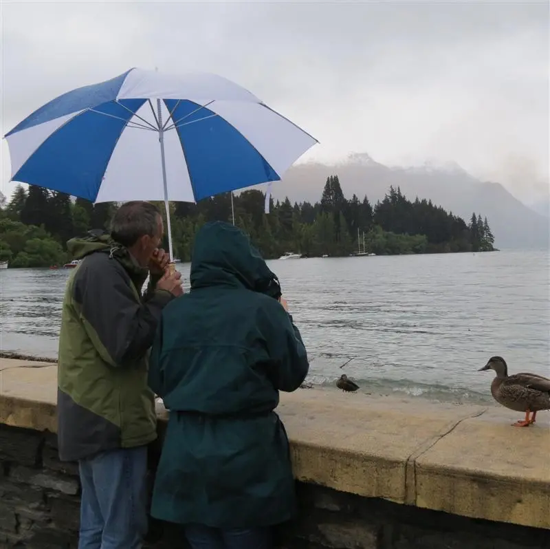
Campers were also advised to be aware of rapidly-rising lake and river levels.
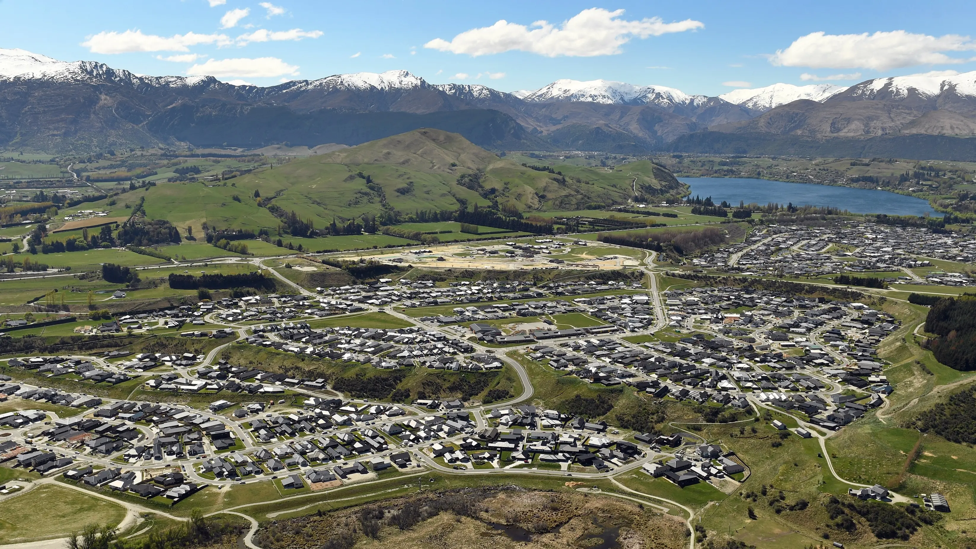
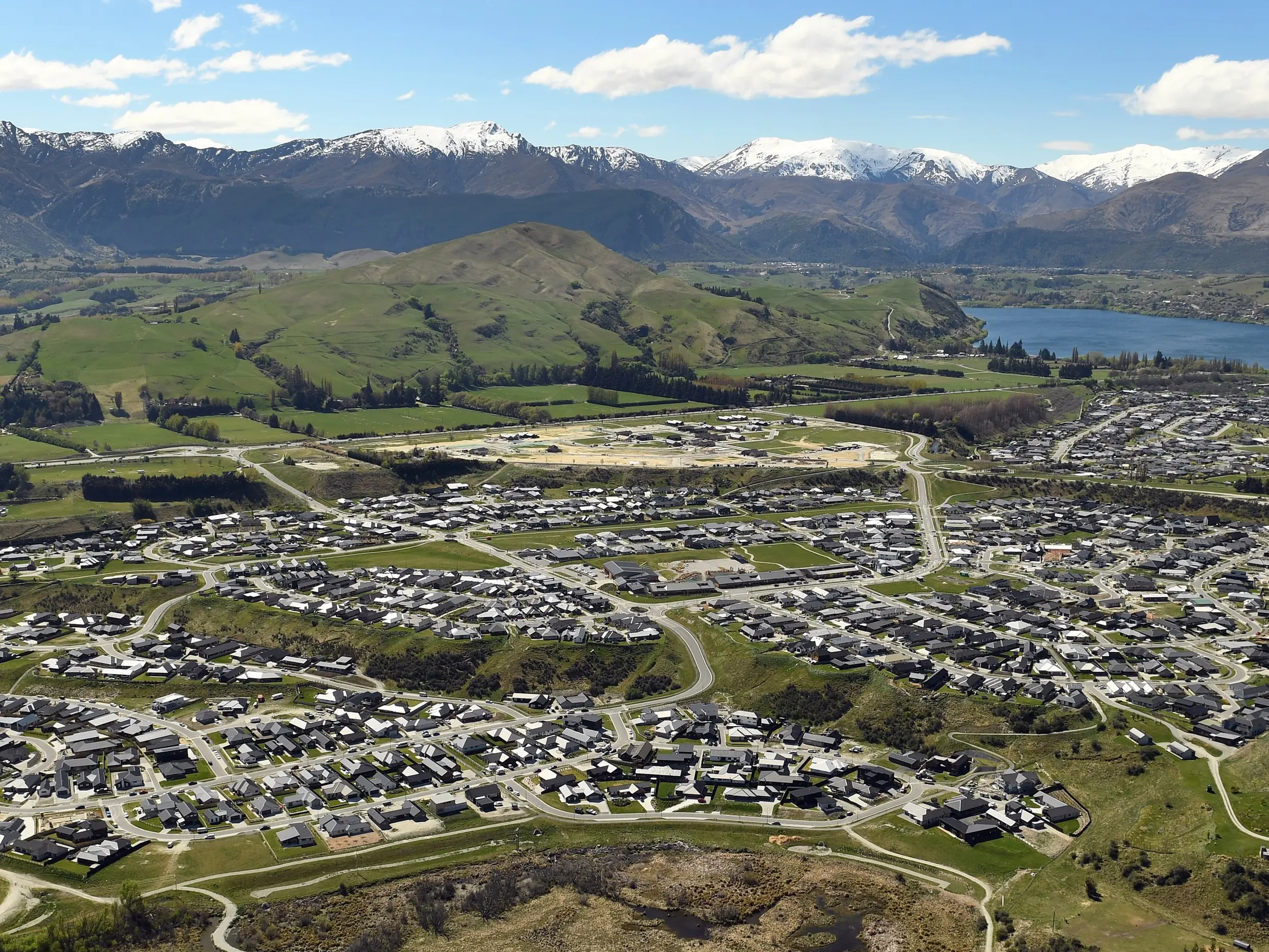
Lakes Wakatipu and Wanaka continued to rise but were expected to peak early this morning. Lake Wakatipu had reached 311.038m at 10pm yesterday, above the first alert level (310.80) but still below the ''possible flooding'' level of 311.300.
Lake Wanaka was at 278.915 at 10pm, below the ''high alert'' level of 279.400.
Mr Vaitupu said the ORC did not expect any flooding in Queenstown or Wanaka but was continuing to monitor the situation.
''It is no drama as long as there is no more rain.''
Boating enthusiasts should also be wary of floating debris in both lakes Wakatipu and Wanaka, washed in from swollen tributaries.
River flows of about 1300 cumecs were forecast at the Roxburgh Hydro and flows in the Clutha River were forecast between 1350 cumecs and 1400 cumecs, Mr Vaitupu said.