
PHOTO
More snow showers are set to affect State Highway 1 between Dunedin and Waitati, and road users are warned to take extra care on Tuesday morning.
MetService has updated a road snowfall warning, advising up to 3cm could settle on the highest part of the road from 8pm on Monday until 5am on Tuesday, with lesser amounts down to 100 metres.
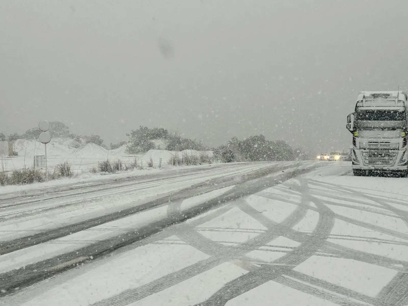
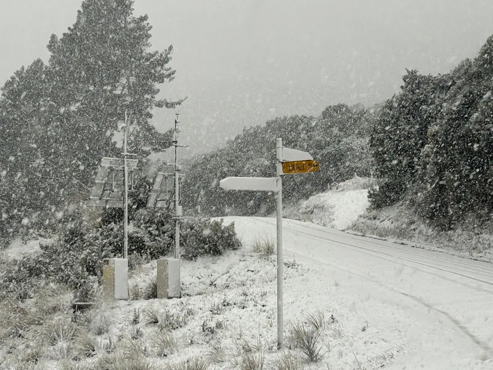
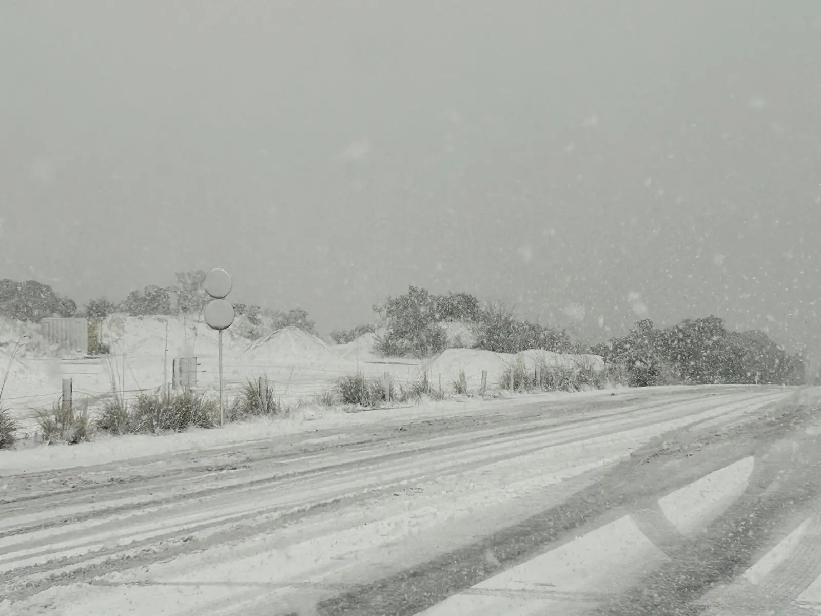
Heavy snow had closed the highway just after 9.30am on Monday, as cars and trucks were stuck on the Leith Saddle.
About 1pm traffic was moving very slowly along Great King St, and backed up to Dundas St, as cars looked to access the highway, which reopened just before 2pm.
Snow fell in Dunedin city and settled on hill suburbs, while several road snowfall warnings were in place throughout the South during Monday.
SH87 from Outram to Middlemarch was closed and would remain so overnight due to snow, NZTA said. An update was expected at 9am on Tuesday.
MetService meteorologist Devlin Lynden said snow had affected the southern regions over the weekend, and would continue to fall on Monday through until Tuesday.
“There's a good signal for snow along that southeast coast of the South Island again through [Monday] evening as the freezing level drops a wee bit.
“So we've sort of settled into a bit of an unstable southwesterly flow with plenty of moisture breezing past the country and clipping through the Southland, Clutha and Dunedin areas, as well as cooler temperatures.
“We're looking at snow at really quite low levels. In fact, in the Dunedin forecast right now, we're talking about snow lowering to near sea level on Monday night.”
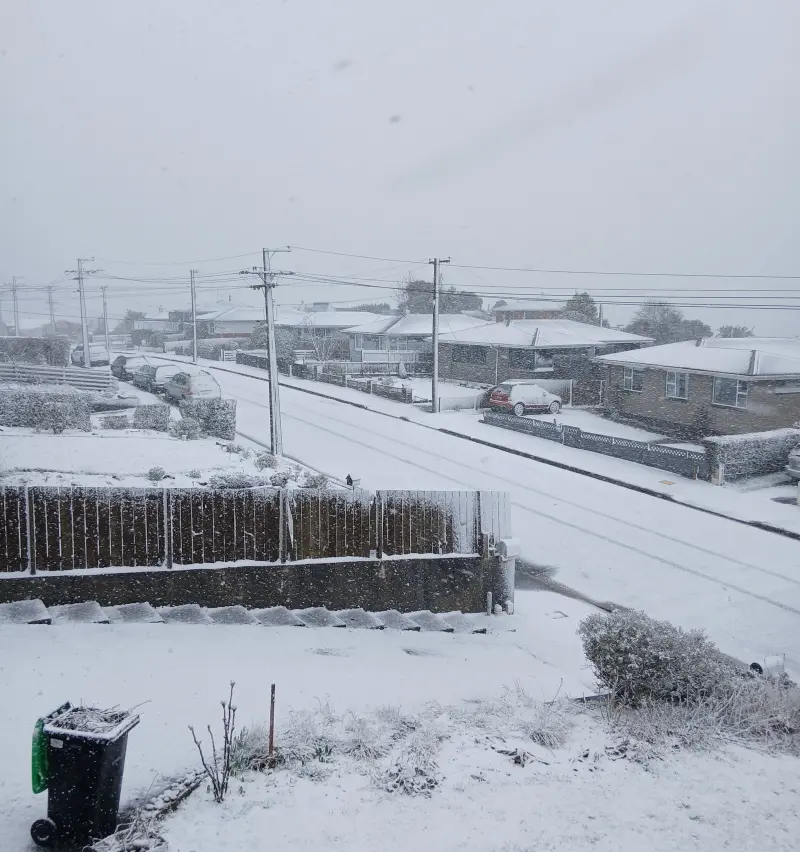
Mr Lynden believed it was likely to fall in the hill suburbs of Dunedin but not in the lower suburbs.
“It's likely that you'll wake up and be able to see some about, so take care driving to work.”
It would be a similar case for the rest of Otago and parts of Southland, he advised.
“There's a few spots inland, particularly the ranges and stuff where they're really lighting up with good amounts of snow, all the way down to the Catlins and Clutha, up to Dunedin and parts of North Otago as well - it’s really looking like they'll see snow at those low levels.”
Drastic drop in Christchurch
Christchurch reached 20°C on Sunday and had almost escaped the worst of the weather until an unexpected hailstorm just after lunchtime on Monday.
The temperature then dropped drastically to below 7°C in the city on Monday afternoon as thunderstorms hit.
“The weather system is moving pretty quickly, and the heaviest part was over Christchurch before pushing north,” Metservice meteorologist Lewis Ferris said.
Road warnings
• SH87 from Outram to Middlemarch was closed about 10.10am on Monday, NZTA said.
• SH85 between Kyeburn and Palmerston remained open, but was subject to an area warning due to snow.
• Caution was also urged on SH88 at Sawyers Bay in Dunedin due to surface flooding, the agency added.
• Central Otago’s Danseys Pass Road is restricted to 4WD vehicles (from the gates past the Danseys Pass Hotel).
• In Canterbury, a road snowfall warning was issued for the Lewis Pass (SH7) until 11pm on Monday.
All other warnings for alpine roads had been lifted by late on Monday night, including for the Lindis Pass (SH8) in Central Otago and Southland’s Milford Road (SH94).
‘Weather whiplash’ ahead
MetService meteorologist Devlin Lynden said the weather trend for the rest of this week was for more “weather whiplash”.
Fronts would switch between west-southwest to northwest and back again throughout the week, bringing heavy rain and cold winds to parts of the regions on some days, and warm temperatures up to 18˚C on other days.
“Things will warm up a little bit as those winds turn slightly more north-westerly on Wednesday, but then by the end of the week, it's really much of the same again. We're heading into spring and things are likely to remain pretty variable at this time of year.”
Meanwhile, road crews have worked in trying conditions to clear some of the numerous slips that have blocked SH6 between Makarora and Lake Hāwea, in Central Otago.
Rock and other debris was cleared from 10 of the estimated 30 slip sites in the closed SH6 area on Sunday, with the material shifted to temporary roadside stockpiles until it can be properly disposed of later.
The closed section of SH6 will remain fully closed at least until Monday.
The New Zealand Transport Agency said escorted vehicle convoys were scheduled to travel back and forth three times daily from Tuesday but this would depend on the weather as more rain was forecast for Wednesday.
In Queenstown, crews had been responding to flooding, clearing debris, reopening roads and checking infrastructure across the district over the weekend.
Good progress has been made, but the scale of clean-up in some areas was significant and has caused traffic congestion, and several roads remained closed as of late on Sunday.
- Additional reporting Matthew Littlewood and Allied Media
john.lewis@odt.co.nz