
PHOTO
A polar blast caused major disruption north of Dunedin and inland of the city on Monday, as heavy snow closed some major routes and made others almost impassable.
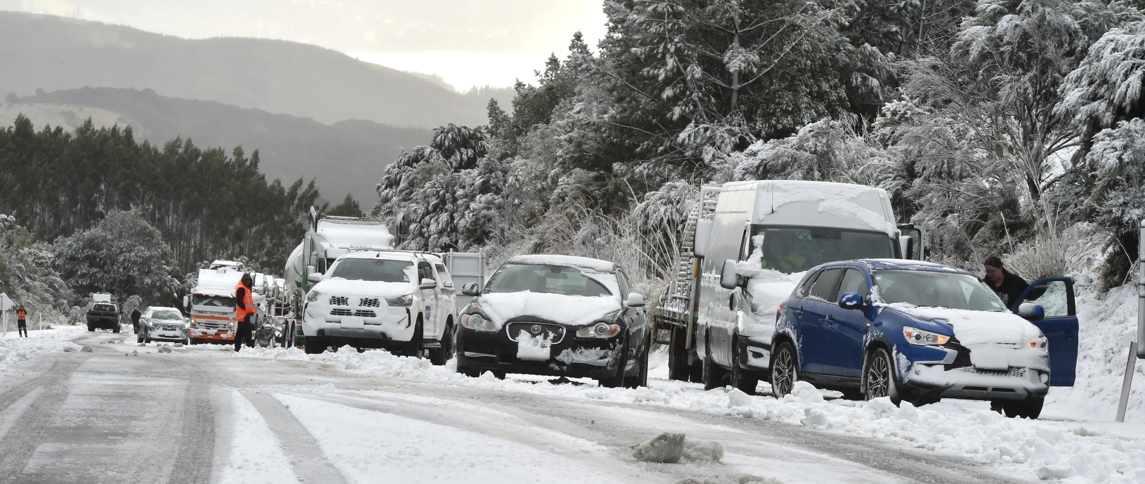
Heavy snow closed State Highway 1 between Dunedin and Waitati when cars and trucks became stuck on the Leith Saddle on Monday morning.
The main route north of Dunedin was closed for much of the day, causing northbound traffic to get backed up along Great King St, as far as Dundas St.
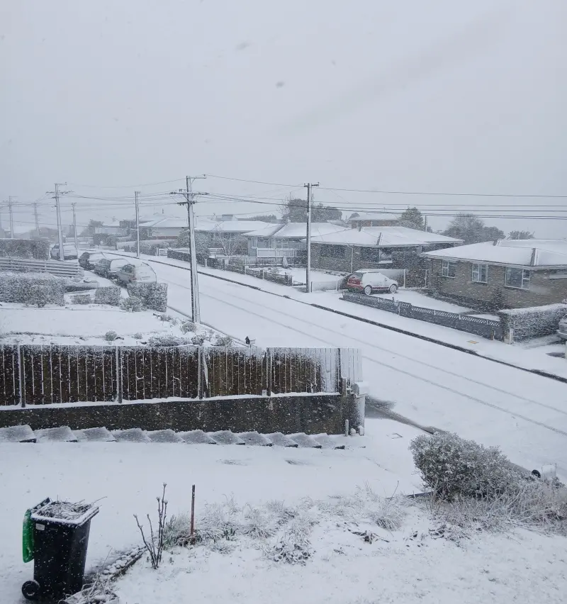
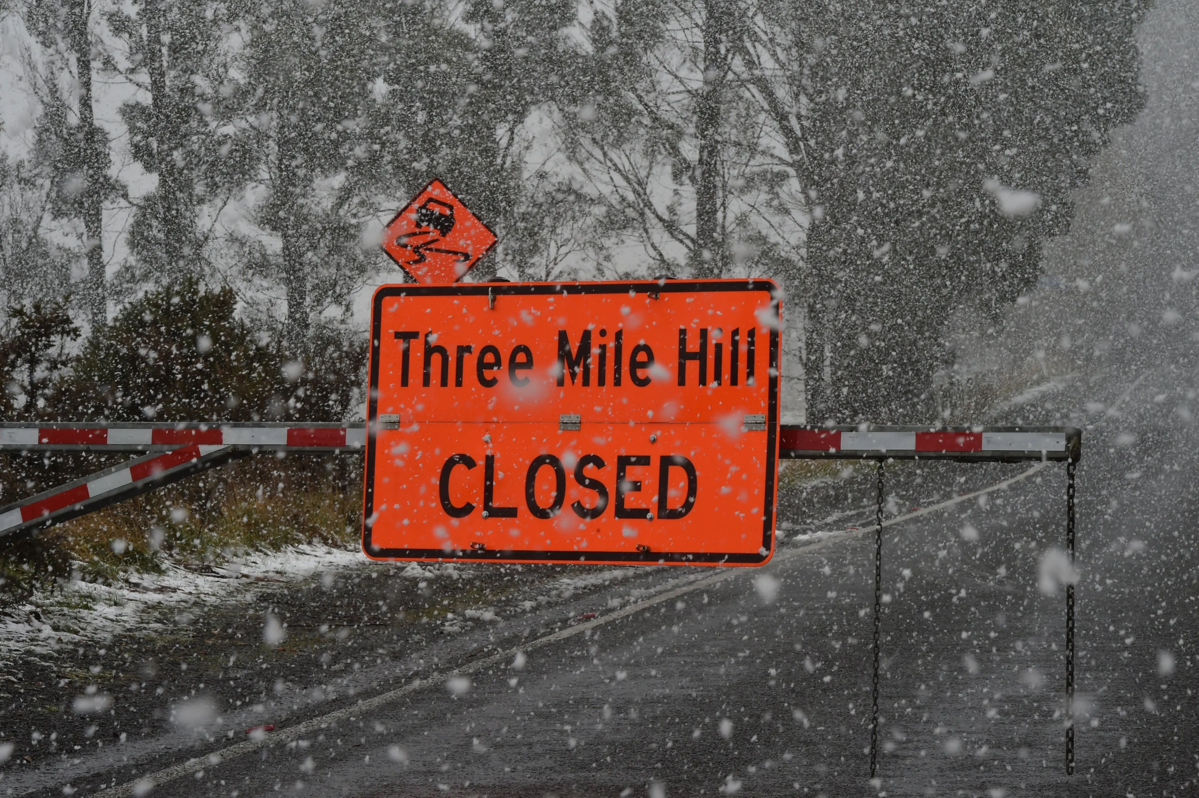
Three Mile Hill Rd was also closed, snow settled on roads in the hill suburbs of Dunedin, and caution was urged on State Highway 88 at Sawyers Bay due to surface flooding.
Many of the bus services to and from the hill suburbs were also impacted by the “significant snow”.
Otago Regional Council regional planning and transport general manager Anita Dawe said council staff would continue to monitor the weather and the city’s roading conditions to “minimise disruptions to passengers”.
More snow had been expected on Tuesday morning but an updated forecast has lifted all road and weather warnings for the South.
Morning showers are set to clear in Dunedin before a fine but blustery afternoon and a high of 13.
A few snow flurries could still hit Queenstown and parts of Central Otago but aren’t expected to cause major disruptions.
State Highway 87 from Outram to Middlemarch was also closed yesterday, and because the snow was so heavy, NZ Transport Agency Waka Kotahi kept it closed overnight.
An NZTA spokesman said an update on when it would reopen was not expected until 9am on Tuesday.
Snow warnings have been lifted for Milford Rd (SH94), the Crown Range Rd, the Lindis Pass (SH8), and State Highway 85 between Kyeburn and Palmerston.
MetService meteorologist Ethan Walton-Jones said yesterday the snowfall was expected to be more persistent overnight as temperatures fell, and Dunedin residents could expect to wake to about 5cm of snow at sea level, and even higher amounts in the hill suburbs on Tuesday.
However, he said the showery nature of the snow event made it difficult to give exact numbers.
He said the roads in the hill suburbs could be “quite dangerous” to drive on.
“If it doesn’t look safe, don’t go out. And keep up to date with the latest road and weather conditions.”
Mr Walton-Jones said the polar blast was expected to clear in the afternoon.
“It looks like the showers should ease off towards midday, and we’ve got the snow levels rising quite rapidly behind it.”
The “weather whiplash” would continue on Wednesday and Thursday, when temperatures were expected to reach 19˚C and 18˚C, respectively in Dunedin, he said.
john.lewis@odt.co.nz