
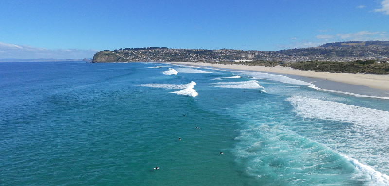
MetService meteorologist Michael Pawley said the mercury reached 18.3°C in Dunedin at 1.25pm, 18.4°C at Dunedin Airport at 2pm, and 18.1°C in Oamaru between 1pm and 2pm.
‘‘The climate average maximum for this time of year is 11.8°C, so it's well above that.’’
Niwa climate scientist Gregor Macara said temperatures on Wednesday night and early this morning were also ‘‘extraordinary’’.
‘‘For example, Alexandra was 19.4°C between 10pm and 11pm on Wednesday night.
‘‘That's a remarkable temperature for the time of year in the sunny hours, let alone overnight. So that's pretty incredible.’’
Clyde also reached 18.6°C between midnight and 1am this morning, he said.
‘‘That's the time of year you expect the temperatures to be in the negatives at that time of night. To be in the 18s is massive.’’
Dunedin also reached 14.7°C at 4am today.
‘‘That’s still higher than the average daily maximum for this time of year. And it was very warm for the time of day, for sure.
‘‘What caught my attention was just how warm it was during the dark hours. It was very unusual.’’
Despite the abnormally warm temperatures, they did not break any records.
Mr Pawley said the June records were in the 20s.
The warmest June temperature was recorded at Dunedin Airport on June 1, 2023, when the mercury reached 20.8°C.
Oamaru's highest recorded temperature for the month was 22.2°C, on June 26 last year.
And the June record at Niwa’s Musselburgh weather station was 20.6°C on June 8, 1989 and June 10, 2015.
Mr Macara said 18.3°C made it the 13th highest June temperature since records began in Dunedin in 1947.
‘‘But 80-odd years worth of Junes to get a top 13 is still notable.’’
He said the higher than usual temperatures were caused by the foehn wind effect.
‘‘It's winds coming from the subtropics, which are relatively warm to start with and relatively moist.
‘‘But as they pass over the Southern Alps, they dump all their rain and then come down the other side.
‘‘As it comes down the other side, it's now a drier air mass than it was, and because it's drier, it actually warms at a faster rate as it descends down to lower elevations.
‘‘Essentially, it's just the warming and drying of the air as it passes over the Southern Alps.’’
It was a precursor to a cold southerly blast which was expected to bring heavy snow and heavy rain to many parts of Otago and Southland later tomorrow, he said.


