
PHOTO
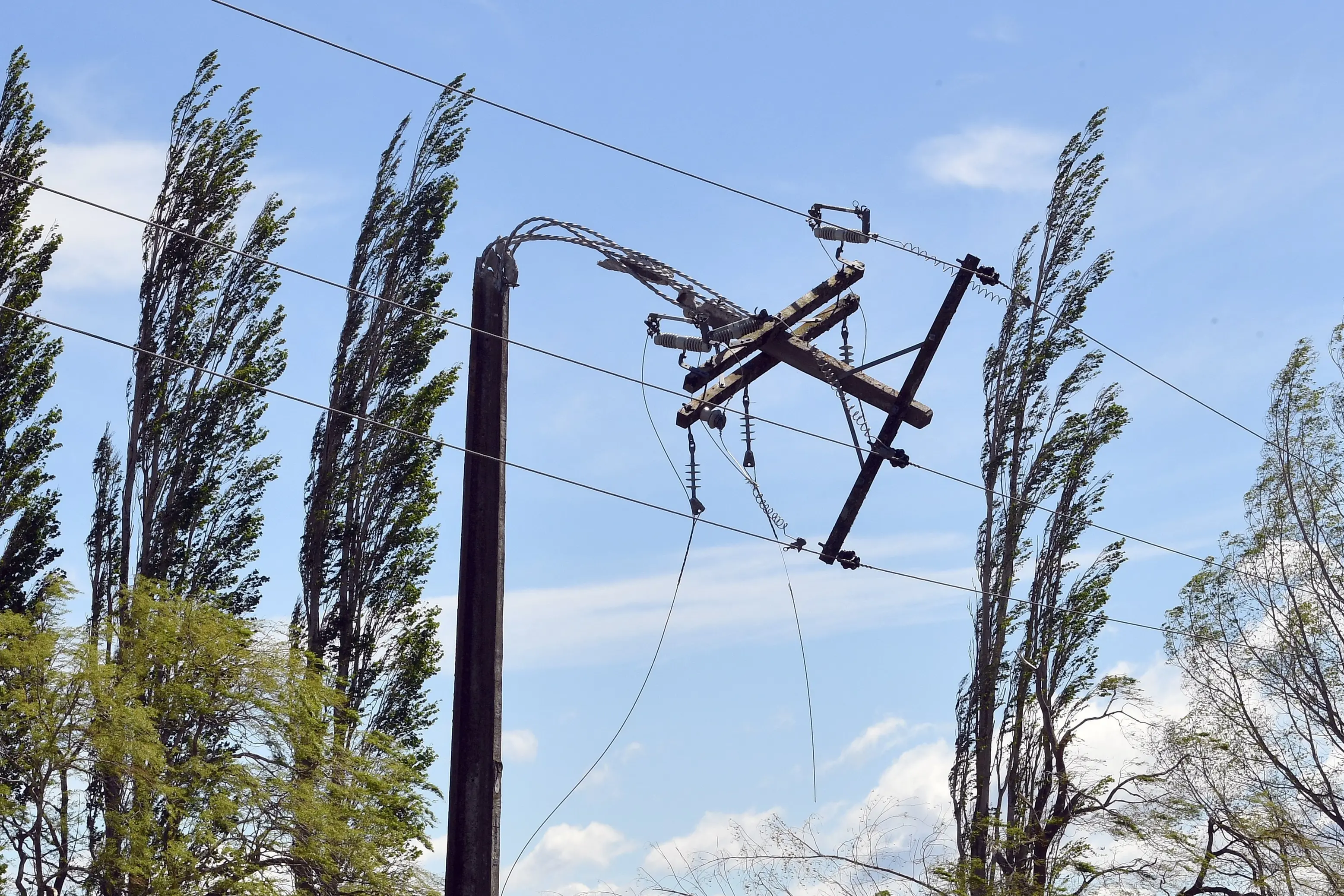
Wild temperature swings and more periods of stormy weather with heavy rain and unusually strong winds are expected to hit the southern regions this spring, as the strongest El Nino conditions in recent history take hold in New Zealand.
Earth Sciences New Zealand forecasting principal scientist Chris Brandolino said El Nino conditions were persisting in the tropical Pacific atmosphere and ocean, and had strengthened considerably since midwinter.
More recently, its impacts on New Zealand’s weather patterns had started to be felt and were expected to persist over the next three months.
“Air flow patterns are expected to favour a prevailing westerly direction, characteristic of El Nino conditions, with a tendency towards southwesterly flows from October.”
On the West Coast, Southern Alps and foothills, inland Otago and Southland, temperatures were most likely to be near average and along coastal Otago they were about equally likely to be above average or near average, Mr Brandolino said.
“Despite the lack of cold signals for the season, occasional cold outbreaks are expected to occur throughout spring.
“Spring temperatures are expected to be even more variable than usual, with large swings between warm and cold and spells of unusually windy weather.”
Rainfall totals, soil moisture levels and river flows on the West Coast, Southern Alps and foothills, inland Otago and Southland were very likely to be above normal, he said.
“Spring is likely to see more periods of stormy weather, including heavy rain and unusually strong winds.”
Along coastal Otago, they were about equally likely to be below normal or near normal.
“Heavy rain events associated with low pressure systems from the north are expected to be relatively less frequent during the outlook period, and potentially beyond,” he said.
“Instead, the highest risk of notable weather systems will originate from the Tasman Sea or Southern Ocean, with heavy rain events more likely for the south and west of the country.”
Parts of the Southern region — particularly coastal Otago — experienced below normal rainfall during winter, which has led to reduced groundwater recharge.
“During spring, many of these regions are likely to experience reduced rainfall, more frequent dry spells and enhanced drying of soils and vegetation, creating challenges for water-reliant sectors.”
Warmer-than-average subsurface ocean temperature anomalies had continued to strengthen and expand across the tropical Pacific, providing clear support for El Nino to intensify further and reach the “very strong” category early in the month, Mr Brandolino said.
“Peak El Nino conditions are most likely to occur either in late spring or early summer, with the potential for this event to have significant impacts.
“It is likely to peak as one of the strongest in recent history, as anticipated over the last few months.
“The event is already comparable to 1997 and has shown the strongest warming trend on record.
“El Nino is expected to influence spring weather patterns, favouring periods of active westerlies, unusually windy conditions and greater temperature variability.
“While these are typical spring features, they are expected to be more pronounced in 2026.”
The extent and persistence of those conditions would depend on nearby high pressure systems, with the greatest risk of nationwide unsettled weather expected during mid-to-late spring, he said.
john.lewis@odt.co.nz