
PHOTO
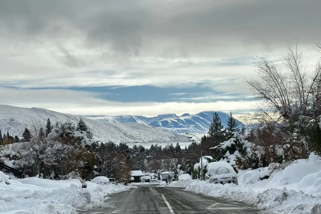
A cold snap gripping the country will intensify tonight and tomorrow, forecasters warn, with double-digit negative temperatures on the way for part of the central South Island.
Support agencies are seeing more demand for blankets and hot food, and Transpower is warning high demand could lead to energy shortfalls.
MetService meteorologist Alwyn Bakker said the southerly fronts that brought snow to Christchurch, Dunedin and Wellington on Tuesday had given way to a ridge of high pressure bringing still, clear and icy cold conditions across the country.
"What that's doing is keeping clouds away overnight, letting all of that heat that's come up from the southern ocean - and there wasn't really a lot of it to start with - escape... so that means that we're getting even colder on top of what we've already had," he said.
"There's going to be plenty of negative temperatures around for the next couple of nights."
Mount Cook Village was forecast to drop to -10C on Thursday morning, while Christchurch was expected to reach -5C, he said.
In the North Island, Hamilton and Taumarunui could see lows of -4C and -6C respectively.
"It's definitely colder than average in a lot of places. We have some places that are reasonably close to getting into their top-five coldest for the month records," Bakker said.
Helping with the cold
Support agencies in main centres told RNZ they were seeing more people in need of help.
Christchurch City Mission missioner Corinne Haines said outreach workers had been checking on rough sleepers and delivering blankets, hygiene supplies, socks, gloves, sleeping bags and mats to sleep on.
There were as many as 300 people either couch-surfing or living on the streets in Christchurch, and this week the weather had shifted from wet to freezing cold, she said.
"The cold alone is not so bad in some ways, because you can put on a jacket and sleeping bag and socks and gloves and you can be relatively warm. But once you get wet that is a big problem. Once their clothing or their sleeping bags get wet, it's very difficult for them to get it dry," Haines said.
Grey Power Central Otago president Lorraine McKeown said she was worried elderly people were having to choose between staying warm or having enough to eat.
"The winter subsidy - that is now being used for essentials. It's being used for groceries, for petrol and necessities and then there may be nothing left over for the actual power... what it's supposed to be used for," she said.
McKeown - who lived in Alexandra - said it was definitely the coldest winter in recent memory.
"I've been here 10 years and for me this has been one of the longest winters with fog and frost all day," she said.
Power concerns
The cold snap drove the country's electricity consumption to an all-time record of more than 7200 megawatts on Wednesday morning.
Major Electricity Users Group executive director Karen Boyes said industrial users were being asked to prevent a potential power shortfall on Friday morning, which had been flagged by Transpower.
That could mean shifting production away from peak times or generating more of their own power, she said.
"The key thing for most customers is it's not signaling an outage. It's saying things are tight. So the sector's taking all the steps that it should, and can, take to make sure that when we get to that [Friday] morning peak that we're the best prepared," Boyes said.
Transpower executive general manager operations Chantelle Bramley told Checkpoint there could be another record demand for electricity tomorrow morning, "and we do expect similar levels on Friday morning, as well."
Bramley said one of the challenges of the cold weather was that while it drove electricity demand higher, it also came with quite stable weather.
"That means that a lot of the wind generation that we usually have available in our power system isn't available. So that's why we need to co-ordinate a response with industry to make sure that other generation is made available to the system.
"And what we often find in times like this, where we have lots of hydro in the system - our hydro lakes are really full, they're sitting at above average now - that means that our thermal units may not be running as frequently, due to that abundant renewable supply, so we need this time with industry to co-ordinate a response."
She said the alerts were not common, and the last previous one had been issued by Transpower in May 2024.
MetService said the weather should resume more typical winter patterns by the weekend with a return to positive temperatures in main centres.
