
PHOTO
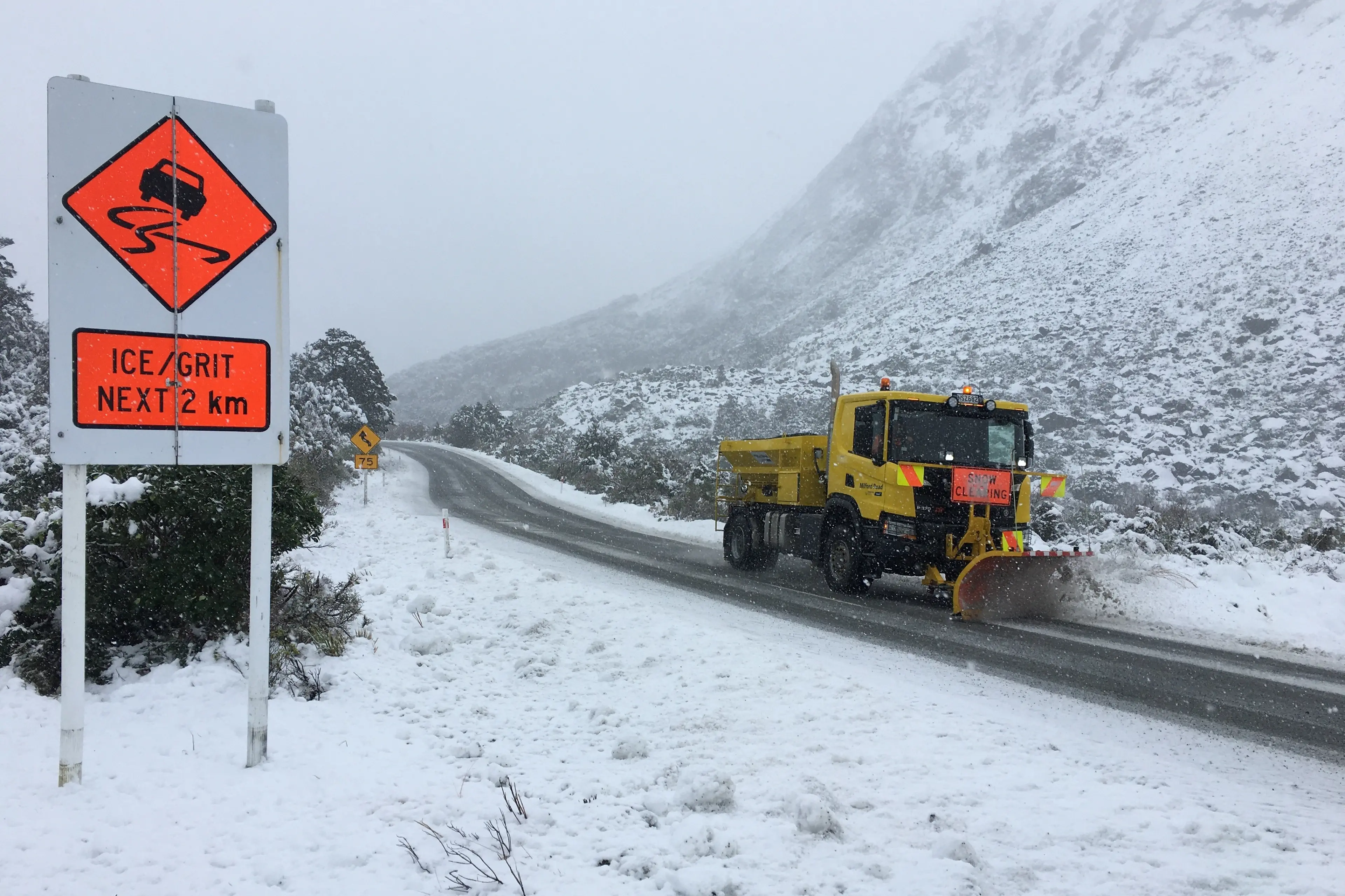
MetService is warning of snow on the South Island’s alpine passes as a front brings a cold snap to parts of the country.
Pleasant conditions in the South over the past two days will from Wednesday give way to rain, which will move over most of New Zealand on Thursday.
MetService said rain was expected to reach Fiordland during the day before spreading further north up the West Coast, and into Southland and Otago by Wednesday evening.
By Thursday, the front was forecast to push northwards across the country, bringing rain to most regions. In its wake, a southwesterly flow was expected to bring cooler, showery conditions through Friday.
MetService on Wednesday issued the following road snow warnings:
Lindis Pass (State Highway 8)
Forecast: Three hours from midnight Wednesday to 3am Thursday. Brief snow showers Thursday morning and around 1cm could accumulate above 900 metres.
Crown Range Road
Forecast: Four hours from 10pm Wednesday to 2am Thursday. Rain this evening is expected to turn to snow, then clear overnight. 1 to 2cm may accumulate about the summit, with lesser amounts above 600 metres.
Milford Road (SH94)
Forecast: Four hours from 8pm to midnight Wednesday. Heavy rain this evening is expected to turn to snow, then clear around midnight. Two to 4cm may accumulate above 800 metres, with lesser amounts above 600 metres.
Arthur's Pass (SH73)
Forecast: Three hours from 5am to 8am Thursday. Brief snow expected Thursday morning and around 1cm could accumulate above 800 metres.
Porters Pass (SH73)
Forecast: Seven hours from 5am to noon Thursday. A period of snow is expected Thursday morning. Three to 5cm could accumulate above 800 metres with lesser amounts to 600 metres.
— Allied Media