


At the Remarkables skifield, near Queenstown, worker Ross told viewers: "Here we are, the 13th of April, and it's snowing.
"The forecast says maybe 10 to 15cm of snow through this next (24-hour) period."
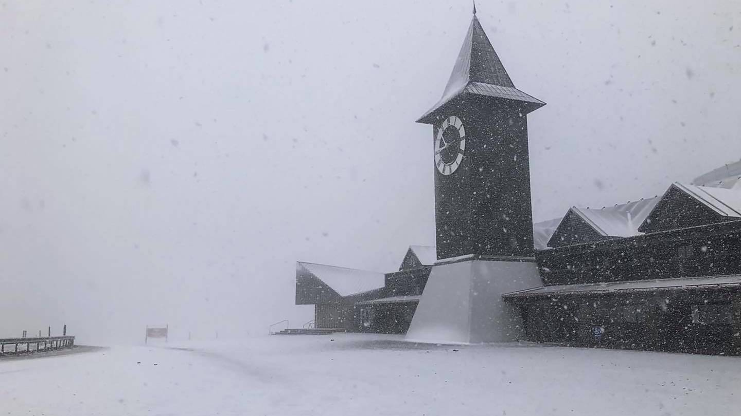
Near Wanaka, staff at Cardrona skifield posted images on social media showing a heavy dump.
HUNDREDS OF LIGHTNING STRIKES
Meanwhile, 541 lightning strikes have been recorded near or over the West Coast since Monday, MetService said.
A band of rain in the deep south is set to move slowly north and will bring showery conditions.
Showery conditions were also expected to continue on the West Coast.
A heavy rain warning remains over the ranges of Westland, south of Otirā, and was expected to last until about 3pm today.
"Expect 30mm to 70mm of rain on top of what has already fallen, with the largest accumulations likely north of the glaciers," MetService said.
A heavy rain watch is in place for the ranges of Buller and Westland, from Otira northwards, which could bring thunderstorms until 6pm today.
Unsettled conditions are expected throughout the week, with strong, showery westerlies for many places.
On Thursday, there is low confidence of severe northwest gales over Fiordland, Southland and Clutha, extending to Otago and Canterbury on Friday.
Also on Friday, there is low confidence that rainfall accumulations will meet warning criteria over Fiordland and Westland.
- ODT Online and NZ Herald


