PHOTO
An Antarctic blast has swept up the South Island, bringing freezing temperatures, dumping snow and grounding Air New Zealand flights.
Snow is blanketing much of the south, leaving numerous highways closed and even falling to sea level in Christchurch overnight and on Tuesday morning.
A number of arriving flights into Christchurch from Invercargill, Queenstown and Wellington have been cancelled due to the adverse weather.
Heavy snowfall watches are in place for the Canterbury Plains north of the Rakaia River, including the Banks Peninsula and Kaikoura south of the Clarence River.
Heavy snowfall warnings are in place for the Canterbury Plains north of the Rakaia River, including Banks Peninsula and Kaikōura south of the Clarence River.
As well as for Southland, north of Nightcaps and east of Wyndham, Dunedin, Clutha and Central Otago.
A rare thunderstorm snow risk is also growing in the Banks Peninsula, Port Hills and Christchurch City.
MetService meteorologist April Clark said the thunderstorm could bring high-intensity snowfall and make driving hazardous.
She said it is being caused by the close to freezing temperatures and unstable airflow.
The polar blast brought snow to sea level in parts of the south yesterday, as well as huge seas and gales laced with a bitterly cold -20C windchill.
An active cold front and south-to-southwesterly winds will track north across the remainder of the country, with numerous weather warnings in force.
Heavy snow was possible in Taihape, around the Tararua Range and Banks Peninsula on Tuesday.
The wild weather has disrupted travel in both islands – with the Interislander ferry cancelling all sailings for today, while Air New Zealand cancelled 33 flights in and out of Dunedin, Invercargill and Queenstown yesterday.
A road snowfall warning is in place for the Napier-Taupō Rd (until midday Tuesday), Desert Rd (until 5pm Tuesday) and Remutaka Hill Rd (until 4pm Tuesday) in the North Island.
MetService forecaster Gerard Bellam said snow had fallen to low levels across the Southland and Otago, with blizzard-like conditions in alpine areas.
The polar outbreak had left snow falling down to sea level in Christchurch.
The bitterly cold air mass was now continuing on its northern track, bringing with it severe gales and large seas.
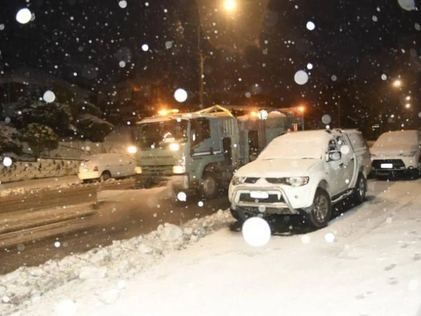
Snow and ice in Queenstown yesterday forced some drivers to carry chains and motorists across the Wakatipu Basin and in Wanaka were urged to watch for rockfall.
Yesterday morning, Treble Cone was coated in 15cm of snow on the upper slopes and Cardrona had received around 10cm.
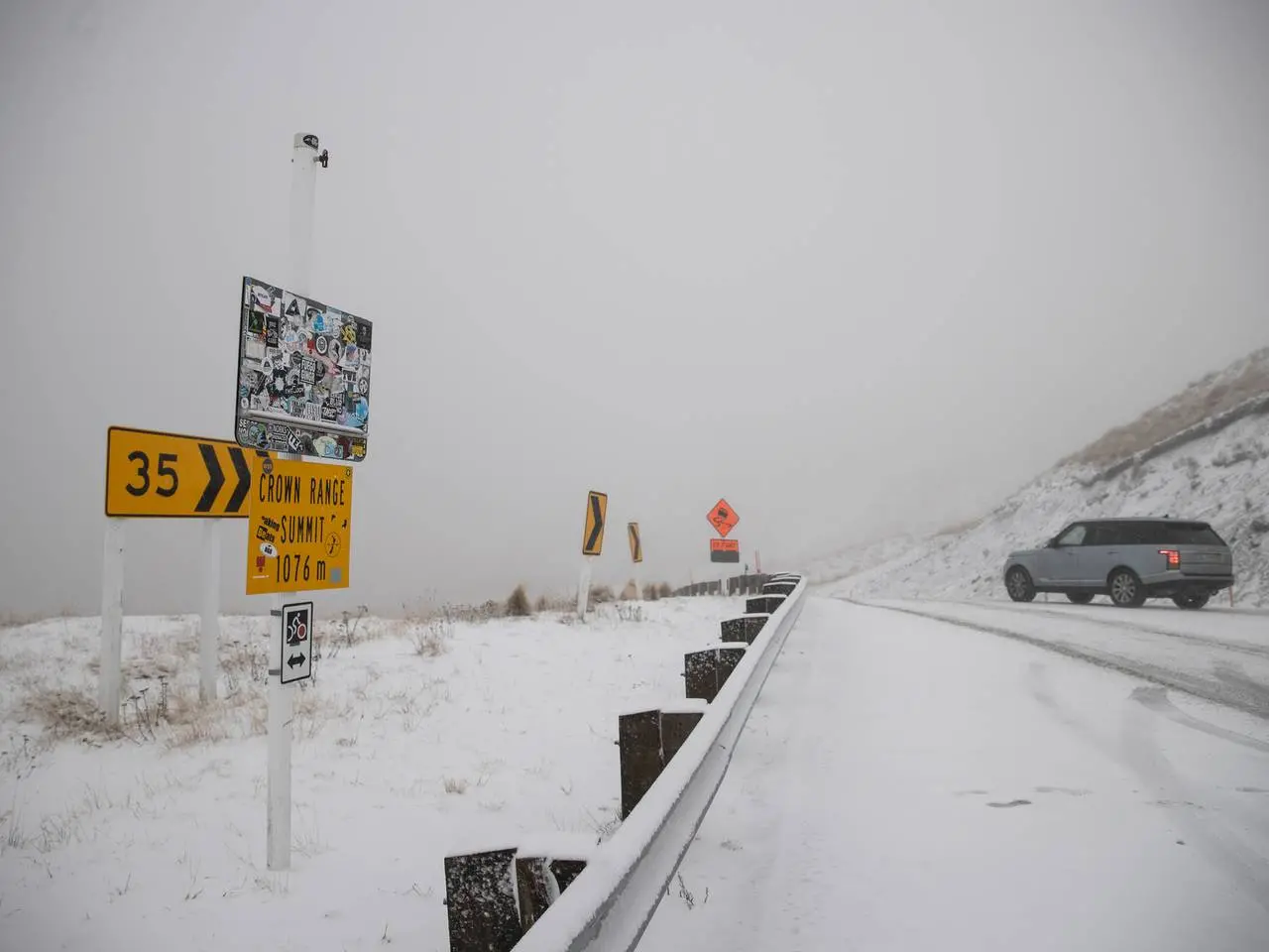
Moke Lake in Queenstown, the Crown Range Summit and Ben Nevis Range were coated in snow.
Meanwhile, Waka Kotahi has urged motorists driving on SH11/Desert Rd and SH5 Napier- Taupō Rd today to prepare for winter driving conditions, including snow and ice.
Waikato system manager Cara Lauder said further road closures were possible and motorists should plan ahead and drive prepared with a spare tire, charged cellphone, blankets, snacks and a bottle of water in case they break down.
"Plan ahead, allow extra time for your journeys and drive to the road and weather conditions. Maintain a greater following distance between your vehicle and the one in front, slow down and be prepared for unexpected hazards."
SH94 Milford Rd and SH87 between Kyeburn and Outram were both closed overnight while in the North Island SH56 between Opiki and the Manawatū River Bridge was closed due to flooding.