
PHOTO
The El Nino building in the Pacific will kill 450,000 people, according to a new report. So, it’s huge. Climate scientist Dr Jen Purdie sheds some light ahead of a talk next week.
Q: What is an El Nino?
El Nino and La Nina are opposite phases of a climate pattern (the El Nino-Southern Oscillation, or ENSO) that occurs when the trade winds that blow across the equator weaken (El Nino) or strengthen (La Nina), either causing warm surface water to pile up in the eastern Pacific (La Nina) or slosh back across the equator towards America (El Nino). This cycle from one extreme to the other takes two to seven years to complete, and in the different phases it moves atmospheric circulation features around, particularly around the Pacific, causing changes in the weather.
Q: We’ve had many El Ninos before, but there appears to be particular concern about this one. Why is that?
ENSO is measured by looking at changes in central Pacific sea surface temperatures in a region called Nino 3.4. When the Nino 3.4 region warms up, it means an El Nino is on the way. When it cools down, it means we’re heading for a La Nina. This year’s Nino 3.4 region temperatures are already hotter than ever before, and the El Nino isn’t expected to peak until the middle of next year. Prediction agencies have said this will be the strongest El Nino on record, so some are calling it a “Super” El Nino.
Q: What will it mean for Aotearoa New Zealand?
We will be under the influence of El Nino for the next six months at least. Under strong El Ninos New Zealand generally has stronger west to south-west winds, is drier in the eastern side of the country and wetter in the west, and temperatures are generally cooler than average everywhere. So, that’s generally what we can expect, but conditions can vary a lot, and a very strong El Nino doesn’t necessarily mean we will get significant changes to our weather, just that it is more likely.
Q: What will it mean for other places?
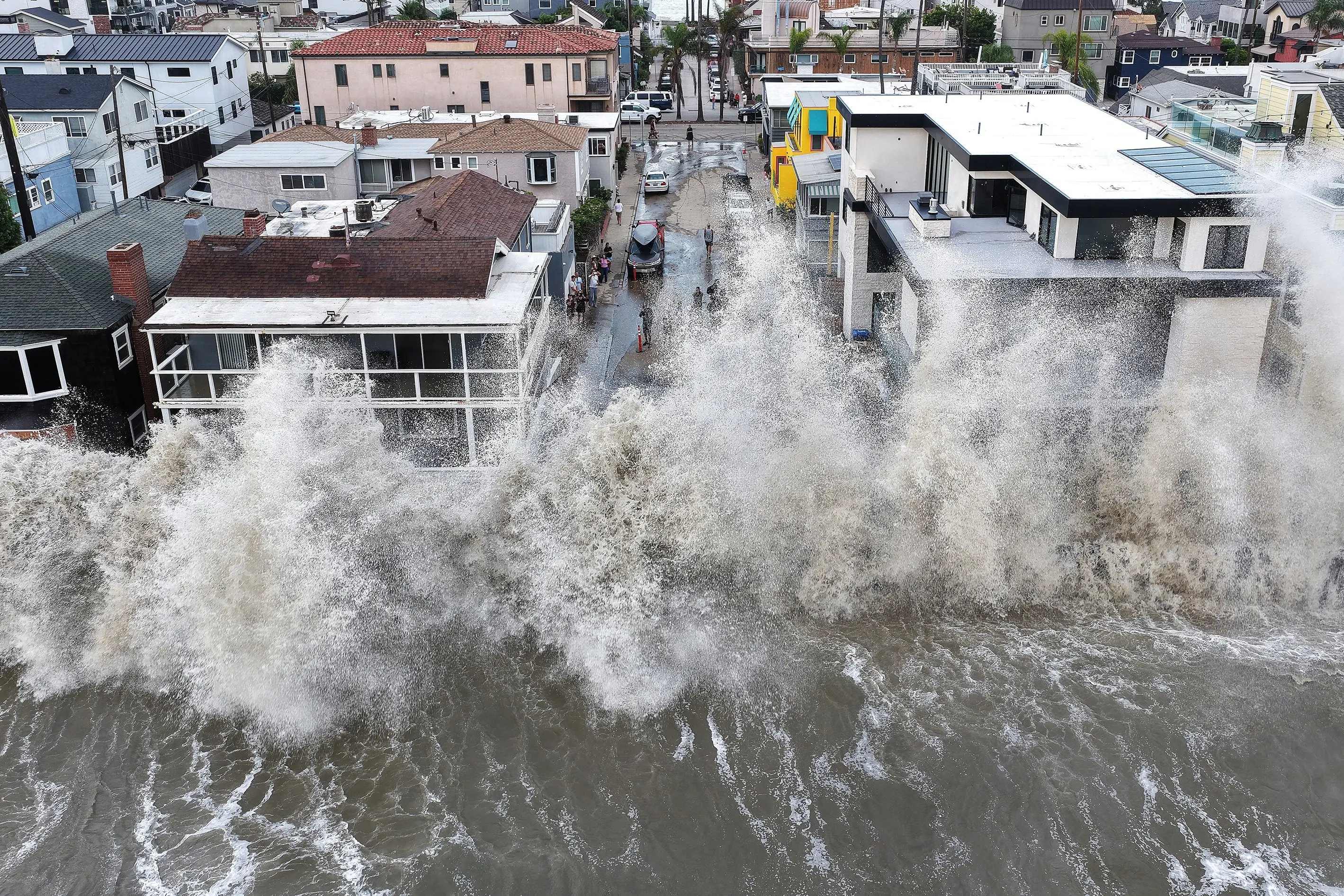
The influence of ENSO is strongest closer to the equator, and is felt more strongly in the Pacific than in other places. Australia generally gets drier than normal conditions in the eastern half of the country in an El Nino, and warmer temperatures everywhere except the far north. However, El Nino also generally brings weaker monsoon rains to India and South Asia, and drought and increased wildfire risks in Southeast Asia. On the west coast of North and South America the main effect is increased rainfall and flooding, and central Pacific islands such as Hawaii can experience an increase in tropical storms and hurricanes, so these places are increasing their preparedness to deal with these events if they occur.
Q: What’s it got to do with climate change?
Climate change is making global temperatures increase rapidly, so the old temperature thresholds that tell us we’re in an El Nino are crossed more easily now. Consequently, scientists have started declaring an El Nino by comparing the ocean temperatures in the central Pacific to those around it, as a relative measure. But the significant warming of the central Pacific ocean during an El Nino heats up everything near it, raising air and land temperatures over a wide area as well. So, global air temperatures are likely to take a leap upward this year, and when the El Nino finishes they’re unlikely to return all the way back to what they were. So, the El Nino unfortunately causes a step up in global temperatures, enhancing climate change.
The talk
The Super El Nino — what does it mean for us? A public talk by climate scientist Dr Jen Purdie.
Tūhura Otago Museum, Hutton Theatre,
Thursday, October 1, 5.30pm.
Free, but booking is essential at: https://tuhura.nz/whats-on/the-super-el-nino-what-does-it-mean-for-us