
PHOTO
Dunedin was treated to a rare gem of a winter’s day yesterday but, unfortunately for the city, the blue skies will not be sticking around.
After wet weather lashed Dunedin on Friday and Saturday, sunny skies appeared for much of yesterday.
However, MetService meteorologist Devlin Lyndon said the good weather would not continue later in the week.
Today's blue skies and updated fine forecast for tomorrow will be welcome for southerners, after initial predictions of overcast and drizzle throughout the day.
Wednesday was expected to be fine, but the temperature would start to cool down.
By Thursday, Dunedin was "likely going to be into the negatives in some sheltered areas", and further afield in Otago it would be looking "nice and frosty".
Dunedin would have some cloud starting to build and showers would hit from off the coast in the afternoon, he said.
"Fortunately, it looks to be clearing off relatively quickly through Friday for some more fine spells into the weekend."
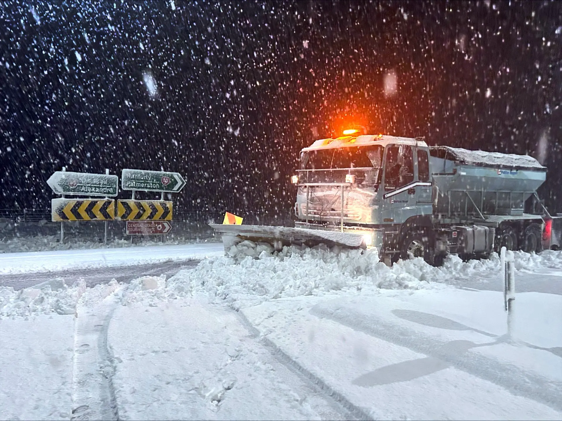
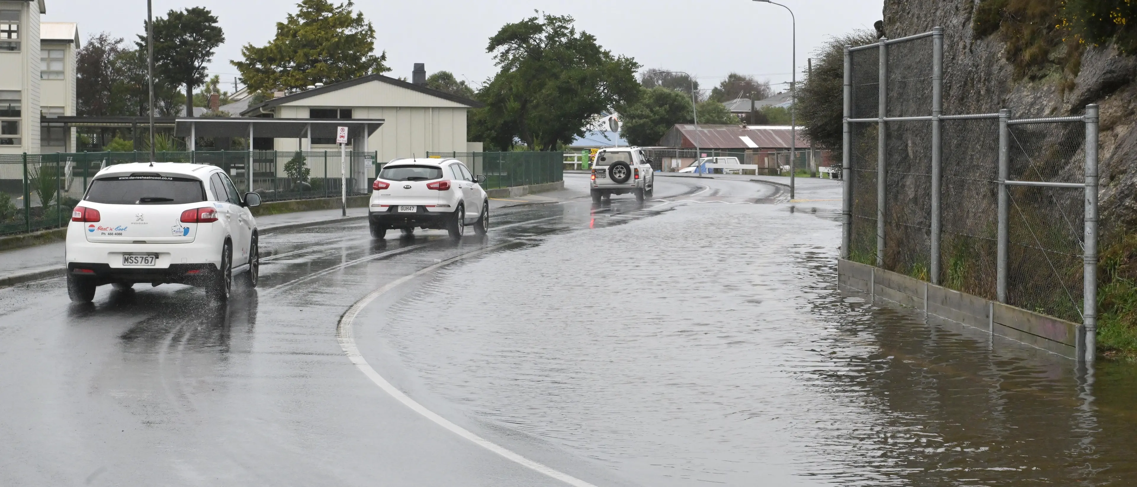
The South had its fair share of weather-related chaos over the weekend as an orange rain warning closed road across coastal Otago and snow made some inland highways impassable.
Thick snow lay in parts of the Maniototo and Central Otago, coupled with black ice and areas of flooding.
Mr Lyndon said snow fell to about 400m in Central Otago and the Queenstown Lakes area.
Skifields reported good snow — Cadrona getting 29cm, Coronet Peak 20cm and Treble Cone more than 25cm.
On the coast, Toko Mouth in Clutha recorded 117.6mm of rain over Friday and Saturday.
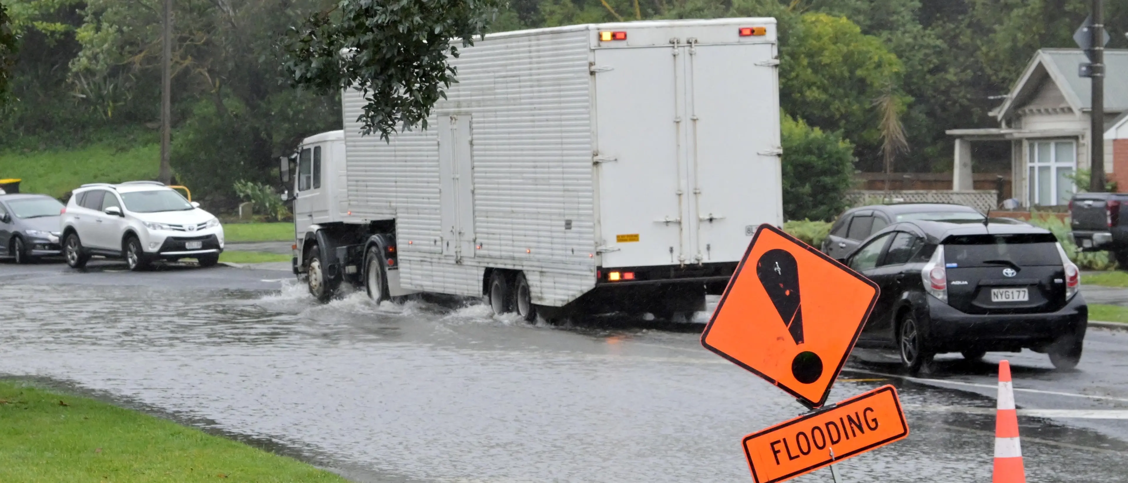
Dunedin had 80.8mm of rain and South Dunedin 69.2mm.
"The rain was really localised ... between Gore to Dunedin, and also up to Waitati as well."
Snow and heavy rain warnings for Otago, Clutha and Southland were lifted shortly after 8pm on Saturday.
A Central Otago District Council spokeswoman said there was still "a lot of snow" in the Maniototo and Manuherikia yesterday and there were also some isolated areas of flooding and snow in the high country.
Mr Lyndon said the skifields would most likely see some more snow in coming days, but snow should not reach the towns.
Roads were gritted and the Danseys Pass road was closed.
The weather also affected the operation of Naseby’s water treatment plant, resulting in a conserve-water notice being issued at 12.30pm yesterday.

Contractors were working to restore water production as quickly as possible, the council said.
Snow fell on the Crown Range road but was quickly cleared, and the carry-chains requirement was lifted yesterday morning, a spokesman for the Queenstown Lakes District Council said.
"That being said, it’s still important to carry chains and know how to fit them when travelling [the Crown Range] over winter."
A slip on Chaslands Highway in South Otago on Saturday blocked a lane, but it was reopened yesterday.
Last night, all state highways in Otago and Southland were open, but NZ Transport Agency Waka Kotahi was advising drivers take caution on some routes.
In the Dunedin area, rivers and creeks rose, but none breached their banks.
Portobello Rd between Company Bay and Broad Bay was closed because of slips, but also reopened yesterday afternoon.
Old Brighton Rd, Neidpath Rd between Dalry and Patrick Sts, and Gladfield Rd remained closed due to blockages and flooding.