
The council is in the early stages of the project which started in April to take stock of the region's biodiversity.
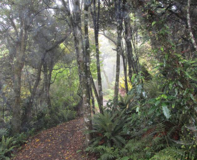
A team of scientists is collating information on the habitat of indigenous fauna across the region and will map current and potential vegetation in terrestrial environments, including wetlands.
It will also gather information on freshwater and coastal and marine ecosystems.
Council senior policy analyst Rachael Brown said the work was "very important" for the forward planning of the council's biodiversity and biosecurity work.
"This will help us to identify areas for active management of biodiversity that will bring the greatest return for investment."
It would also help the council compare its habitats nationally as the methodology was used across the country.
"The Otago project differs in that it is also mapping significant habitats of indigenous fauna, including significant habitats of terrestrial birds, bats, lizards, invertebrates, and of coastal and marine indigenous fauna."
Dr Kelvin Lloyd, of Wildland Consultants, will lead scientists and academics in the work which will cost the council $122,700.
The best Otago-wide mapping available now is the national land cover database, but it does not have the same level of detail.
The project is part of the council ramping up biodiversity spending which this year rose to $3,761,000, from $1,801,000 last year.
Council deputy chairwoman Gretchen Robertson said she was "so excited" to see the council take more of a role in the area.
"It's well recognised we're in the midst of a biodiversity crisis. The key to looking after Otago's important species and habitats is knowing where, what and how many indigenous ecosystems remain."
The mapping would add to the council's projects like its EcoFund community funding, wilding trees partnerships, and regional pest plan.
"We need to step back and really think about how best to retain our special treasures. Understanding what we've got and what our priorities are is a crucial first step.
"Good science will make that job so much easier."
Related Stories


Comments
ORC is out of control using our rates which continually increase for questionable "projects". Let the owners of their land count their trees if it is so important. Don't tax us further! Vote them out!