
PHOTO
Snow brought the chill and now Jack Frost is delivering some more thrills over the next few days.
Police and the Dunedin City Council have both advised caution, with treacherous conditions predicted for Wednesday and Thursday.
The first real snowfall across the city took place in Dunedin on Tuesday, with the snow-covered hill suburbs contributing to up to 20 single-vehicle accidents.
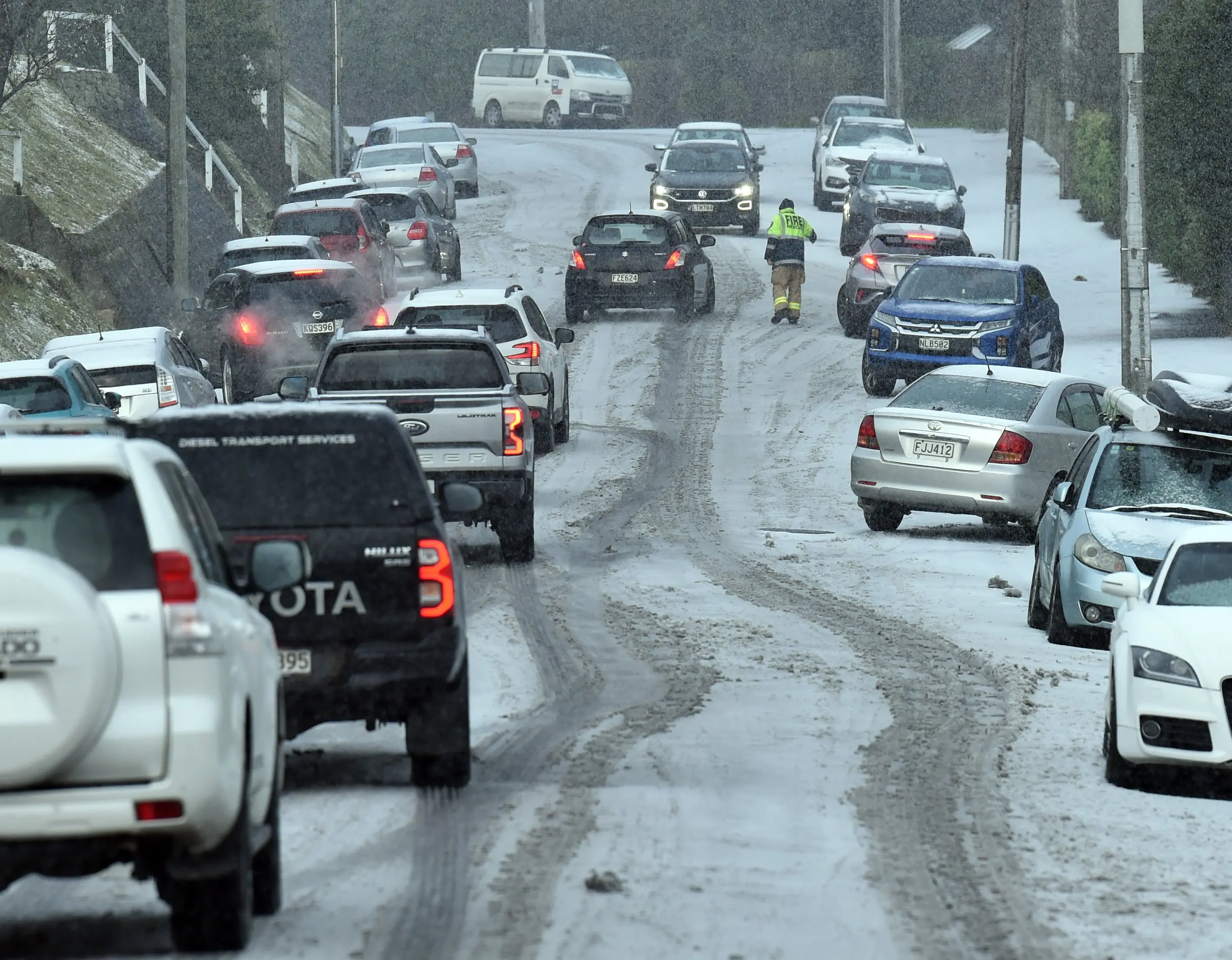
Roads were closed including State Highway 85, which reopened late morning while the northern motorway reopened early in the afternoon. Three Mile Hill Rd and State Highway 87 were open again.
The snow may have stopped falling in most areas, but the cold temperatures are expected to linger.
MetService meteorologist Braydon White said that following Tuesday’s snow, the weather now posed “a different set of dangers” such as very slippery surfaces with unmelted snow and ice.
“If anything, it’ll be even colder over the next couple of days than it has been today.”
He said temperatures were expected to drop to 2˚C in Dunedin on Wednesday and to 0˚C on Thursday.
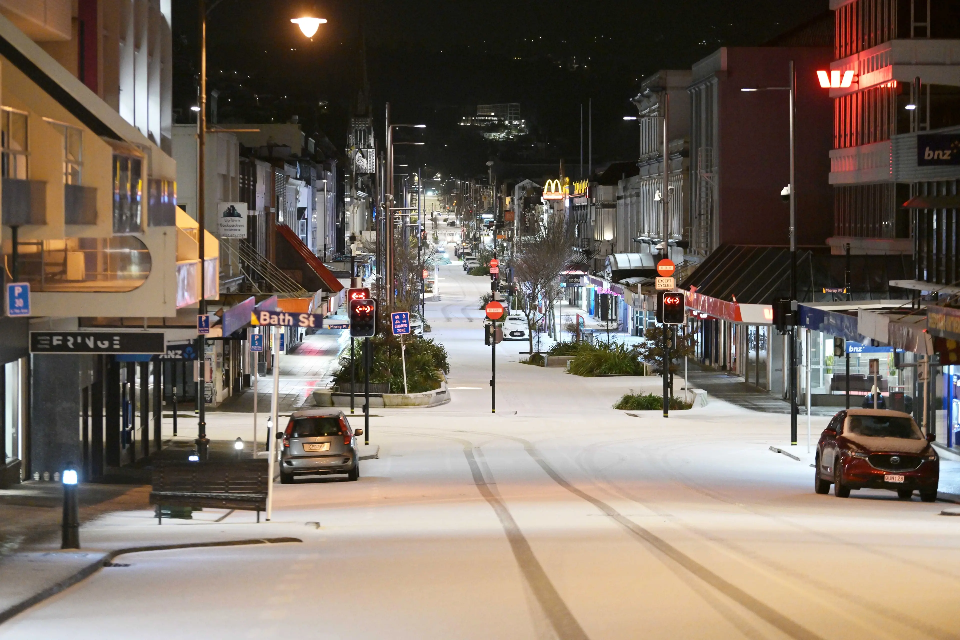
Dunedin Airport was expected to drop to -3˚C on Wednesday morning, and -6˚C on Thursday morning
“The likes of Alexandra is -5˚C and then -6˚C on Thursday, and then for the Southern Lakes and Southland there will be lots of -3˚Cs to -5˚Cs around the place.
“Mt Cook Village will be down to -11˚C.”
Frosty start for inland areas
It’s a frosty start for inland parts of Otago, Canterbury and the Queenstown Lakes area.
MetService meteorologist John Law says the central South Island was experiencing the coldest temperatures on Wednesday morning.
Canterbury’s Aoraki/Mount Cook area recorded -9°C and Tekapo -8°C.
In Queenstown, temperatures were as low -8°C in Arrow Junction and Hāwea Flat, -7°C on Malaghans Road and in Wānaka, and -4°C in Glenorchy
A spokesman for the Queenstown Lakes District Council said fresh CMA (de-icing agent) had been applied across the network.
"Whilst roads are mostly dry, we recommend taking extra caution in shady areas and on bridge decks come daybreak.”
Grit has been reapplied to shady spots on the Crown Range linking Queenstown and Wānaka, and ice was visible on outer roads including the Haast Pass (State Highway 6) and Lindis Pass (SH8).
"The colder weather is expected to stick around for a couple days, so be ready to defrost those windscreens, warm up the engine, test those brakes and stay warm!”
In Central Otago, temperatures ranged from -5°C to -1°C first thing, with a combination of wet and dry roads around the district.
Caution was advised in the Manuherikia and Ida Valley as ice was likely after snow showers on Tuesday, a spokeswoman for the district council said.
The Danseys Pass Road is closed from the gates past the Danseys Pass Hotel.
Extra care needed in coming days
The low temperatures were being caused by a high pressure system sitting over the South Island, Mr White said.
Much of the snow left on the ground from Tuesday may not melt overnight and could then refreeze.
He recommended people walking or driving to work over the next few days take extra care — especially early in the morning.
Mr White said there was a high risk of black ice, not only in Dunedin but across the southern regions as a whole.
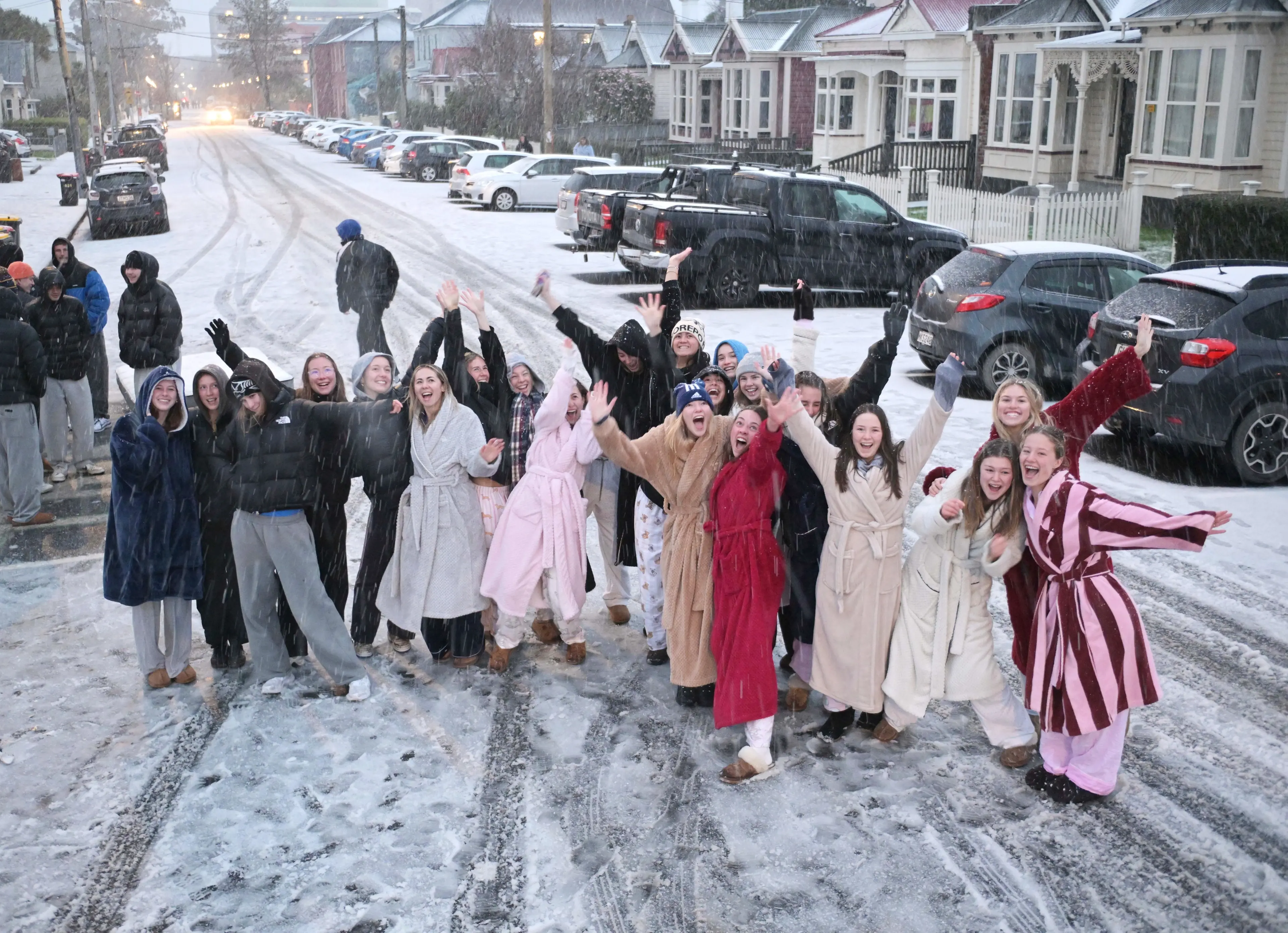
Dunedin City Council transport group manager Jeanine Benson said contractors would be out overnight, monitoring conditions and responding as needed.
Drivers needed to do their part by avoiding unnecessary travel and, if you have to be on the roads, allowing extra time and driving carefully.
All schools were closed yesterday as was Otago Polytechnic, while the University of Otago advised staff to work from home and avoid travel unless necessary.
Buses were also delayed.
Conditions on the hills worsened considerably just after dawn and many drivers were forced to abandon their cars on the side of the road.
Senior Sergeant Mike Crawford said police and other emergency services were kept busy in the morning responding to a number of crashes and incidents caused by the conditions.
Thankfully, no injuries were reported, but police urged motorists to carefully assess the risks before travelling.
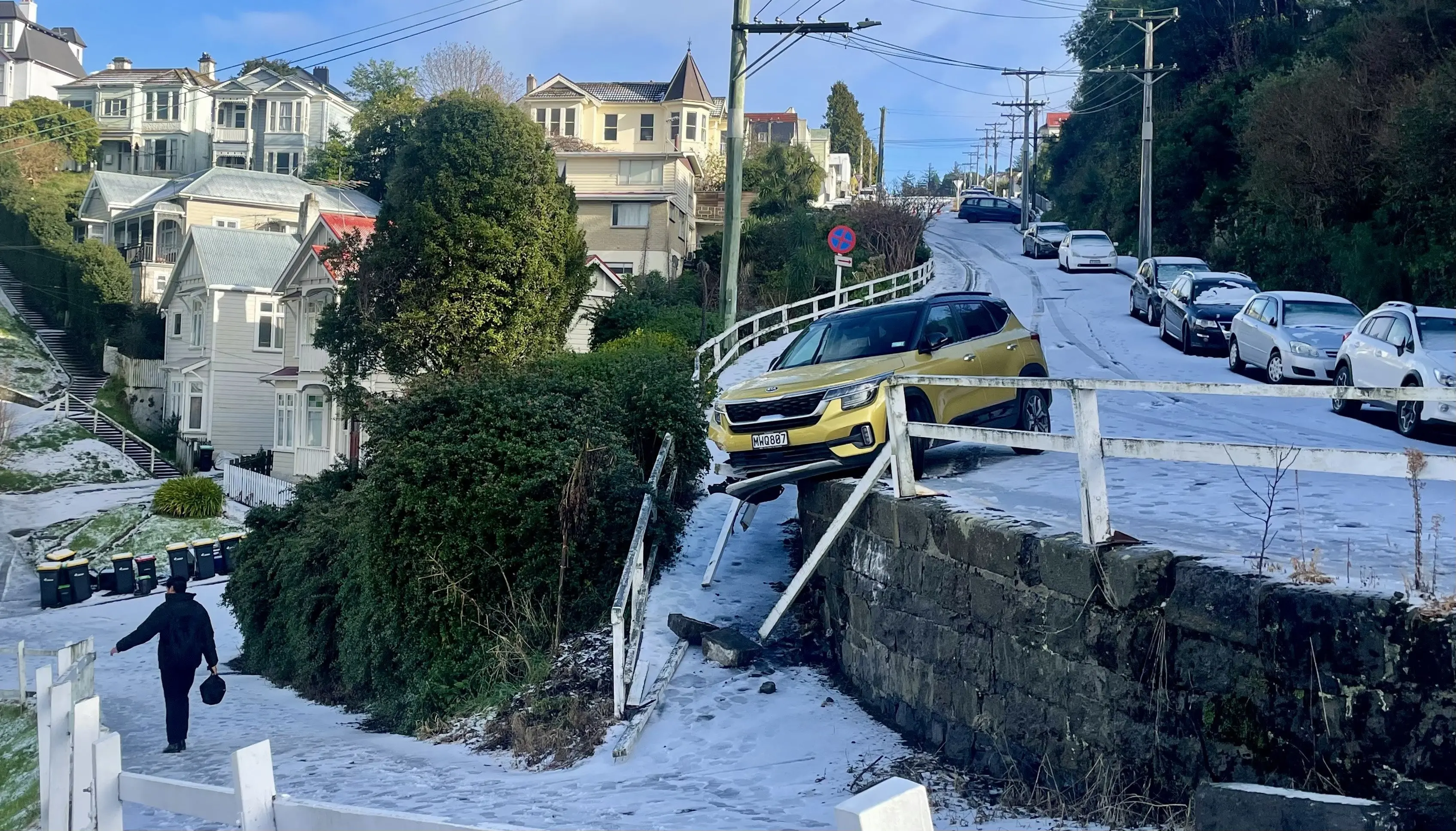
“Our advice is simple: if roads are icy or snow-covered, the safest option is to delay travel until conditions improve. If travel is unavoidable, take extra care, reduce your speed, allow plenty of time for your journey and increase your following distance from other vehicles,” Snr Sgt Crawford said.
A Mosgiel commuter said she was stuck on the Southern Motorway for an hour near Abbotsford, and all up it took more then three hours to get to Dunedin.
Becca Isbister thought there must have been a huge accident covering both lanes, but when she got nearer to Lookout Point it seemed to be just a couple of cars that had lost traction.
“Two police cars were there, but there was essentially no traffic management,” she said.
She felt there could have been better communication from the NZ Transport Agency Waka Kotahi (NZTA).
An NZTA spokesman said it worked with emergency services as best it could in the circumstances to keep people safe and restore traffic movement after a truck had blocked lanes in challenging conditions on the motorway.
Rather than allowing certain vehicles through, NZTA opted to close the road as it was deemed unsafe. A stretch of the motorway, heading north, was closed for 40 minutes from 7.40am.
“These situations can be fluid and fast-moving, but we use all available channels to inform people of a state highway closure or restrictions.”
He praised the patience shown by Dunedin drivers.
— additional reporting John Lewis and Allied Media