The 71m, 3834-tonne American research vessel the RV Marcus G. Langseth is docked at the Fryatt St wharf after spending a month in the Southern Ocean scanning the ocean floor. Photos: Peter McIntosh : Visiting US research ship weathered storms for science
The 71m, 3834-tonne American research vessel the RV Marcus G. Langseth is docked at the Fryatt St wharf after spending a month in the Southern Ocean scanning the ocean floor. Photos: Peter McIntosh : Visiting US research ship weathered storms for science
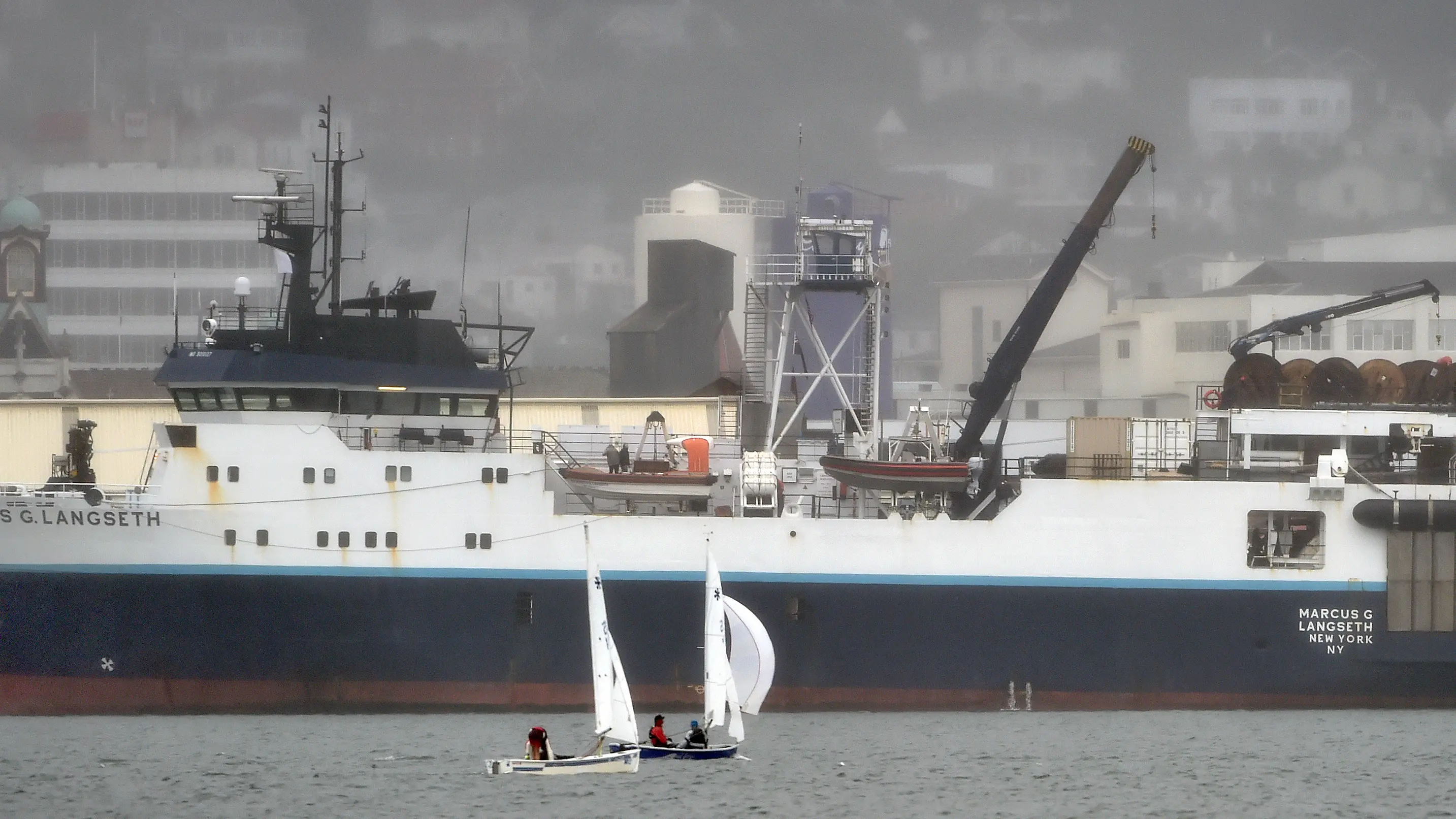
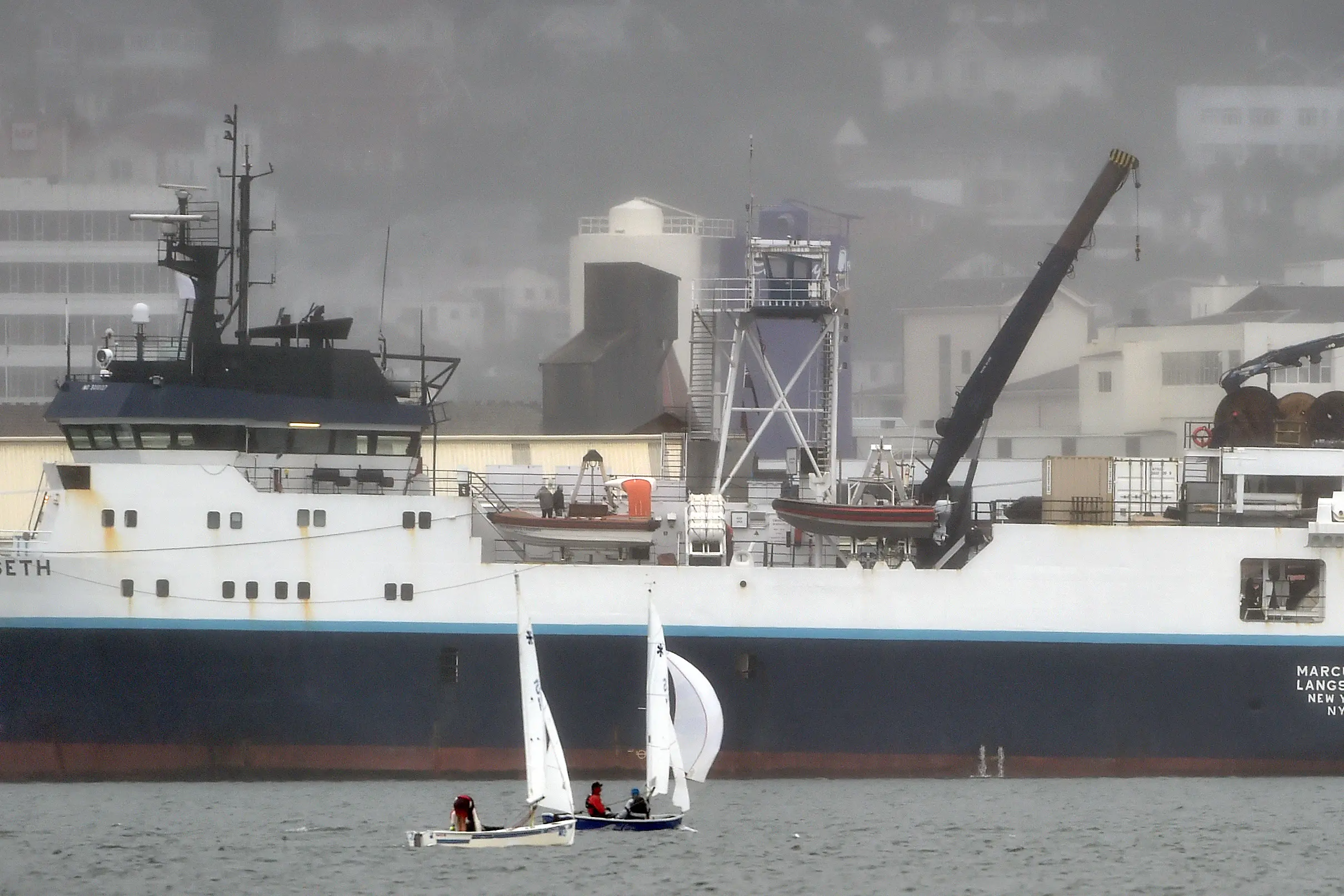
The 71m, 3834-tonne American research vessel the RV Marcus G. Langseth is docked at the Fryatt St wharf after spending a month in the Southern Ocean scanning the ocean floor. : Visiting US research ship weathered storms for science
The 71m, 3834-tonne American research vessel the RV Marcus G. Langseth is docked at the Fryatt St wharf after spending a month in the Southern Ocean scanning the ocean floor. : Visiting US research ship weathered storms for science


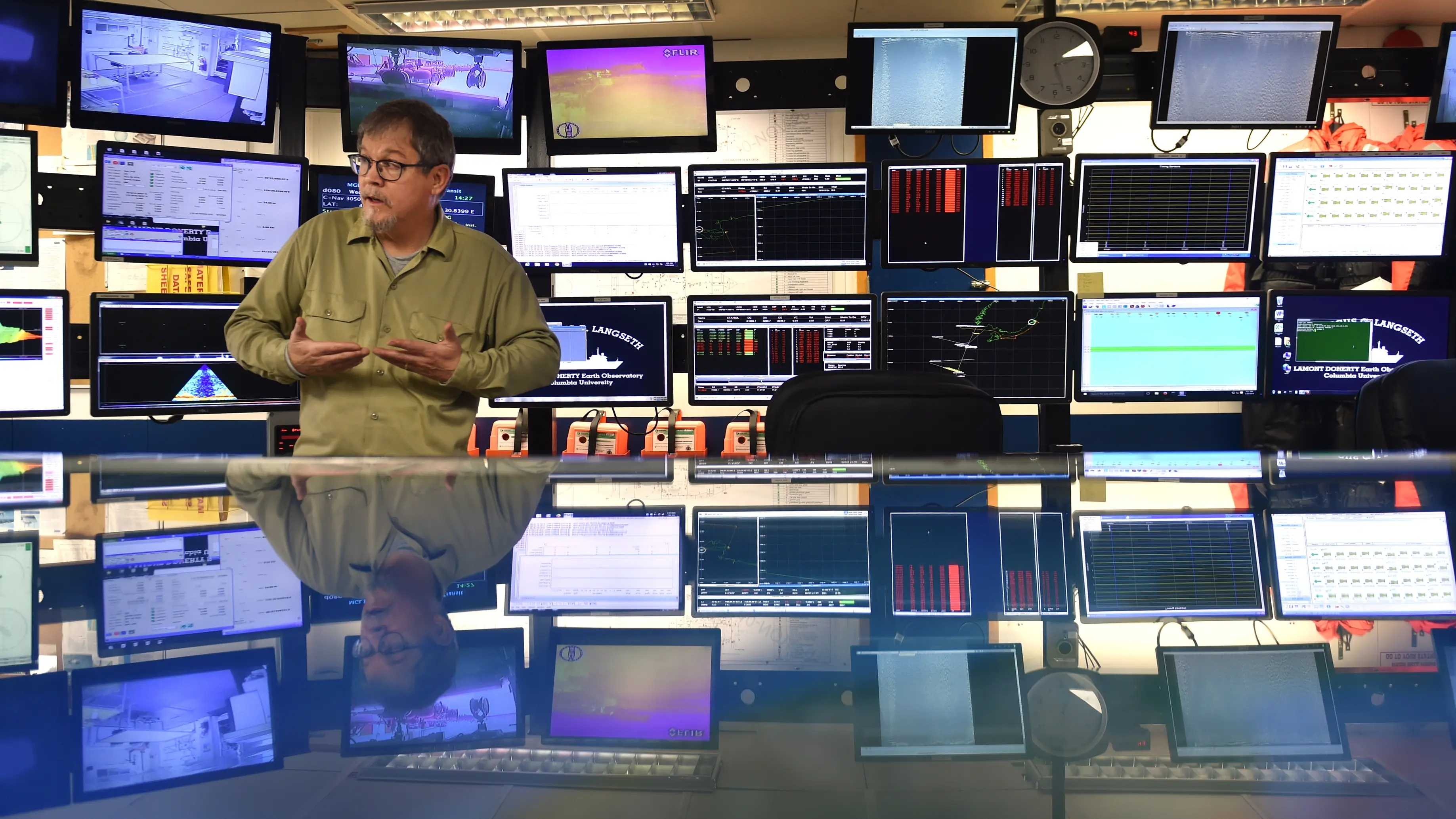
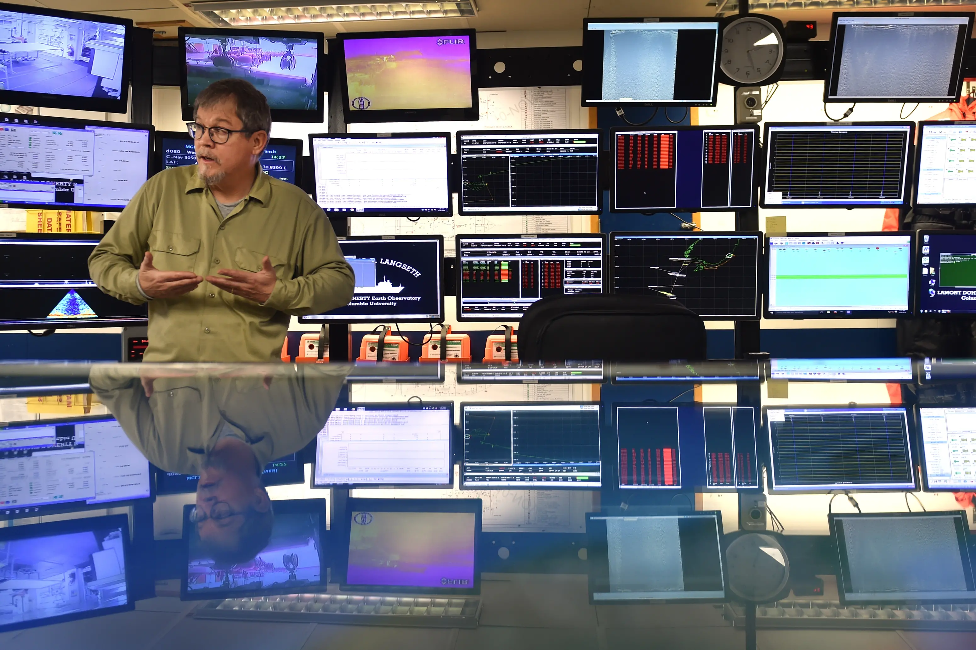
Senior science officer Robert Steinhaus inspects a streamer cable. Each streamer contains thousands of sensors which scan the ocean floor, similar to the way a CT scan works on humans. : Visiting US research ship weathered storms for science
Senior science officer Robert Steinhaus inspects a streamer cable. Each streamer contains thousands of sensors which scan the ocean floor, similar to the way a CT scan works on humans. : Visiting US research ship weathered storms for science
Visiting US research ship weathered storms for science
Usually millions of dollars worth of scientific equipment and 11m waves do not mix. But for the past month, the crew of American research vessel RV...