High pressure system brings chill across South

Wanaka’s Gabriel Kennedy (3) did not let the occasional slip stop him from breaking ice along the...
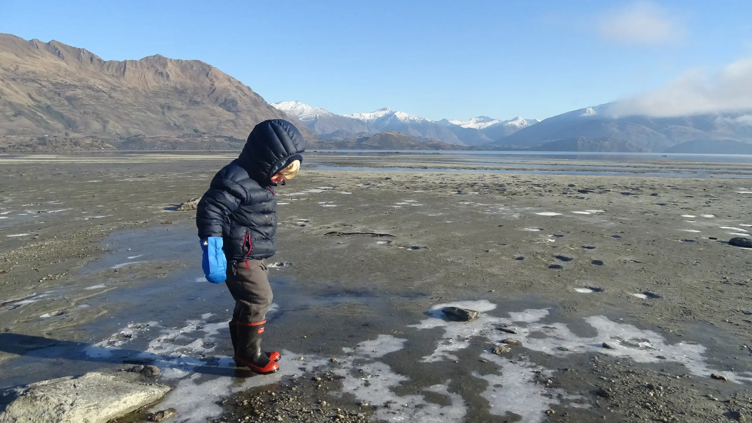
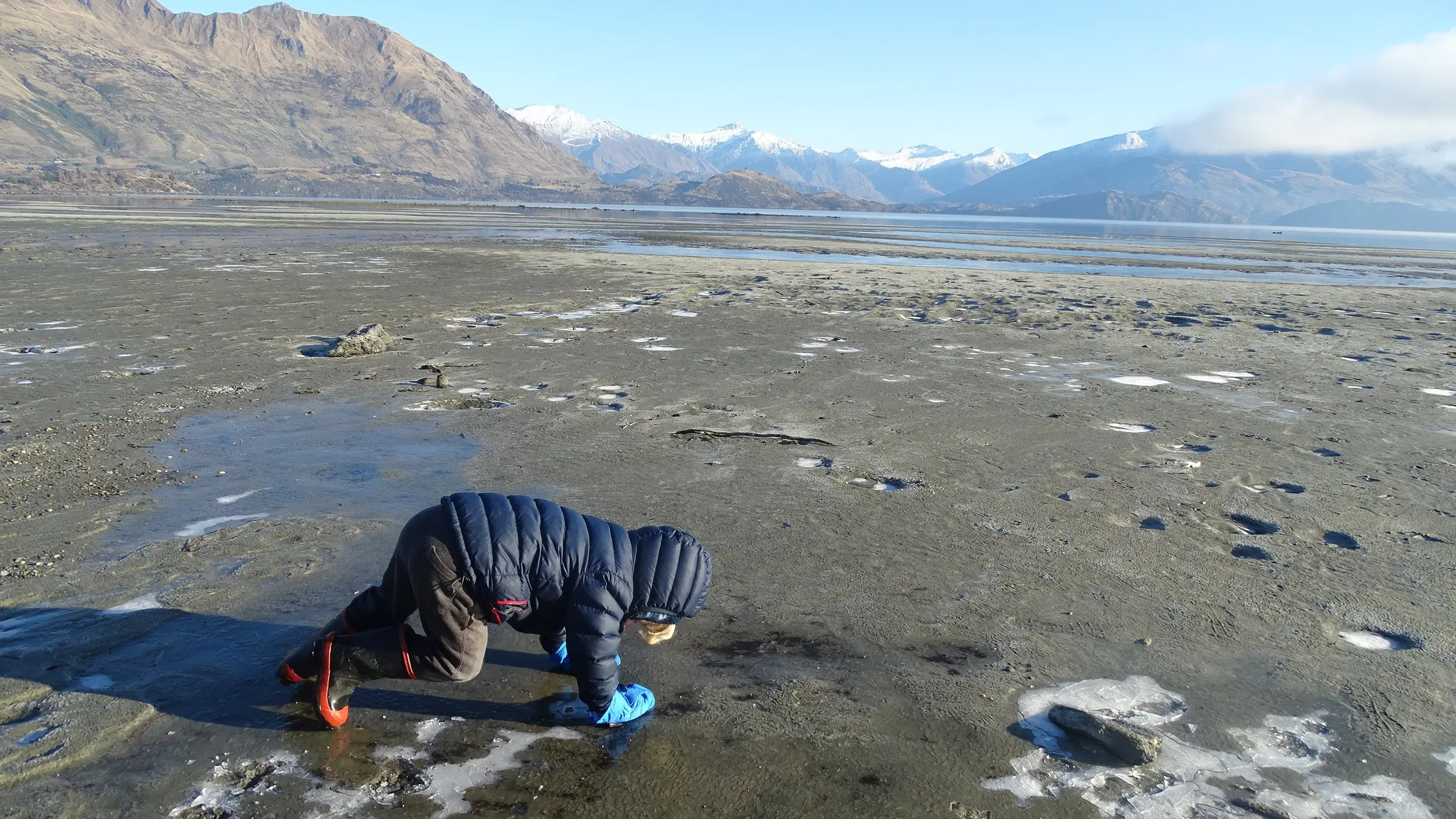
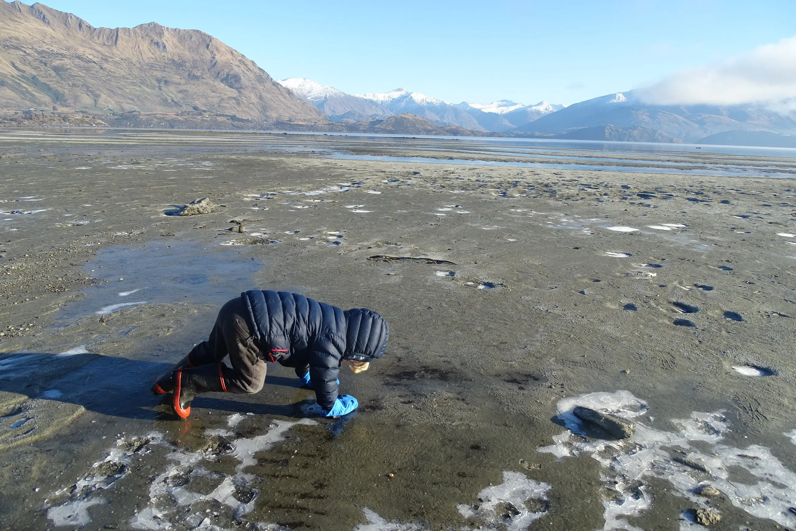
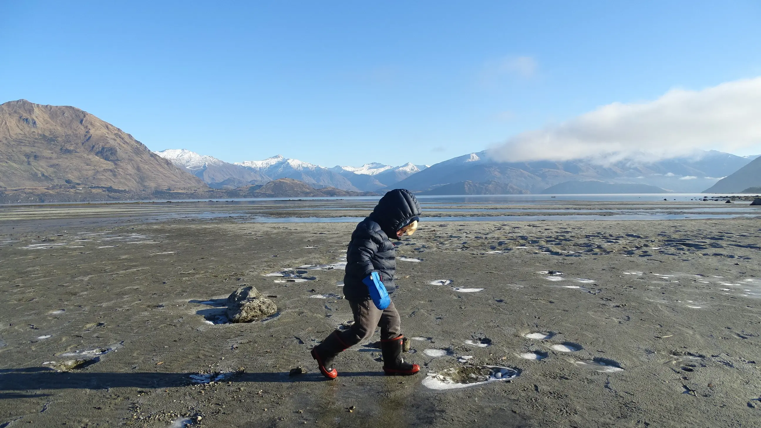
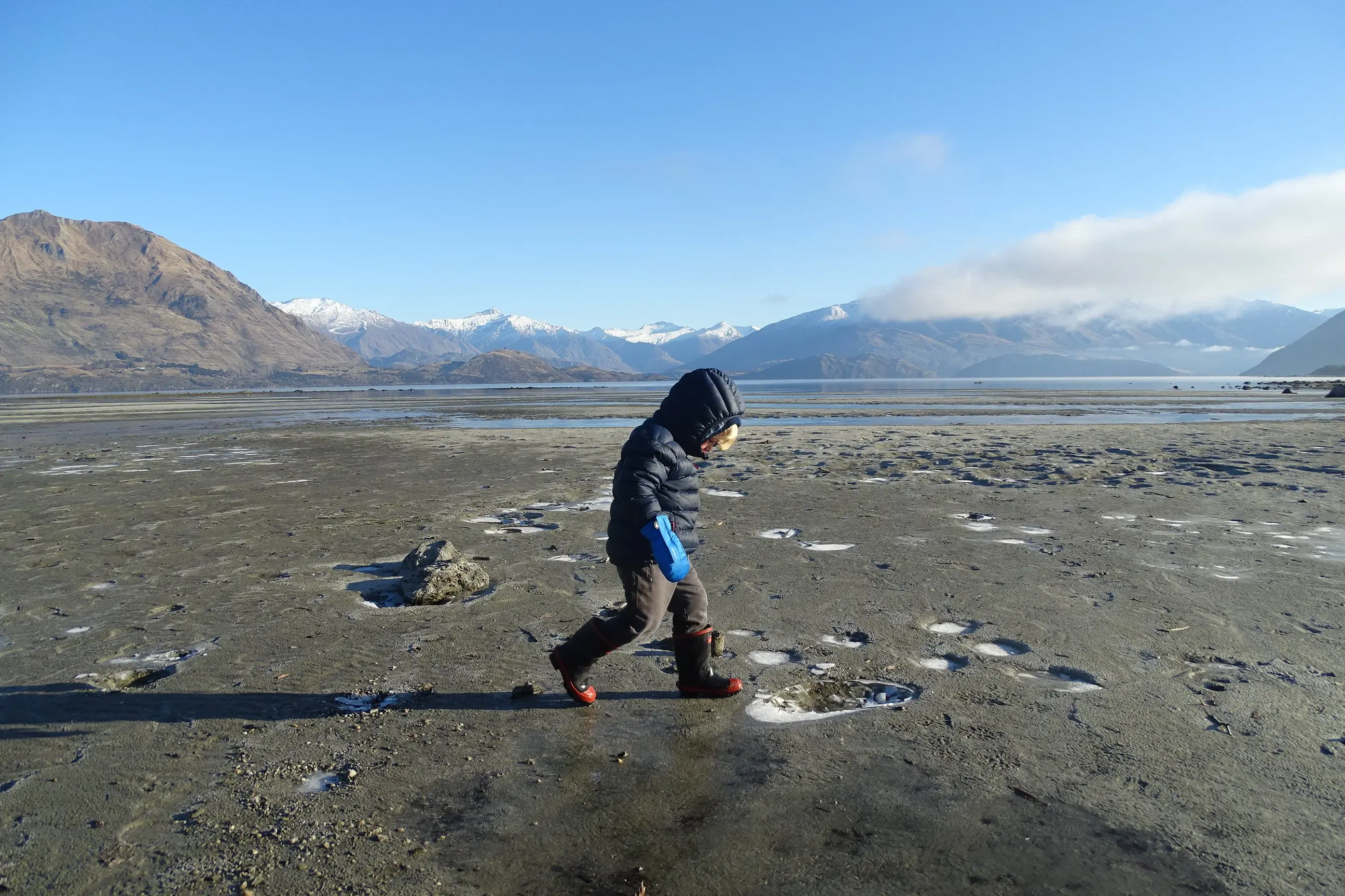
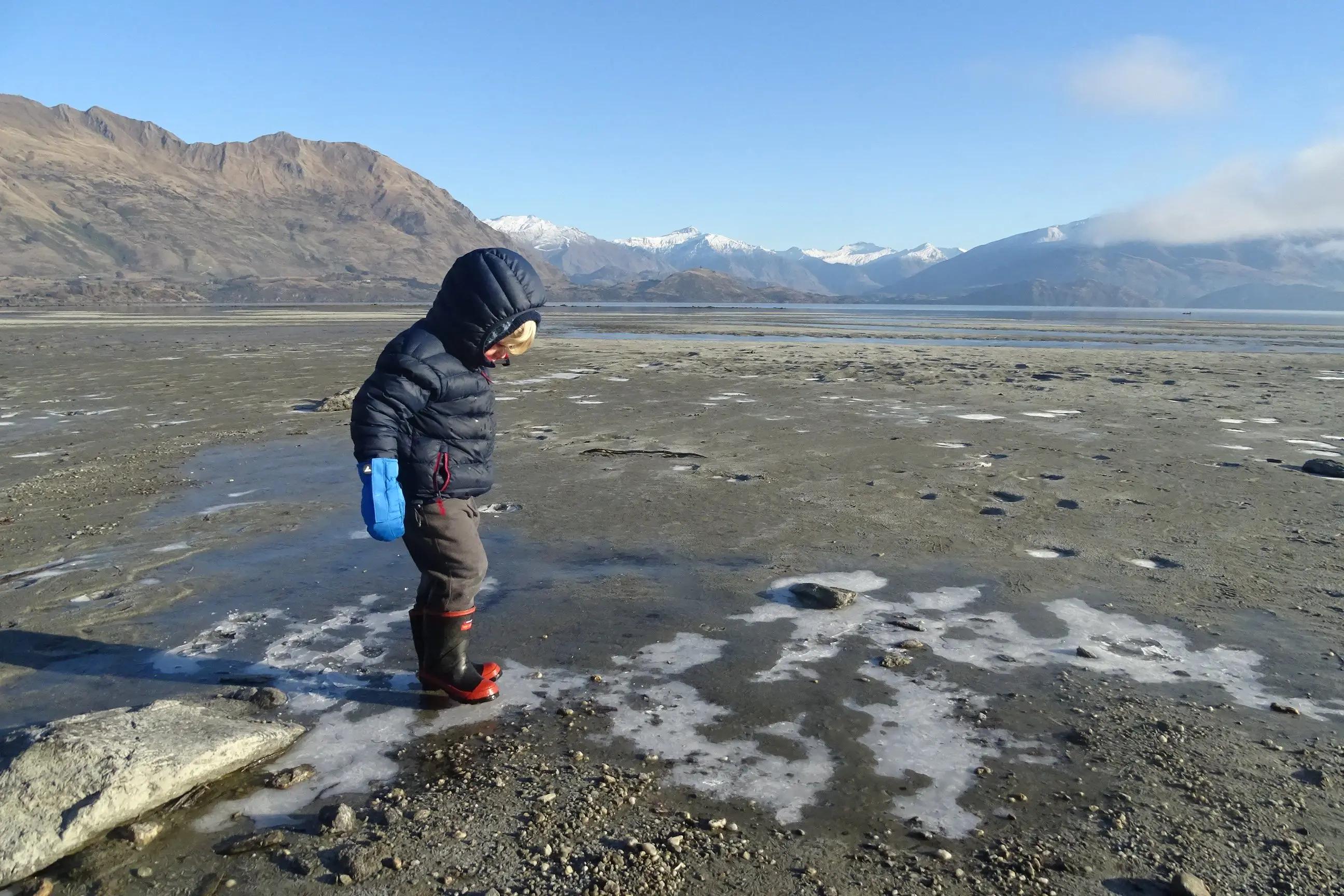
Wanaka’s Gabriel Kennedy (3) did not let the occasional slip stop him from breaking ice along the shoreline of Lake Wanaka at Bremner Bay yesterday. PHOTOS: KERRIE WATERWORTH

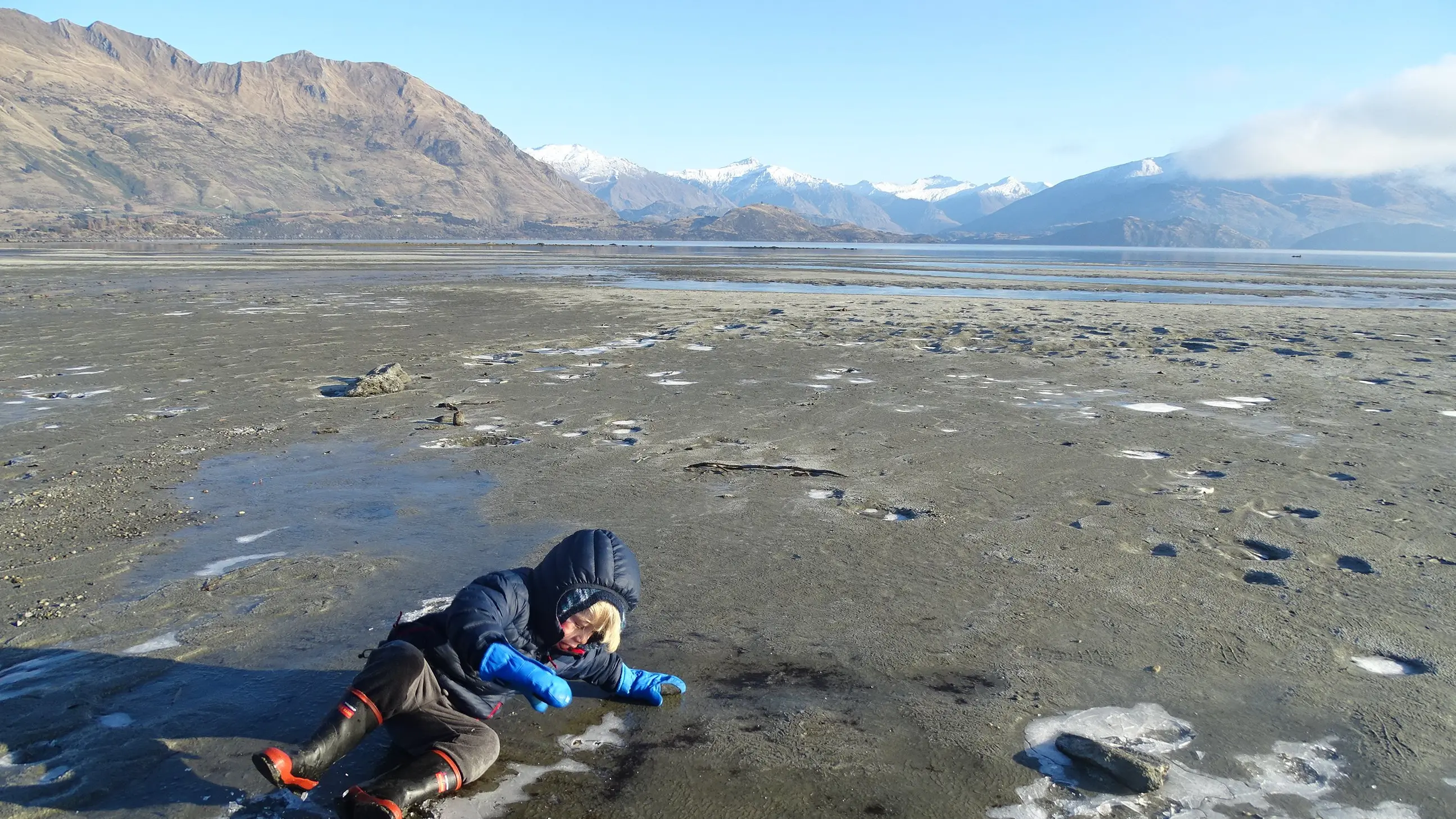
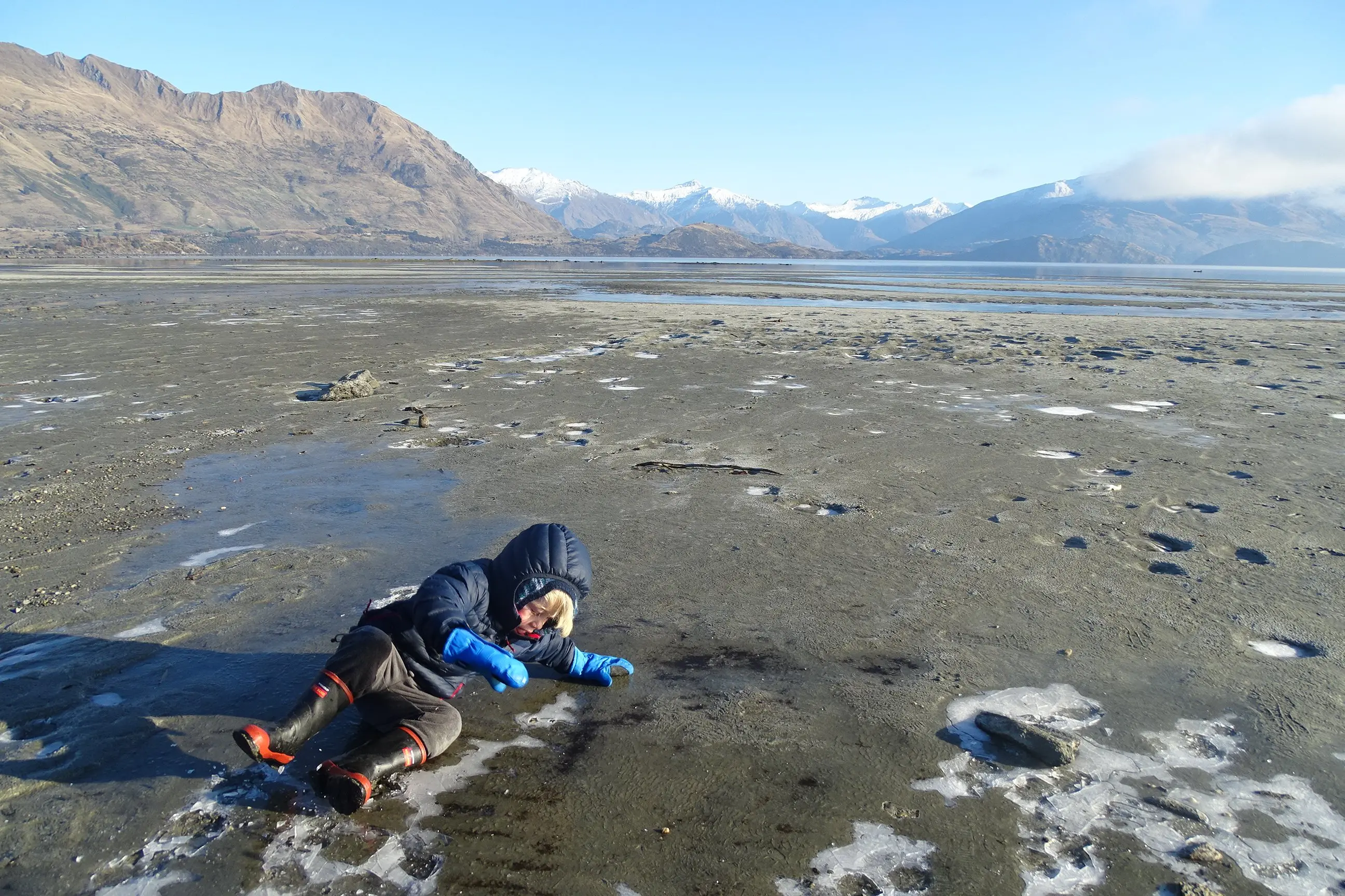
Breaking the ice on every frozen stream and puddle on Lake Wanaka’s Bremner Bay shoreline is a big job, but someone has to do it.

When 3-year-old Gabriel Kennedy went for a walk with his father, Matthew, along the extended shoreline he could not resist jumping on the crusts of ice, with only the occasional mishap.

They were just two of the many South Islanders who experienced the cold, crisp air and blue skies yesterday morning, following some of the coldest June overnight temperatures in years.

Niwa reported Middlemarch had an overnight low of -12.3degC which was the coldest recorded temperature in the country and also its coldest June morning since 2001.

Clyde dropped to -9.9degC, which was its coldest June morning since 1978, and Ranfurly followed close behind at -9.0degC.

A woman had to watch her step as she crossed an icy Union St after a big frost in Dunedin...
A woman had to watch her step as she crossed an icy Union St after a big frost in Dunedin yesterday. PHOTO: PETER MCINTOSH
MetService meteorologist Andy Best said the big drop in temperatures was due to a large area of high pressure moving in from the Tasman Sea and across New Zealand, bringing clear skies and light winds.

"Under those conditions, and with the sun low in the sky, all of the heat in the ground goes up and out to space and cools down the ground and all of the air in close contact with it," he said.

In the main towns, MetService recorded -8.9degC at Alexandra Airport, -8.2degC at Dunedin Airport, -5.3degC at Wanaka Airport, -5.1degC at Queenstown Airport, -3.2degC at Invercargill Airport and Oamaru Airport had a low of -2.9degC.

Dunedin city was the warmest centre with a low of -1.4degC.

Mr Best said above-average temperatures were expected east of the alps tomorrow and Wednesday due to strong northwesterly winds developing when the new front comes across from the Tasman Sea and starts moving up the South Island.

Wanaka can expect a high of 14degC tomorrow and 15degC on Wednesday and an overnight low of 7degC.

Normally, at this time of year, Wanaka would expect a high of 9degC and a low of zero degrees, Mr Best said.

This was due to the northwesterlies but also due to the front bringing rain to the West Coast.

Add a Comment