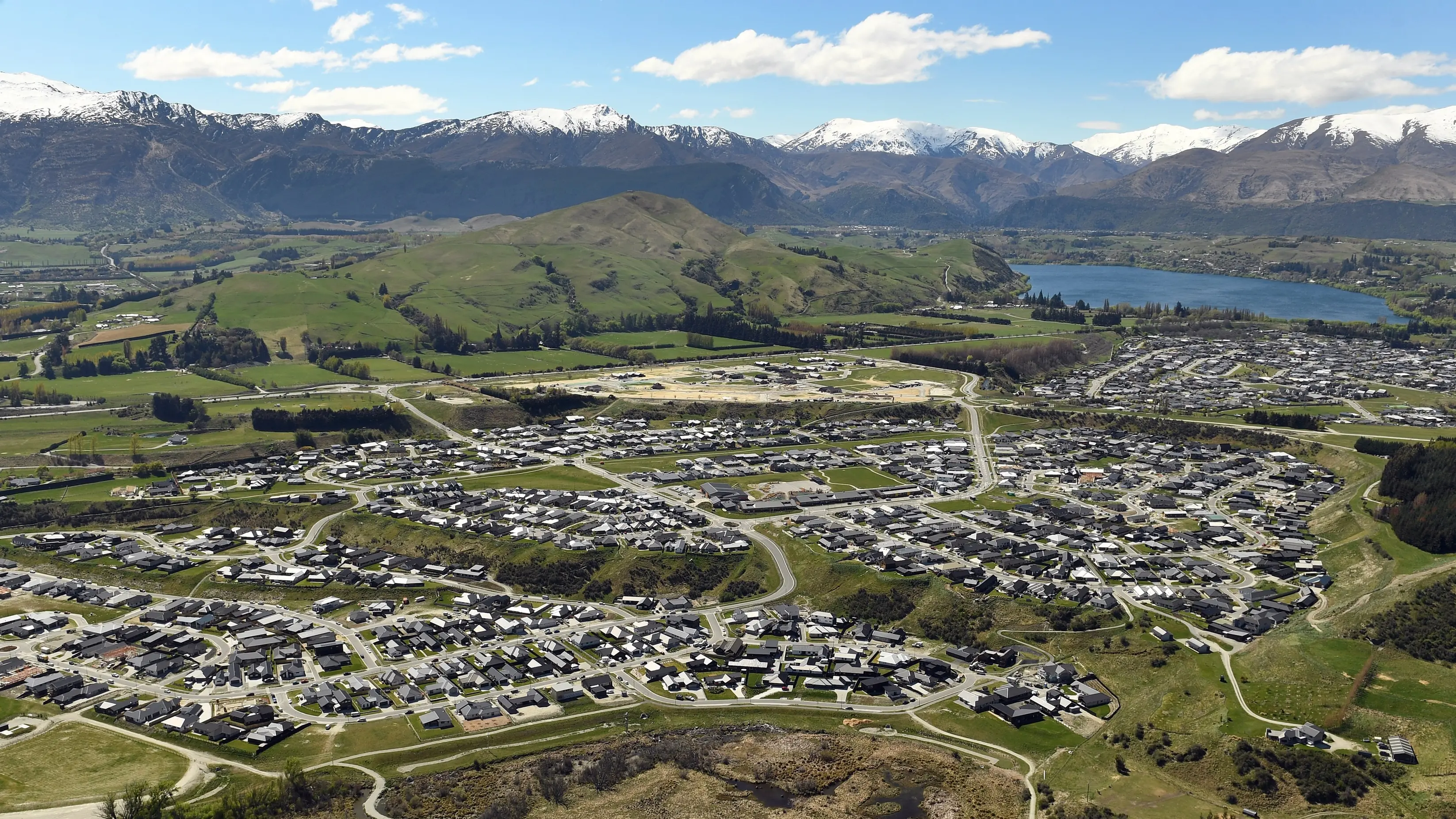
PHOTO
The husband-and-wife owners of Kinloch Lodge say a cloud of uncertainty over flood-proofing the only road in and out of town is having a detrimental impact on their business.
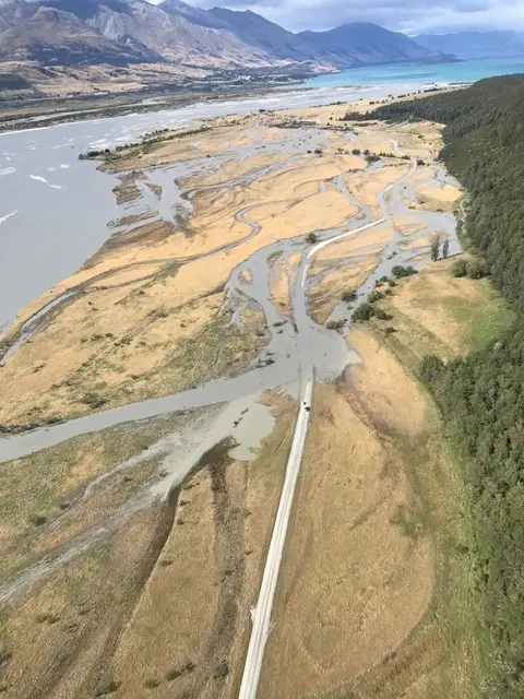
While flooding in the area’s nothing new, torrential rain on March 25, burst the banks of the Dart River and formed a new channel, which means the road’s flooding more easily.
Since then, it’s been closed regularly every time there’s a deluge – it was impassable by last Saturday and as of 5pm Tuesday was only open to 4WD vehicles.
Toni Glover and her husband, John, have worked tirelessly for 18 years to create a positive reputation for their family business, but road closures are eroding their efforts.
“Now we are known for having a terrible road, and people don’t know whether they can get here or not,” Toni says.
The couple are run off their feet trying to shuttle their guests, other members of the public, food and other freight via boat, but debris and limited daylight make it dangerous to get through, leaving visitors stranded.
Toni says the road’s important not just for their business, but also gives access to the Greenstone and Caples tracks, which link to the Routeburn Track – named one of the top 10 walks in the world – and a hugely popular campsite. They’ve been in regular contact with Otago Regional Council, responsible for the river, and Queenstown Lakes District Council, which oversees the road, but traction seems stagnant.
ORC natural hazards manager Jean-Luc Payan identifies the need for “quick action” on flood mitigation from both a safety and tourism perspective, and says his team is working on both short- and long-term solutions.
He’s not in a position to give any details because “further investigation is needed” to find a strategy that will be both effective and economical.
“The Dart is a very powerful river at the foothills of high mountains, a lot of sediment can be carried downstream, so there are challenges to find valuable solutions in a dynamic environment.”
Applying for consent to carry out mitigation work could also dictate timelines, he adds.
In a written statement, a QLDC spokeswoman says the council is accelerating previous plans to extract gravel from under the Rees River Bridge to elevate the road by up to 500mm.
The work will start in about a month.
Until then, it’s not business as usual for the Glovers.
“We have had to limit our menu, and every time it rains, we are spending hours trying to organise transport for people, and we can’t guarantee they won’t be stuck.”