PHOTO
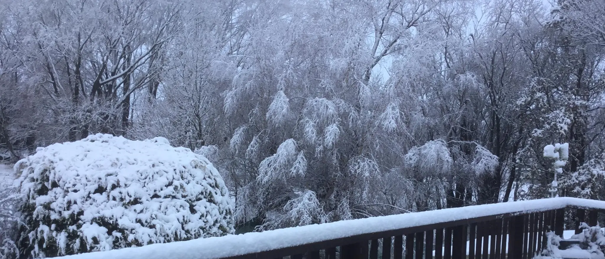
After a few days that reached 20degC, parts of the South woke up to wintry conditions today - on the first day official day of spring.
MetService meteorologist Peter Little said rain was expected to spread over Southland and Otago last night and today, and snow would fall to 300m in the south and east, including the hill suburbs of Dunedin. Temperatures were forecast to reach a high of just 7degC.
Snow is affecting state highways and alpine roads and extreme care is needed in some places.
It's snowing in Queenstown and around the Wakatipu Basin this morning.The Queenstown Lakes District Council (QLDC) said chains must be fitted on all vehicles driving over the Crown Range Road, linking Queenstown and Wanaka, and extreme caution is advised.
Just after 10am MetService said the threat of snow affecting the Crown Range Rd had passed.
Care is also needed on the Devil's Staircase (Kingston to Frankton) and between Wanaka and Cardrona. Chains must also be carried.
"Please follow any instructions on the information boards or checkpoint crews."
QLDC said warm roads in the lower parts of Wakatipu Basin means snow was not settling at this stage. However, visibility is low and there is debris on the roads in some areas due to strong overnight winds.
"Crews are working to clear this but please take extra care and slow down."
Heavy rain has also caused some minor rockfalls through the Kawarau Gorge.
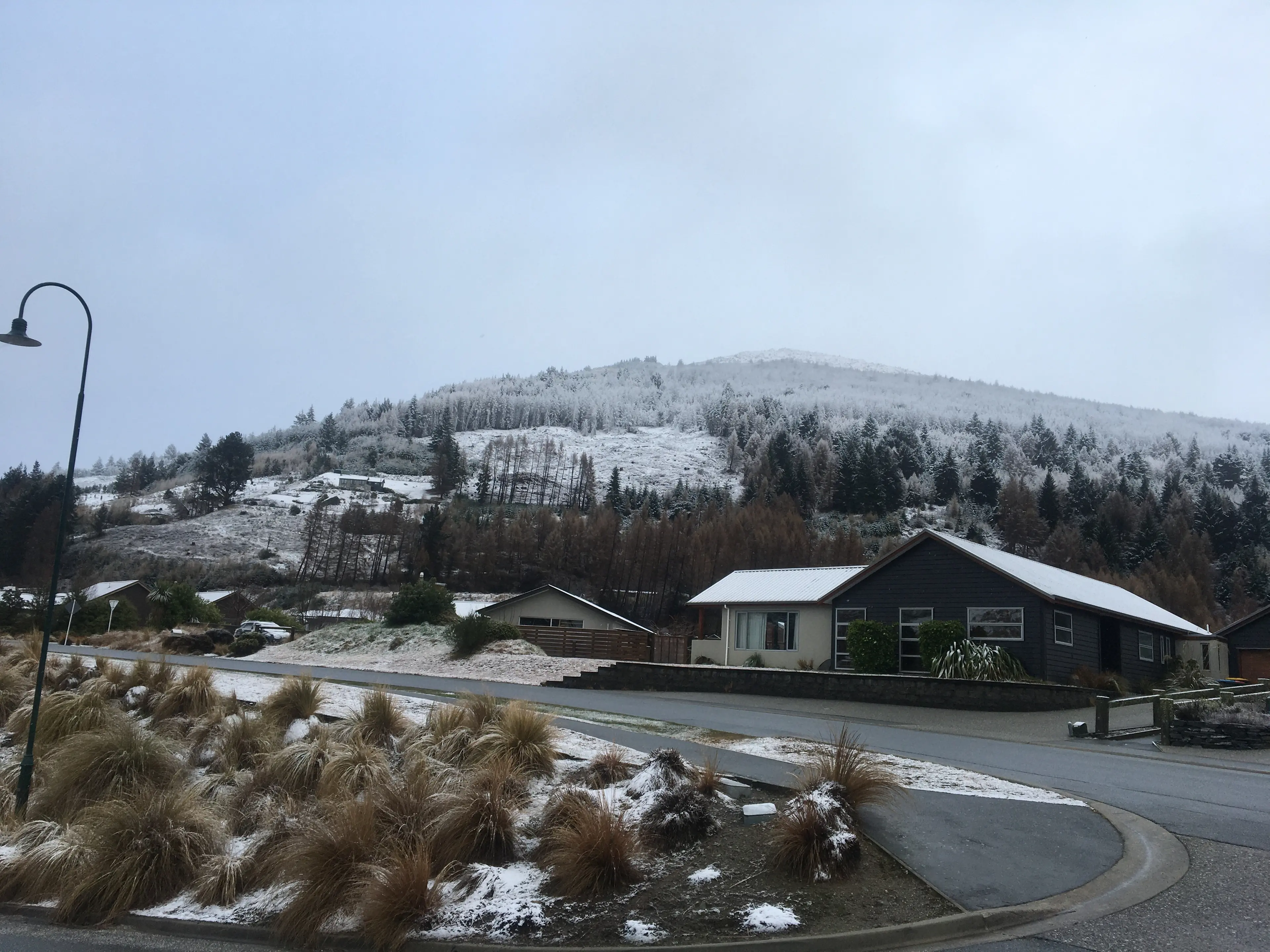
In Central Otago, there's snow and ice in the Manuherikia and Maniototo in freezing temperatures this morning. Crews were working to clear the roads, but care is needed, the district council said.
Danseys Pass Road is closed (from the gates past the Danseys Pass Hotel) due to snow and ice.
Meanwhile overnight rain in Roxburgh, Alexandra and Cromwell has caused surfacing flooding and windblown debris in areas.
A police spokeswoman said there were several small weather-related incidents in Southland this morning.
There was some flooding in Wyndham Rd, Tuturau, and there were some trees that had been felled by wind in the region also, she said.
"Police would advise motorists to drive to the conditions, take extra care, and allow a little extra time to get where they are going."
The heaviest snow is expected to fall in the Canterbury foothills and inland ranges about and south of the Rakaia River, between 4am and 7pm today.
Up to 20cm was forecast to settle above 500m, and lesser amounts down to 300m.
It might disrupt travel in affected areas and could damage trees and powerlines. The cold might also cause stress for livestock, MetService meteorologist Peter Little said.
These state highways are affected by snow and wind this morning, NZTA advises.
SH 7 - Hanmer Turnoff to Springs Jcn - Strongs winds are reported on this route. Extra care is needed by drivers of high-sided vehicles anbd motorcycles.
SH 73 Springfield to Castle Hill (Porters Pass) - Snow - Chains are essential on this route and the road is now closed to towing vehicles.
SH 79 Fairlie to Rangitata - Snow and Ice - Road users are advised to take care and to drive to the conditions.
SH 80 - Aoraki Mt Cook Highway - The road is currently closed due to a serious fire.
ALPINE ROADS AFFECTED
There's heavy snow on alpine passes.
Just after 10am, MetService said the threat of snow affecting the Haast Pass and Crown Range Rd had passed and the road snow warning had been lifted.
Snow is expected to affect the Lindis Pass until this afternoon. Between 2-3cm of snow may settle above 500m.
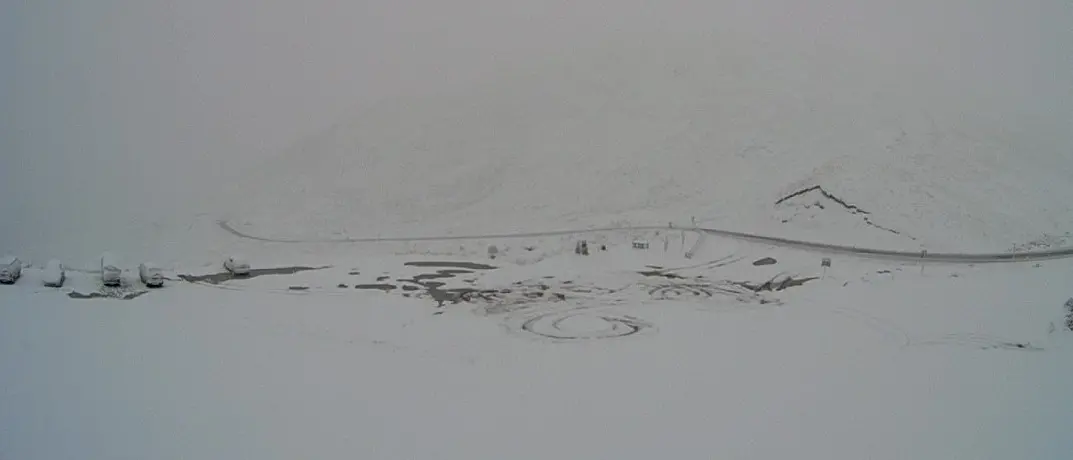
Meanwhile, the Milford Road - Te Anau to Milford Sound - has reopened this morning after heavy snow but road users are advised to drive with care.
Up to 3m of snow had been forecast to affect the road above 500m earlier on.
Reporting by John Lewis and ODT Online