PHOTO
Looking to explore the roads less travelled and connect with the stories, characters and communities that make New Zealand such a great place to live and visit? The small towns and satellite settlements within wider Dunedin weave a rich tapestry of history, each with their own backstory that underpins a unique charm. Covering an area that’s roughly the size of the Cornwall in the UK, the approximate 1280 square miles that sit within the Dunedin city boundary offers a diverse range of landscapes and experiences, from the volcanic coastal cliffs and wide Pacific horizons through to the dramatic uplands and plateaus inland. The Otago Peninsula is the most popular for its many wildlife attractions and harbourside townships, but there is much more to discover just beyond the urban centre.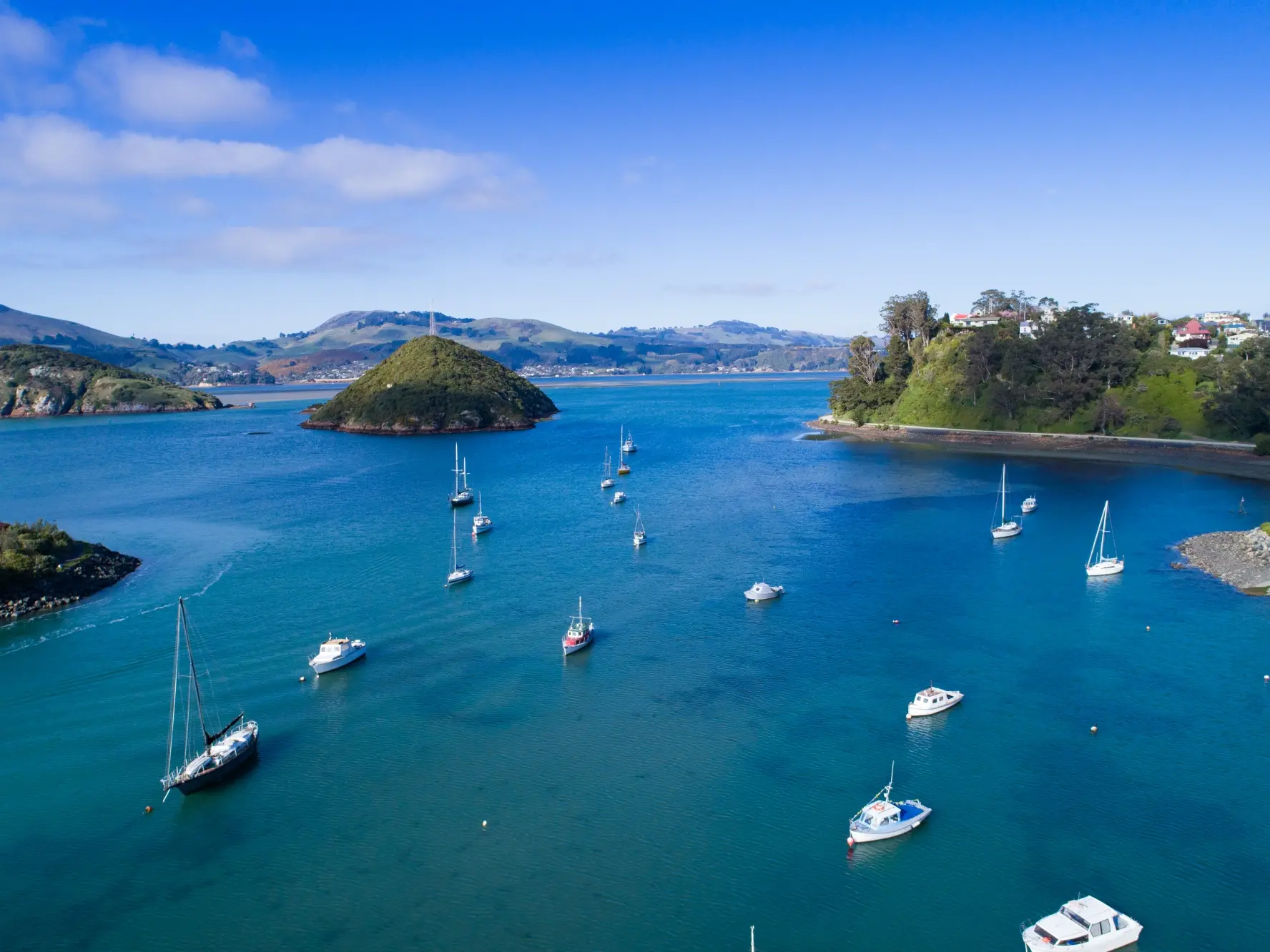
Dunedin’s busy commercial shipping hub, Port Chalmers is awash with history and charm, the main street and surrounds sitting prettily between the harbour and hillside. The original banks, tailors, pubs, boarding houses and stables of the late 1800s have been transformed into cafes and restaurants along with vintage clothing and collectables shops, galleries and other quirky businesses. The Maritime Museum in town, gives an excellent overview of the history of fishing, shipping, Antarctic exploration and social history. Artists have long been drawn to the community here, including Ralph Hotere; check out the sculpture garden in his honour just up the hill. Like all good port towns, the local pub is one of the keystones of society, and as expected the Portsider does a great line in cosy meals and fine craft beers.
Amble around to Careys Bay just further along the harbourside road in search of a seafood feast at the historic Careys Bay Hotel and watch the comings and goings of boats and birds on the harbour. At the end of the road you’ll find the sleepy settlement of Aramoana nestled amongst the sand dunes at the mouth of Otago Harbour. The beach and breakwater are a good place to spot sealions basking in the sun or albatross in flight around Taiaroa Head. If you’re feeling active, tackle the Heyward Point Track that ascends up the steep hill behind Aramoana, open year-round aside from lambing season.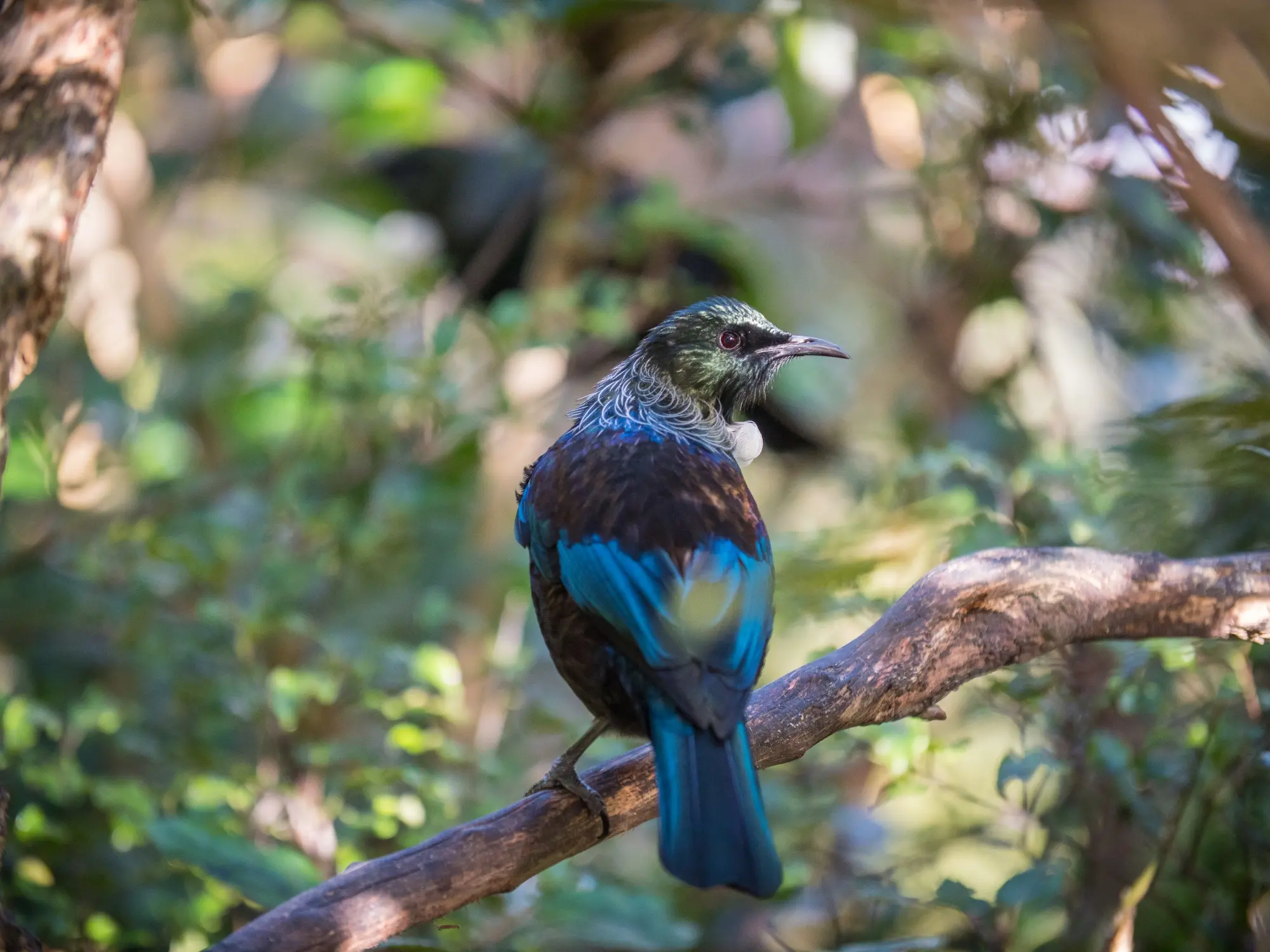
Be prepared for some spectacular views as you wend your way around the coastline just north of Dunedin. Take the long way via Port Chalmers and up over Blueskin Road to stop in at the picturesque seaside settlement of Long Beach with its impressive cave, or detour down to Purakanui Beach and search for the hidden staircase adjacent to the historical Mapoutahi Pā site to find yourself near the mouth to Blueskin Bay. En-route to meet State Highway 1 at Waitati you’ll pass the Orokonui Ecosanctuary, a genuine cloud forest alive with native birds.
If it’s low tide, side-track down to Doctors Point for a stroll through the impressive sea arches or carry on the highway until you spot Arc Brewery, a good excuse for a refreshment stop on weekends.
Because the back roads are often more interesting, turn off towards Warrington and take an amble along the spit, keeping your eyes peeled for Hectors Dolphins and New Zealand sea lions that occasionally surf the waves in amongst the locals. Continuing on north up Coast Road will reward you with a sweeping panorama from Taiaroa Head in the south right up to Waikouaiti in the north. Stop off at the viewpoint overlooking Karitane below for a photo opportunity.
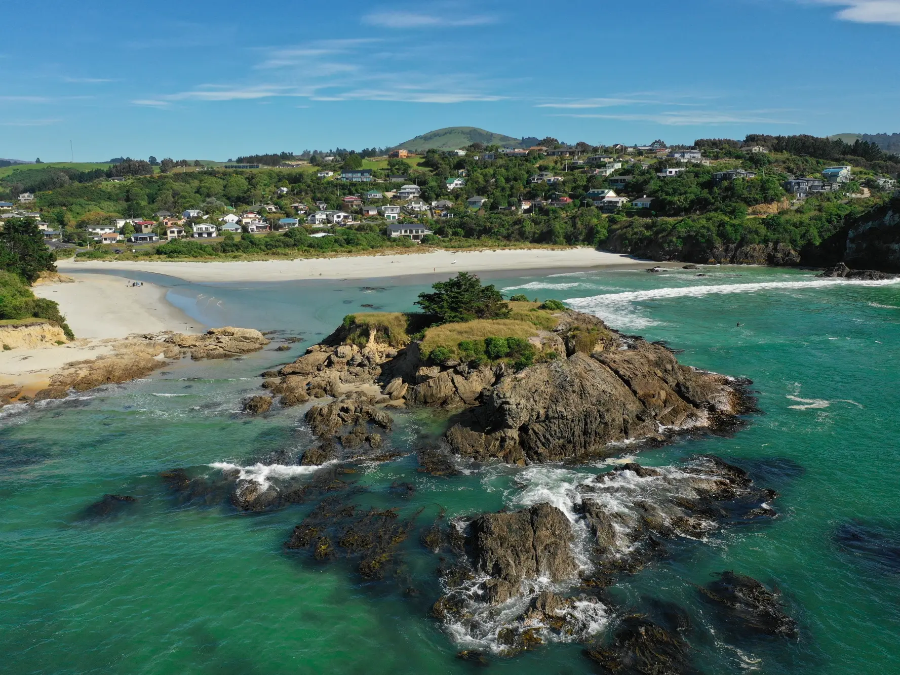
Karitane is a popular weekending spot for Dunedinites and it’s easy to understand why. On a sunny day, the sheltered lagoon, white sand beaches and pale offshore rock stacks make it feel like a tropical getaway.
The focal point here is the Spectacular Huriawa Peninsula reserve at the north end of Karitane beach, the site of a historic fortified Māori pā. Enter the reserve through the ornately carved archway and follow the paths around the peninsula for stunning views along the coast, down the cliffs and into the blowholes.
The last stop on this route is Waikouaiti, an important settlement during the gold rush days and the site of New Zealand’s oldest surviving farm buildings at Matanaka Historic Farm. To the east the Hawksbury Lagoon Wildlife Refuge provides an ideal habitat for birds, particularly wetland species.
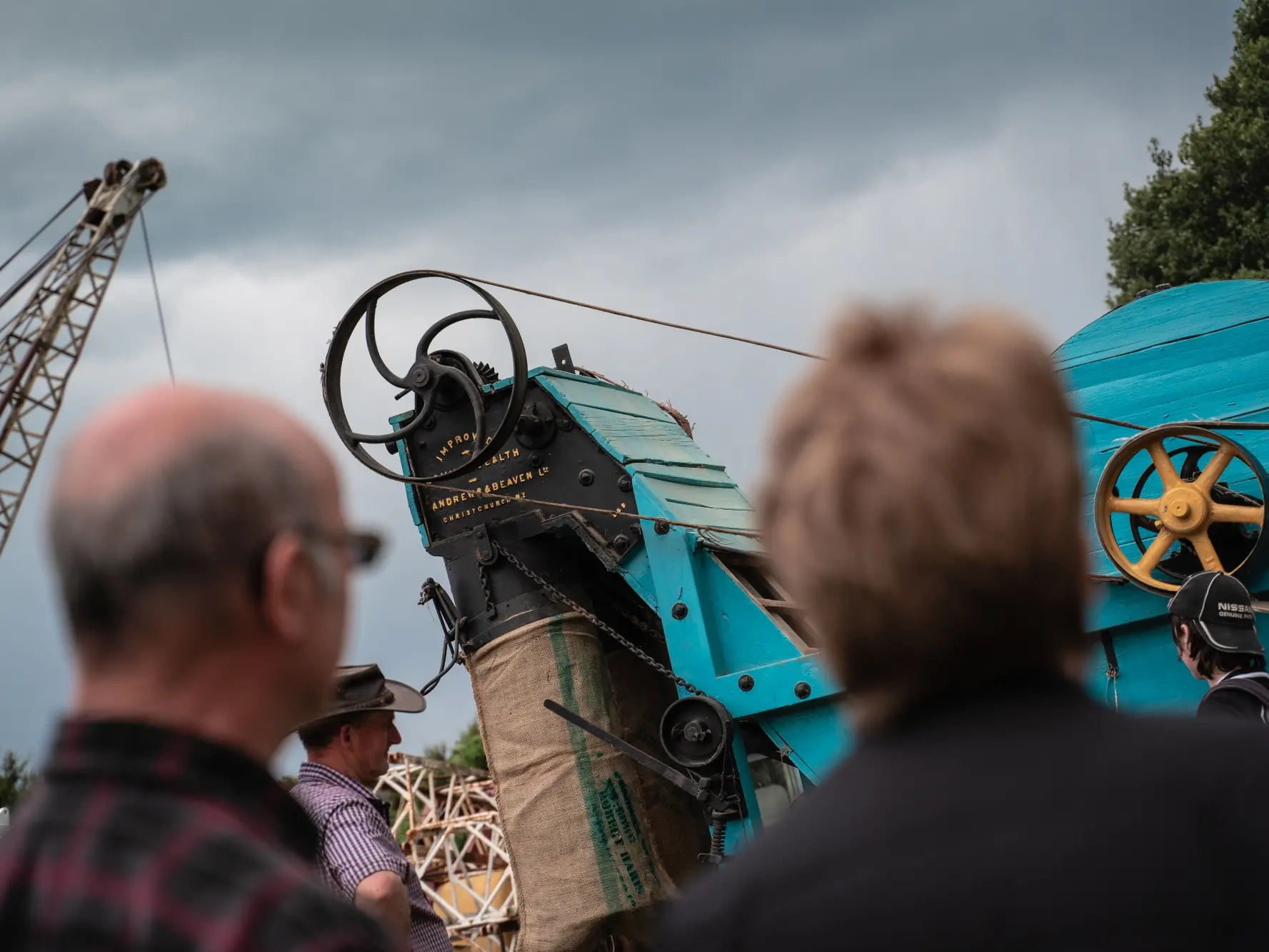
In the main street you’ll find an eclectic array of curiosities. There's the boutique sized Waikouaiti Coast Heritage Centre housed in the former Bank of New Zealand built in 1869 during the Gold Rush. Its collections encompass Māori artefacts, family history, WW1, maritime history, whaling, farming, Seacliff Hospital, Johnny Jones, photographs of people and places, maps, documents, and domestic utensils and furnishings, it gives a fascinating insight into the history of the Waikouaiti Coast and its people.
Taieri Plain and Middlemarch
The lush green pastures of the Taieri Plains are home to many a fascinating place tucked amongst the fields and hills. Out in Outram the Taieri Historical Museum is gem waiting to be discovered. Amongst the heritage buildings you’ll find a courthouse, jail, school, church and steam engine shed filled with fascinating artefacts from early settler life in the area. Further south you can explore the Sinclair Wetlands, where 46 bird species reside within river channels, pools, swamps, and forested islands.

Head for the hills with the scenic drive to Middlemarch, which sits at the foot of the Rock and Pillar Range, in a sweeping valley that extends up towards Central Otago. Within this dramatic backdrop of mountains, rocky outcrops and golden tussock, you’ll find the other-worldly Sutton Salt Lake — New Zealand’s only inland salt water lake. The Middlemarch Museum is full of fascinating finds and relics of the past, including a somewhat surprising 1870’s submarine. The township also marks the start of the Otago Central Rail Trail cycle-way which follows the old Central Otago railway line all the way to Clyde.
Tootle south along Blackhead Road via Tunnel Beach, one of Dunedin’s most renowned natural wonders, then on to Brighton and the nearby settlements of Waldronville, Westwood, and Ocean View, all well-kept local secrets. This idyllic stretch of coastline makes a great driving route with plenty of stops for beach walks, picnics, swims and fish and chips. Brighton Beach and domain will give you a dose of classic kiwi beach nostalgia. Potter around in the water, paddle in the adjoining stream and explore the small rocky island just off-shore which is easily reached at low tide.
Keep going south to reach Taieri Mouth, a quiet little seaside fishing village at the mouth of the Taieri River; this slice of peaceful kiwi paradise is the ultimate Sunday drive destination. The river is popular for recreational boating and the nearby white sand beach is the perfect picnic spot. For walkers, the Taieri River Track wends its way up the valley beside the river through native bush to the isolated reaches beyond.