
PHOTO
Dunedin’s key route to the north is open again after snow caused chaos on city roads and shut down schools.
State Highway 1 between Pine Hill and Waitati reopened at noon, NZ Transport Agency Waka Kotahi (NZTA) said.
People are being asked to travel with care in the current weather conditions, with a MetService road snowfall warning still in place in this area until 1pm.
Inland, SH85 between Kyeburn and Morrisons in Otago reopened at 11.10am after snow thawed, and SH87 from Outram to Middlemarch reopened about 2.40pm.
The Dunedin City Council on Tuesday afternoon said it urged motorists to take care on the roads over the next few days, as snow turning to ice was expected to create treacherous conditions in the mornings.
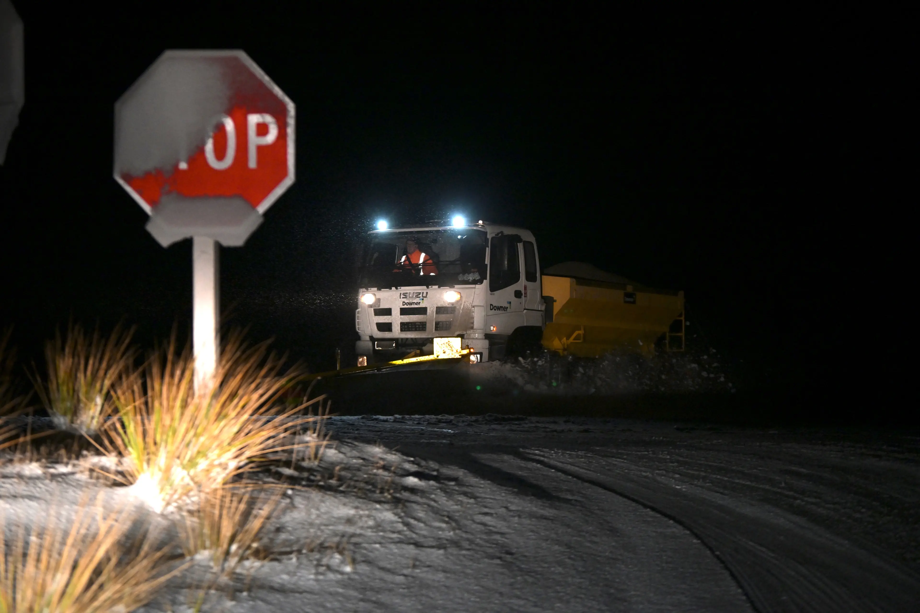
DCC Transport Group Manager Jeanine Benson said they would continue to have contractors out overnight, monitoring conditions and responding as needed, including sweeping snow, spreading grit and applying CMA to potential trouble spots.
“Drivers also need to do their part by avoiding unnecessary travel and, if you do need to be on the roads, allowing extra time, driving carefully and to the conditions, and to keep a close eye out for shaded areas, frost and ice, including black ice. We also encourage pedestrians, cyclists and other road users to exercise the same caution.”
Traffic chaos on city roads
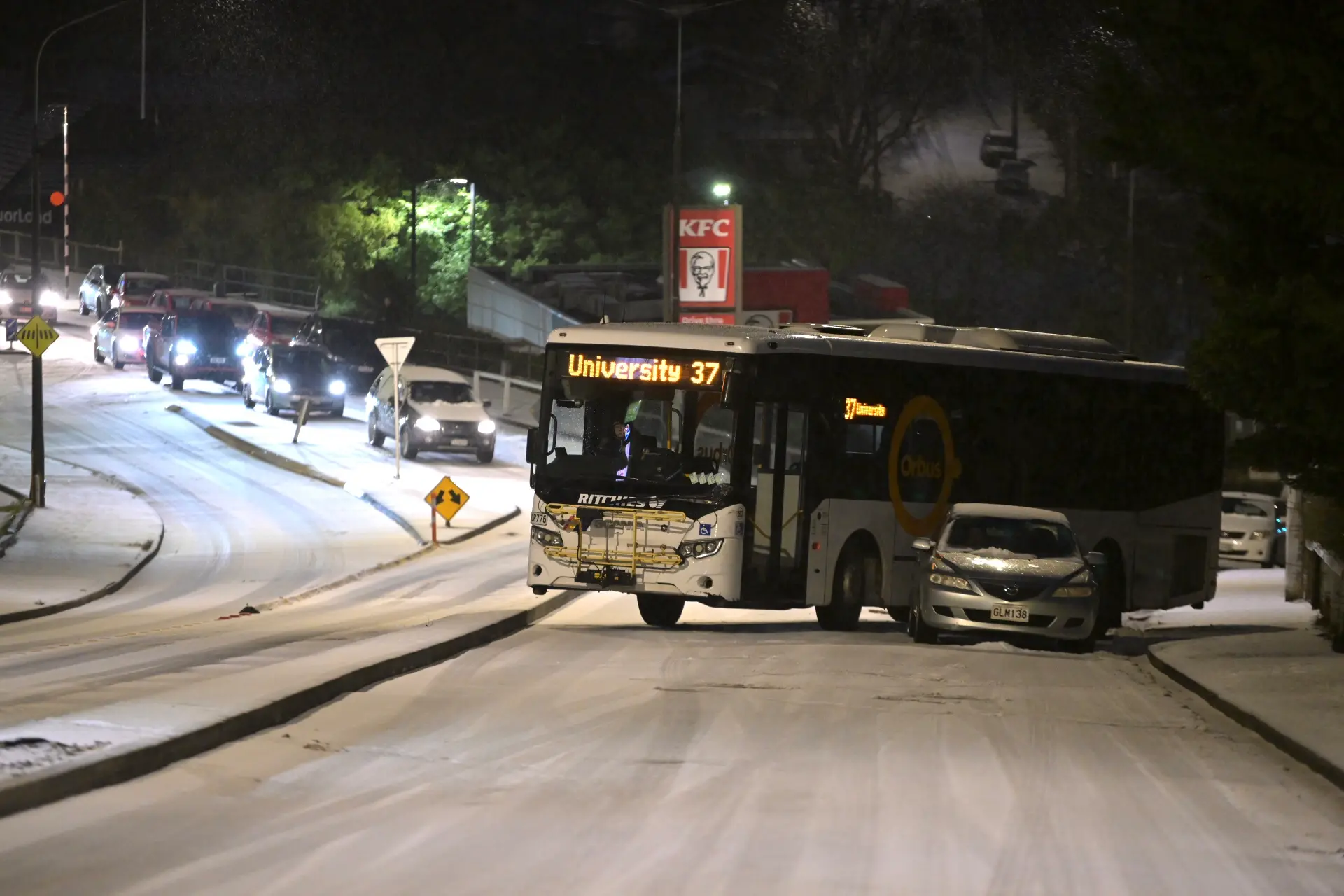
In Dunedin, city-bound traffic from Kaikorai Valley Rd was at a halt for several hours after a bus blocked the road at the intersection with Stuart St.
SH1/Dunedin Southern Motorway, between Caversham Rd (southbound) and south of Mornington Rd (northbound), has reopened after a snow closure this morning.
Police are asking people in Dunedin to avoid travelling unless absolutely necessary due to snow and icy roads.
All primary and intermediate schools, and DKA Dunedin Kindergartens between Mosgiel to Port Chalmers to Waikouaiti are now closed, the Otago Primary Principals' Association said.
All Dunedin high schools are closed and Otago Polytechnic has shut its doors for the day.
The University of Otago is advising staff to work from home today avoid travel.
"Campus is open, however please be aware that some staff may not be able to make it in to campus. It is a fluid situation, but safety is paramount.”
Multiple crashes and closures
A woman who drove into town from Corstorphine for work said it was 90 minutes of chaos.
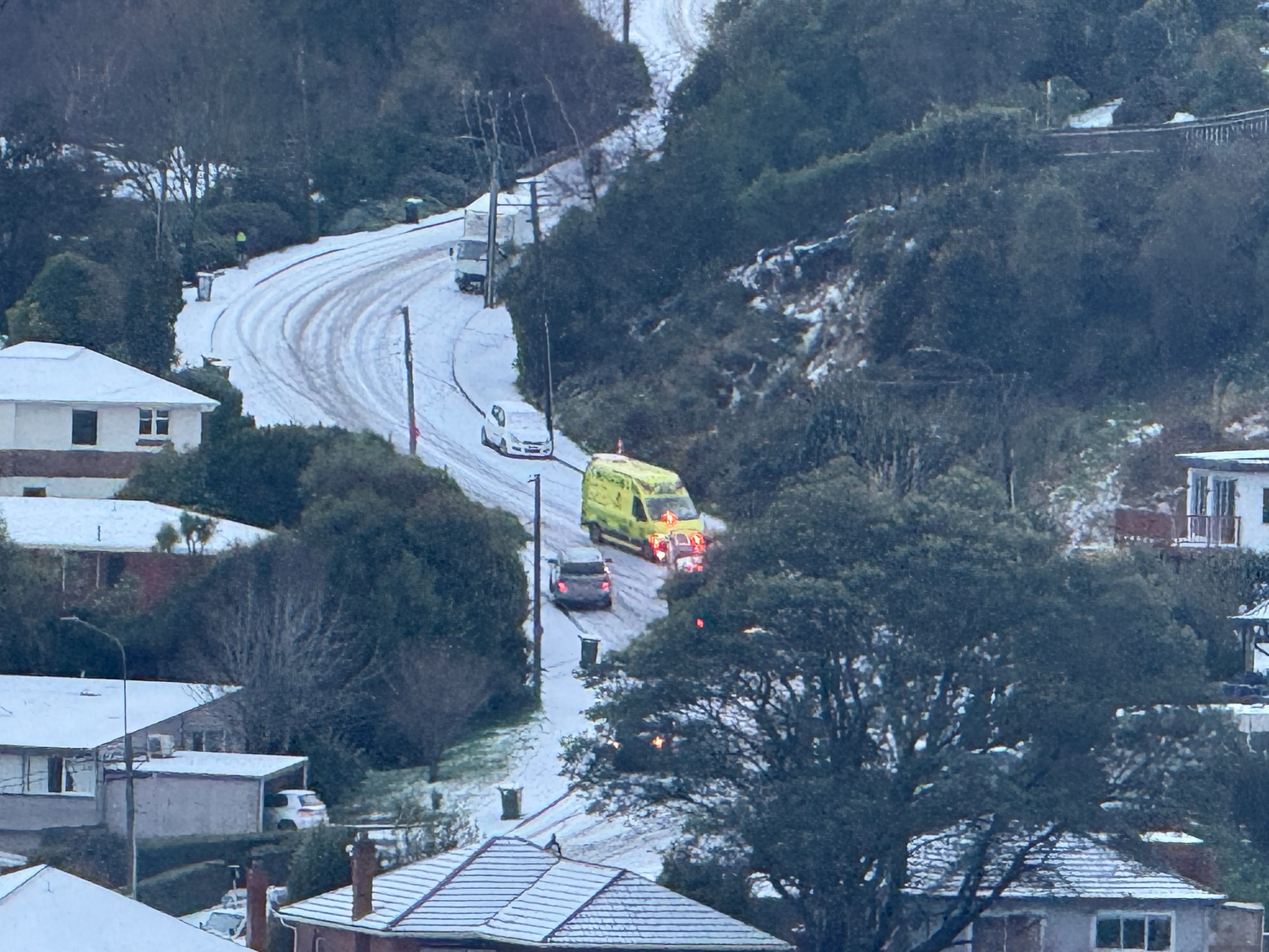
Corstorphine Rd was clogged up by a series of large trucks which had become stuck, which in turn led to a string of cars losing control and crashing, further blocking the road.
The only upside was that it was a "pretty view" looking down into the city while being stuck in traffic.
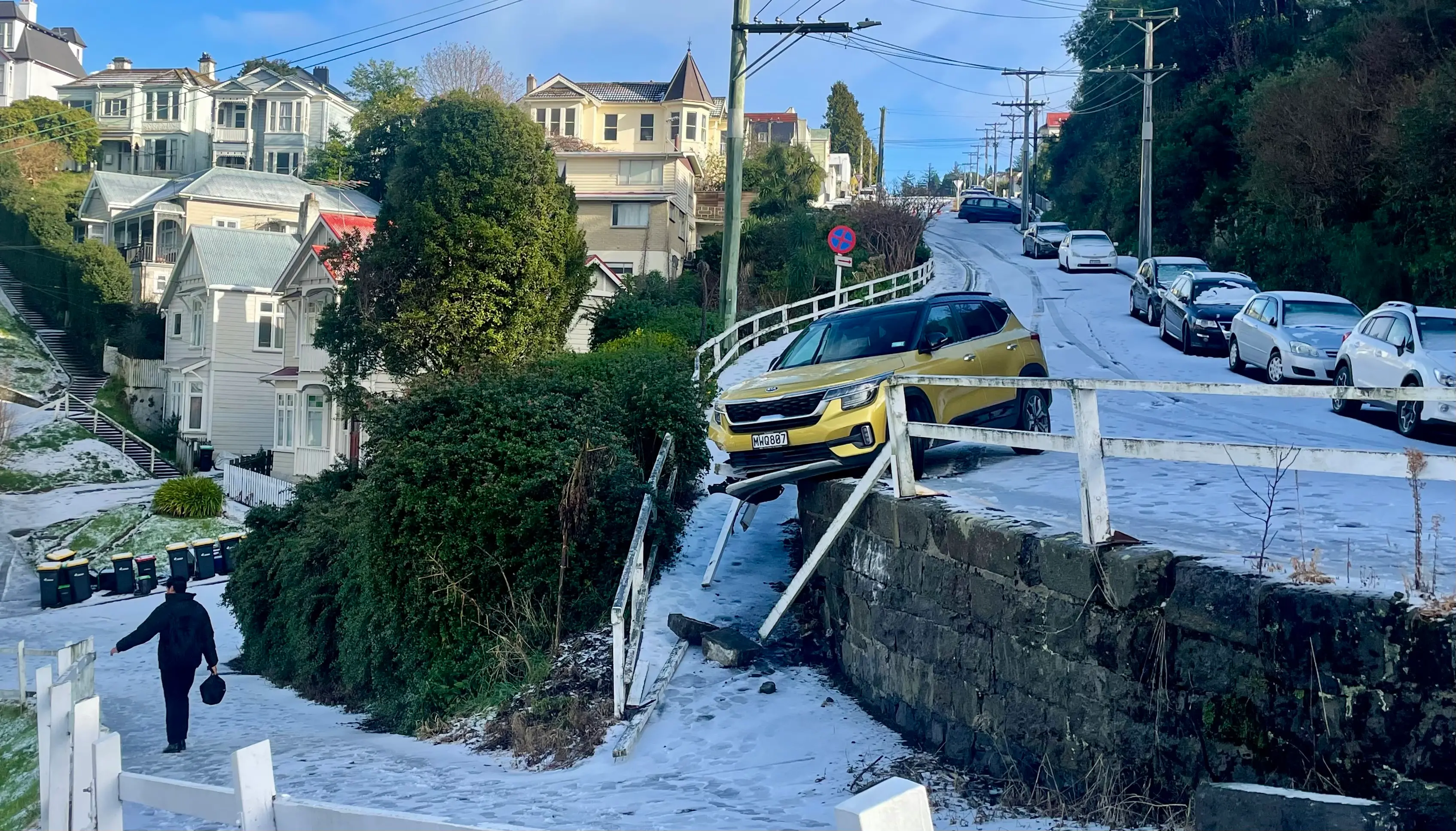
Emergency services were called to Leckhampton Court at Clyde Hill after a car slide over a bank.
No injuries were reported, however the vehicle came to a stop against a house.
Crews are assessing how best to remove the vehicle, police said.
Police said crashes had been reported on Moray Pl, Smith St, High St, and the Craigleith St and Taine St intersection.
By 2.45pm Mt Cargill Rd and Blueskin Rd had reopened but Three Mile Hill Rd was still closed.
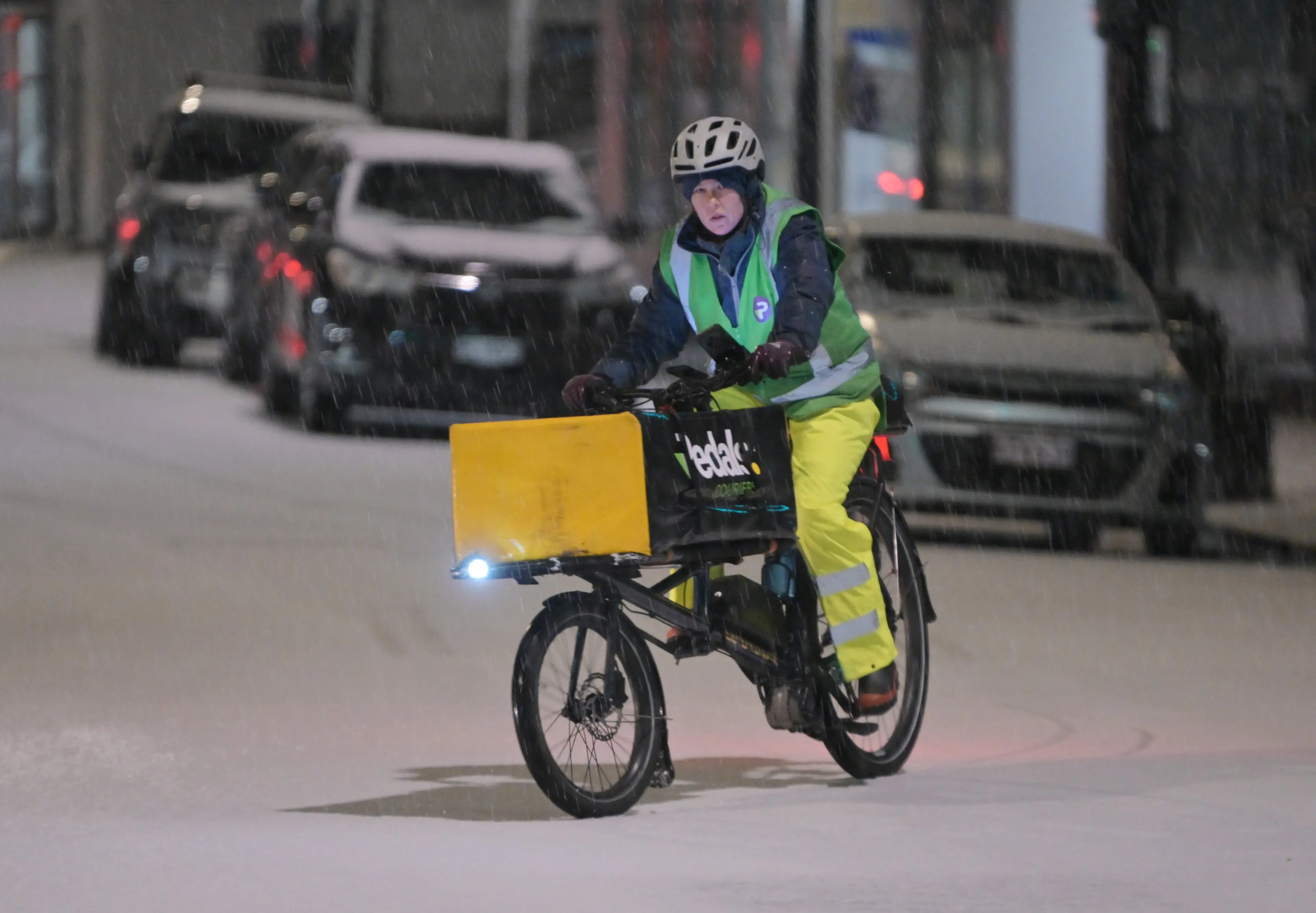
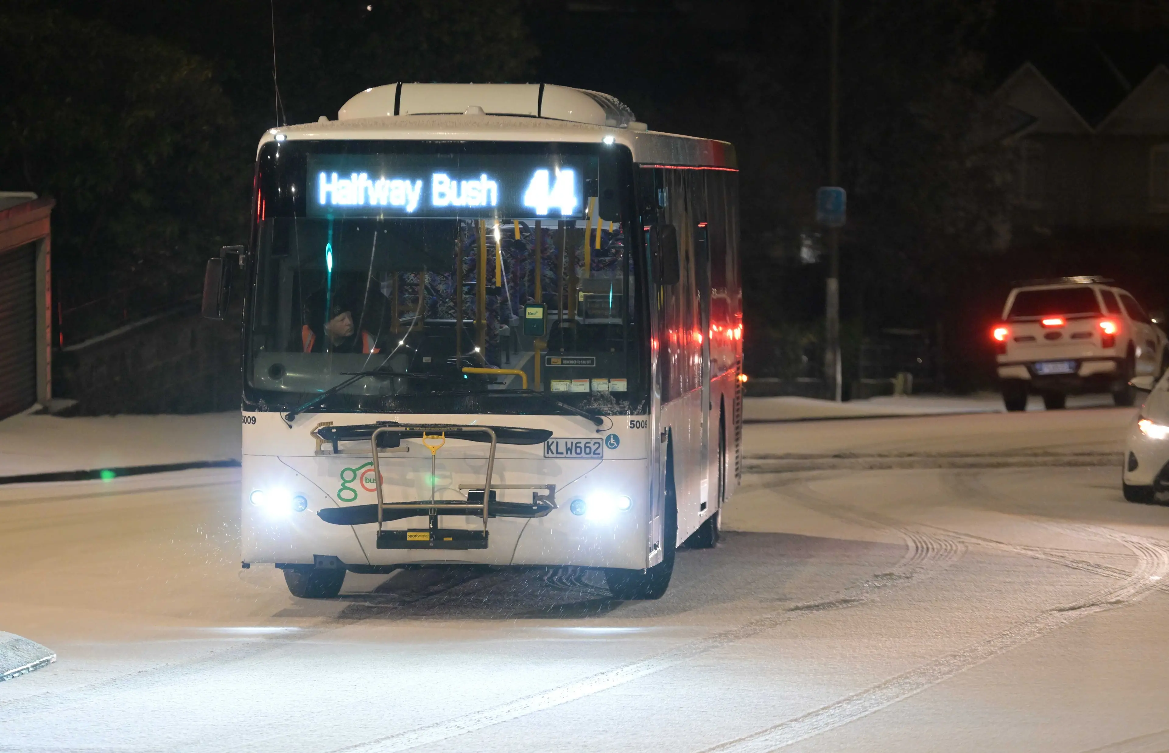
Numerous Dunedin buses were cancelled this morning because of snowy roads.
MetService said earlier a polar blast could bring snow to sea level around Dunedin until noon on Tuesday.
MetService forecaster Gerard Bellam earlier said a very cold front would hit Stewart Island and travel up the east coast of the South Island.
“Then behind that, we’re seeing a very cold outbreak of strong southwest winds coming all the way up from the ice [Antarctica].”
It was expected to bring snow down to low levels and winds gusting up to 90kmh, from South Otago, past Dunedin and into North Otago, he said.
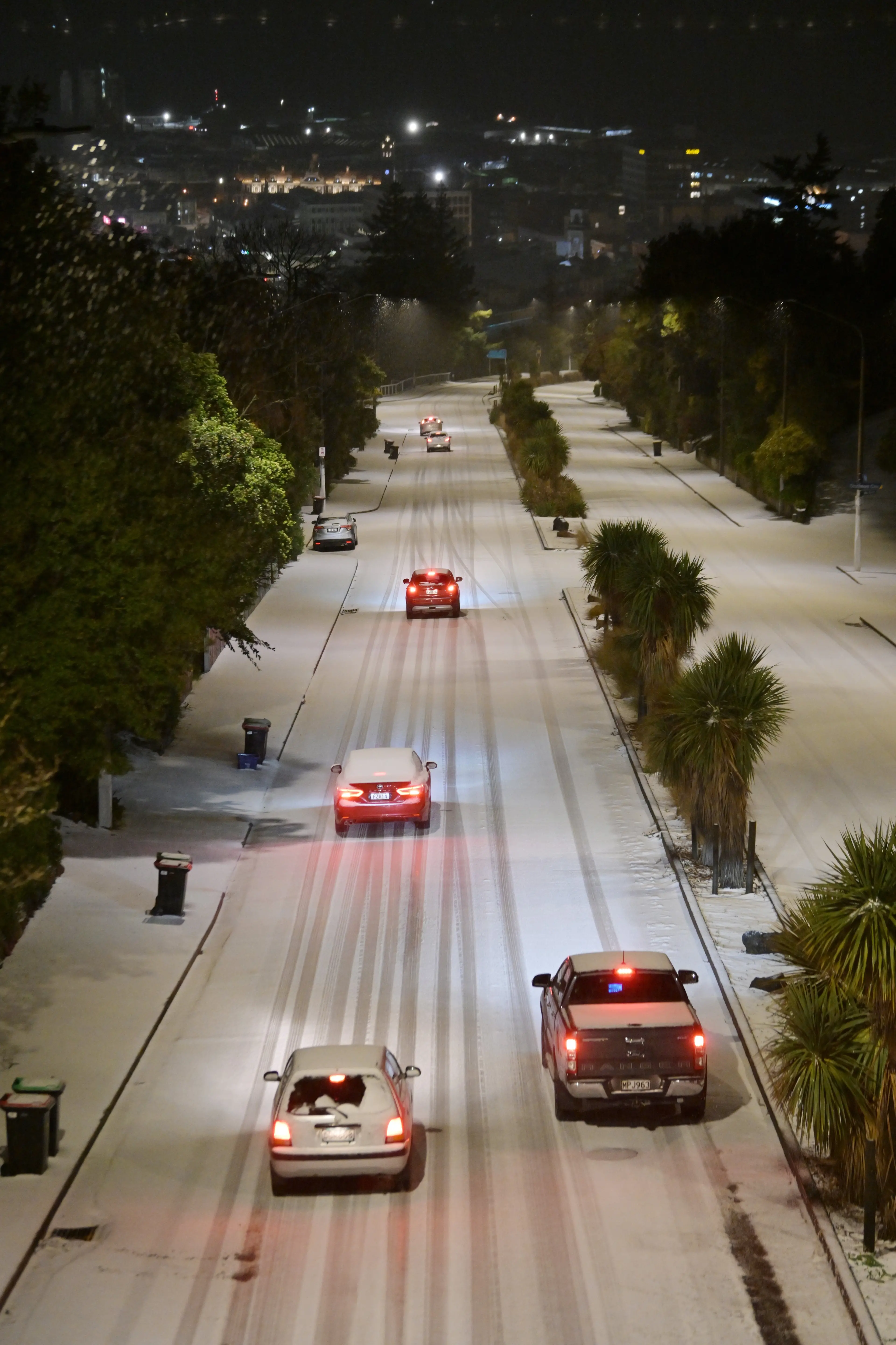
“So as we go overnight, in to Tuesday morning, we’re expecting snow down to about 200 metres, and that will affect Dunedin’s hill suburbs and the motorway heading out of the city as well.
“This is probably the coldest outbreak of this year, we’re thinking, but it’s mostly confined to the coastal areas of eastern Otago.
“It’s not really penetrating that much inland.”
The snow had the potential to create dangerous driving conditions around the higher suburbs of Dunedin — particularly Pine Hill.
“Certainly, we don’t need much — one or two centimetres is enough to cause disruption on those higher roads,” he said.
“It could provide some dicey driving conditions.
“And the thing is, I’ve noticed recently in these frosty outbreaks in Central Otago, and even up in the North Island, there has been quite a lot of minor crashes … so it needs to be pointed out to them [drivers].”
He urged residents to keep an eye on the forecast in case heavy snow and severe gale warnings were issued.
For the rest of the week, a large high pressure system was expected to sit over Otago and Southland, bringing clear skies and frosty mornings with temperatures dropping to -6˚C, he said.