
PHOTO
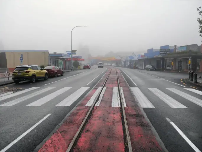
Heavy rain arrived in Northland on Tuesday as a subtropical low approaches the upper North Island and makes its way south.
Forecasters were expecting the low to reach the far north of the North Island overnight on Monday and then move southwards on Tuesday, reaching the northern South Island by Wednesday evening.
MetService had issued an orange heavy rain warning for Northland from 10pm on Monday, running into Tuesday. A strong wind watch is in force until 5pm with east to northeast gales possible in exposed places.
The forecaster warned up to 120 mm of rain could fall, especially in the north and east. Peak rates of 25 to 40 mm/h were possible during thunderstorms and localised downpours on Tuesday morning.
Rain was already heavy across Northland's east coast on Tuesday morning but but so far no major power outages or road closures have been reported.
The wettest areas were Kerikeri and Whangaroa, both of which recorded more than 60mm of rain in the 24 hours to 8am on Tuesday.
Kāeo recorded 55mm in the same period and Punaruku, in the area battered by the January storm, just over 50mm.
Lines companies Top Energy and Northpower are reporting no current outages as a result of the storm.
Kāeo River was running high but on Tuesday morning had not threatening State Highway 10 at the usual flooding point just north of the town.
High tide was due at 11am.
Northland Civil Defence says roads and river levels are mostly stable, but there was a lot of surface water on roads and paddocks, especially in the east, and the ground was still saturated from previous downpours. More rain was forecast this morning and afternoon, especially in northeastern parts of the region.
MetService cautioned of surface flooding, slips and difficult driving conditions.
Heavy rain watches are also in place for Auckland, north of Papakura, and Great Barrier Island; Coromandel Peninsula; Bay of Plenty, west of Whakatane, including Rotorua; Bay of Plenty about and east of Whakatane; and Tasman, northwest of Motueka. MetSrvice warned there was a moderate to high risk watches in those areas would be upgraded to warnings.
Meanwhile, a tropical cyclone could potentially head towards New Zealand within the next week.
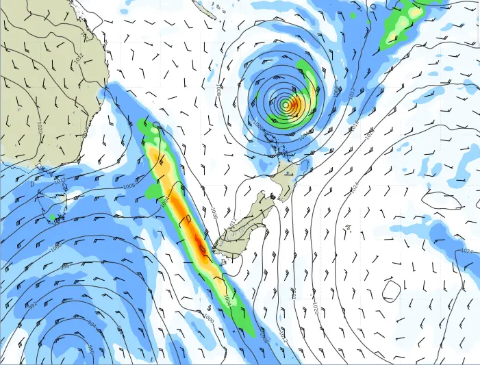
Two tropical cyclones are hovering over the South Pacific - Cyclone Maila in the Solomon Sea and Cyclone Vaianu to the east of Vanuatu.
MetService forecaster Louis Fernando said the Category 2 Cyclone Vaianu looked like it would intensify to a Category 3.
"Some of the models are indicating that perhaps towards the weekend the remnants at least of the cyclone could affect parts of the North Island."
Northland experienced heavy rains and flooding at the end of March and some parts are still recovering from the deluge.
