
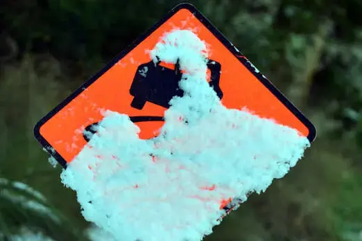
PHOTO
Many woke to freezing weather on Thursday as temperatures plunged below zero in parts of the South Island.
Invercargill reached its coldest this year, at -5.3°C, while Dunedin was on 1°C about 6am.
In Central Otago, there was a hard frost early on, with temperatures ranging from -8°C to -1°C.
In the Queenstown Lakes area it got as low as -9°C in Gibbston and on Malaghans Road, while Queenstown was -3°C.
Roads were mostly dry. However, there was ice on State Highway 6 Makarora-Haast and SH8 Lindis Pass.
In Canterbury, Aoraki Mount Cook Village was forecast to drop to -10°C, while Christchurch recorded -3°C early on.
I hope you're keeping warm on the coldest morning of the year
— MetService NZ (@MetService) August 5, 2026
Many places have recorded their coldest temperature this year. Auckland's the coldest it's been since 2021 and Taumarunui saw its 3rd coldest temperature ever (records since 2007). pic.twitter.com/XVcLo0PGtB
In the North Island, MetService said Auckland had its coldest temperatures recorded this year overnight.
Whenuapai Airport recorded -1.7°C and Auckland Airport was 1.5°C before 5am.
Metereologist Luis Fernandes said Auckland could be set for even lower temperatures on Thursday evening.
Other parts of the North Island saw sub-zero temperatures overnight on Wednesday including Taumarunui, Taupō and Hamilton.
MetService meteorologist Katie Lyons said widespread frosts were forecast.
"We've got a big ridge of high pressure which is giving a lot of clear skies, and that means cold temperatures, good cooling so people will be waking up to lots of frosts around the country.
"Places like Auckland could be anywhere between -2°C all the way up to 4°C. The likes of Wellington it could be anywhere between 0°C and 4°C."
Lyons said the cold snap was expected to end by the weekend.
"For most places into Friday that cold will continue.
“The West Coast of the South Island will be the first to slowly see those temperatures rise into Friday, and then for the rest of the country on Saturday it will feel like more of a return to normal as we get the next frontal feature moving in from the Tasman with some northwesterly winds."
Record demand for power
Transpower said there could be another record demand for electricity on Thursday, after the country's highest ever electricity use was recorded on Wednesday morning.
The power grid operator issued a notice to power companies advising there would be a potential shortfall of energy at peak times over the next couple of days.
Warnings were in place on Thursday and Friday between 7.30am and 8.30am.