PHOTO

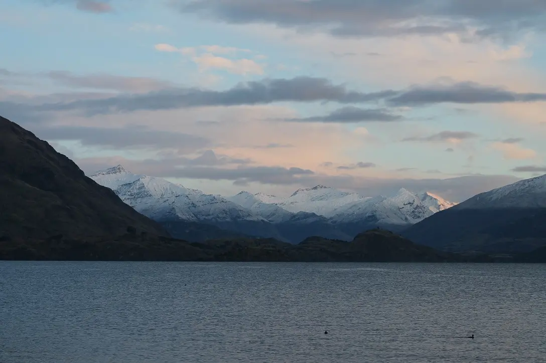
A wintry blast moving up the country has brought snow to parts of the South, including welcome dumps at the area's skifields.
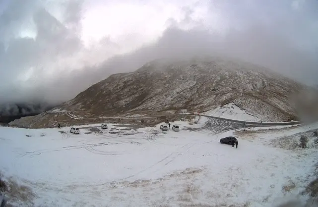
Wanaka residents woke this morning to see Treble Cone coated in a fresh 22cm layer of white.
The snowfall extended beyond the carpark.
Cardrona also received an estimated 14cm snowfall, seeing the start of their winter snow base.
Further up the valley, Mt Aspiring received a healthy top up of 43cm of snow.
At 8:30am the temperature in Wanaka was 2.3degC, with an expected high of 9degC later today.
Around Queenstown, the Remarkables Ski Area has also had a decent dump of snow today.
MetService has road snow warnings in place for the Crown Range and Milford roads today.
The forecaster says snow could fall to about 400m around the deep South today and tomorrow. Conditions are expected to improve on Sunday.
Further north, snow in Canterbury has turned Arthur's Pass Village and Castle Hill Village white, while heavy falls have been reported at Mt Hutt skifield and Porters Alpine Resort.
Snow was also expected at the top of the Lewis Pass.
"This will be the lowest snow many have seen so far this year," MetService said.
- Aspen Bruce/NZ Herald